SG130 is a multi-platform LiDAR system that combines high-resolution laser scanning and precise positional data to collect geo-referenced point cloud, which is particularly designed for geospatial survey scanning from air to ground.


Aerial & LiDAR
Geospasial
Marine & Hydrography
Pulsar Solution
Monitoring System
Agriculture & Precision Farming
Sensor Drone & Payload
UAV
Software
Integrated System
Disaster Migation
Mining
Infrastructure
Agriculture & Plantation
Marine & Water Resources
EPC & Industrial
Energy & Utilities
Sensor Drone & Payload
UAV
Software
Integrated System
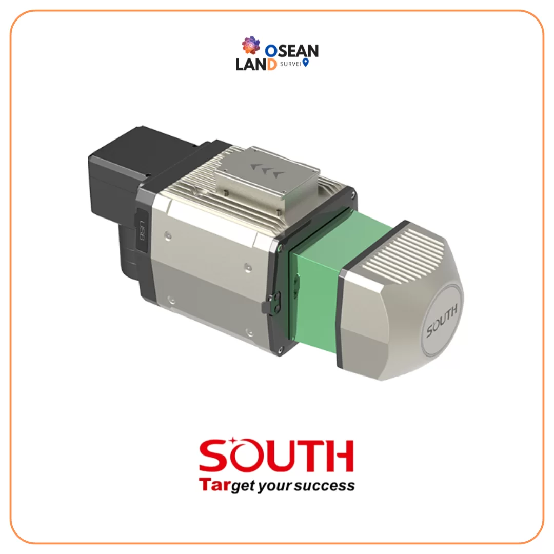
SG130 is a multi-platform LiDAR system that combines high-resolution laser scanning and precise positional data to collect geo-referenced point cloud, which is particularly designed for geospatial survey scanning from air to ground.
Contact our enterprise specialists today for a personalized consultation and a custom quote tailored to your industry’s needs.