Aerial & LiDAR

Geospasial

Marine & Hydrography

Pulsar Solution

Monitoring System

Agriculture & Precision Farming

Sensor Drone & Payload

UAV

Software

Integrated System

1745312764314

Disaster Migation

Mining

Infrastructure

Agriculture & Plantation

Marine & Water Resources

EPC & Industrial

Energy & Utilities

Sensor Drone & Payload

UAV

Software

Integrated System
1745312764314

Acoustic Doppler Current Profiler

Mapping the Depths with Unmatched Accuracy

Chart underwater terrain that was once impossible to survey efficiently. Combine multibeam sonar and bathymetric LiDAR systems to capture seabed contours, water depth, and coastal changes with centimeter-level precision. Produce nautical-grade hydrographic charts essential for port development, dredging, and marine safety.
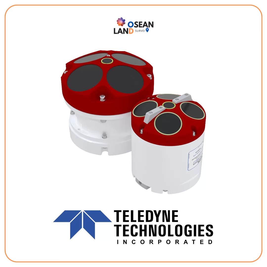
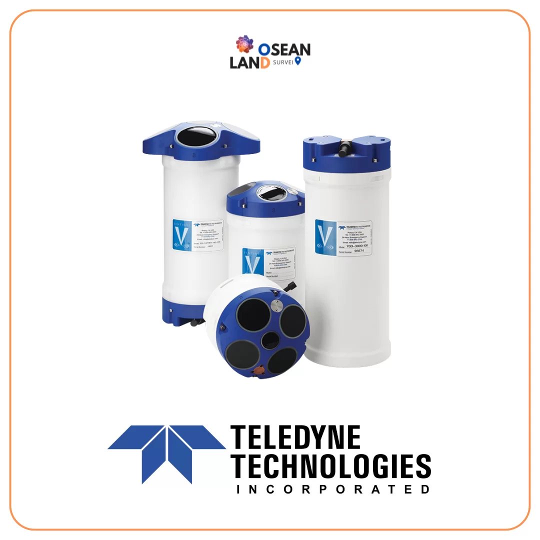
Teledyne Sentinel V

Sentinel V

Teledyne RD Instruments (TRDI) is continually committed to providing advanced technology solutions whilst maintaining the highest levels of service and support for our customers

View

Teledyne RDI RiverPro ADCP 600 and 1200

RDI RiverPro ADCP 600/1200

Unique in its class as a true broadband ADCP, the RiverPro 1200 delivers the very highest accuracy bottom track and water profiling on a second-by-second basis.

View

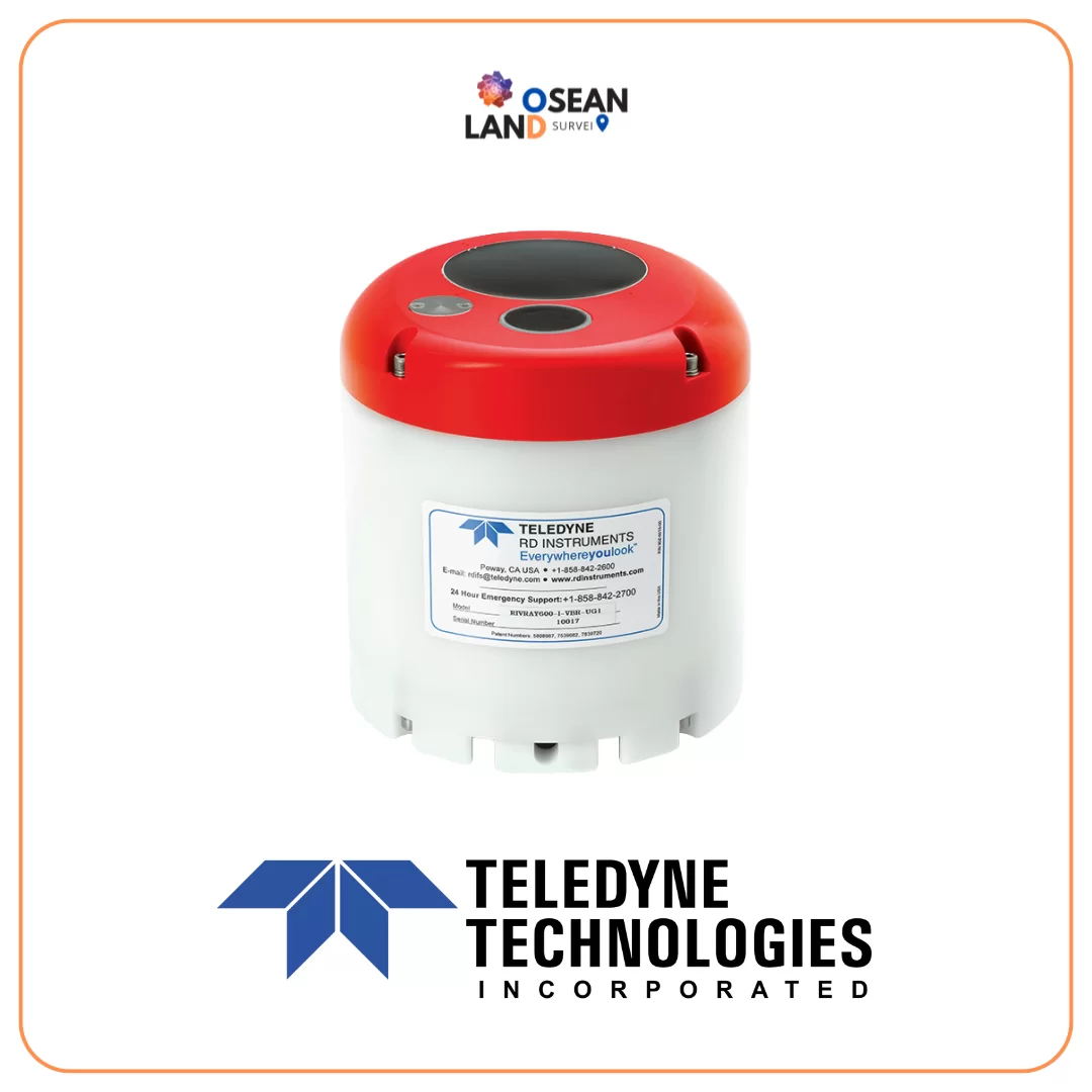
Teledyne RDI RIVER RAY ADCP

RDI RiverRay ADCP

Go straight to work collecting highly accurate stream and river discharge data with the RIVERRAY ADCP (Acoustic Doppler Current Profiler).

View

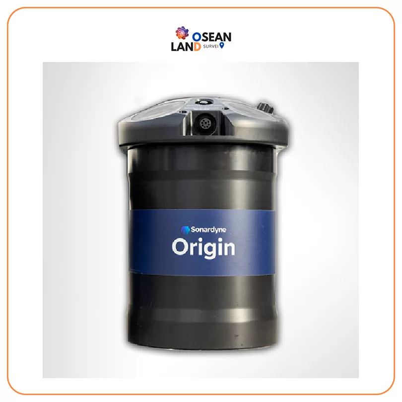
Sonardyne Origin 600 ADCP

Sonardyne Origin 600 ADCP

Origin rewrites the story of your relationship with an ADCP

View

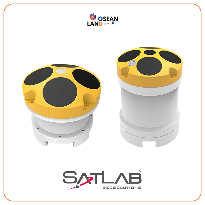
Satlab Hydroflow ADCP

The HydroFlow series direct-reading Acoustic Doppler Current Profiler(ADCP) is an accurate and easy to use current profiling system, which can be deployed on a flexible platform: trimaran, UVS, buoys and seafloor mounting and so on

View

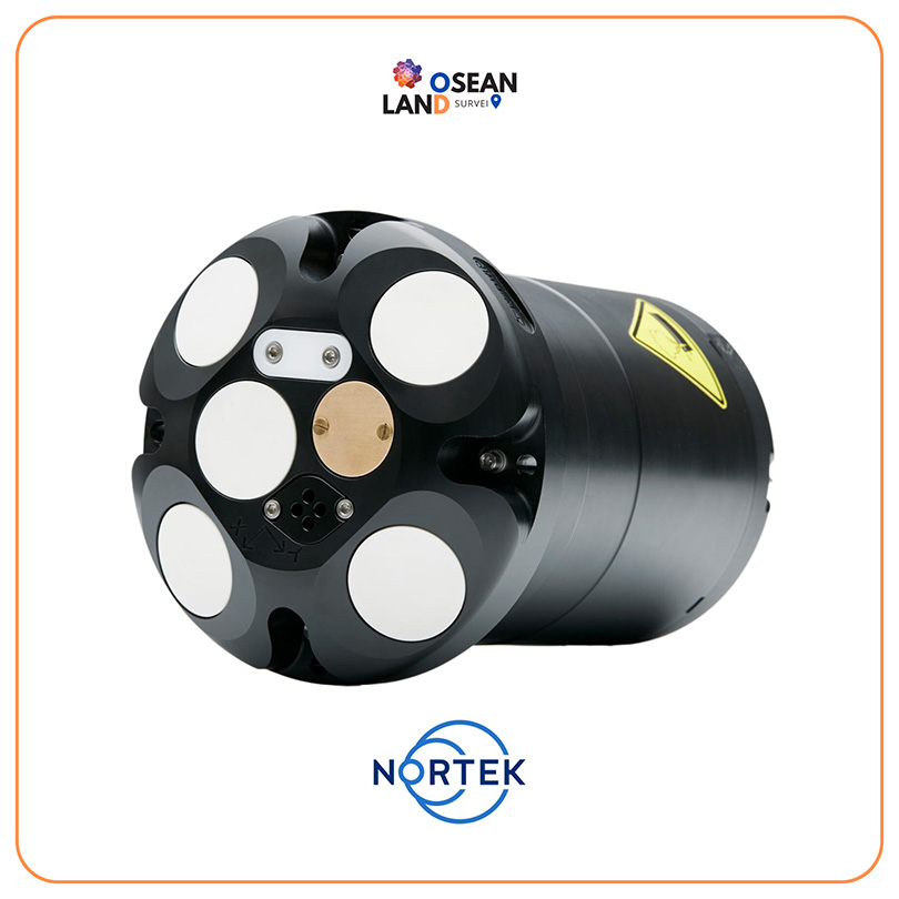
Nortek Signature1000 | Signature500

Nortek’s Signature1000 and Signature500 five-beam AD2CPs introduce a scientific powerhouse to the research community

View

All Filter

Sort by