Aerial & LiDAR

Geospasial

Marine & Hydrography

Pulsar Solution

Monitoring System

Agriculture & Precision Farming

Sensor Drone & Payload

UAV

Software

Integrated System

1745312764314

Disaster Migation

Mining

Infrastructure

Agriculture & Plantation

Marine & Water Resources

EPC & Industrial

Energy & Utilities

Sensor Drone & Payload

UAV

Software

Integrated System
1745312764314

MultiBeam Echosounder

Mapping the Depths with Unmatched Accuracy

Chart underwater terrain that was once impossible to survey efficiently. Combine multibeam sonar and bathymetric LiDAR systems to capture seabed contours, water depth, and coastal changes with centimeter-level precision. Produce nautical-grade hydrographic charts essential for port development, dredging, and marine safety.
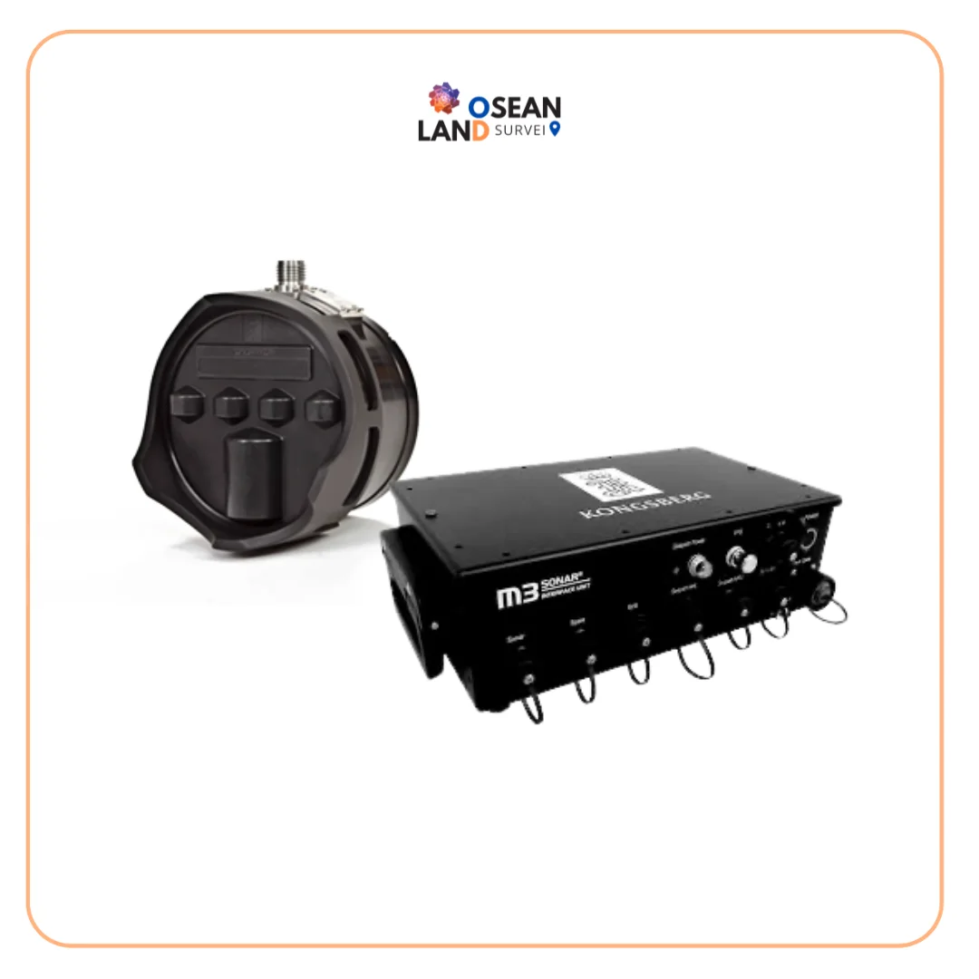
MBES M3 SONAR KONGSBERG

M3 Sonar MBES Kongsberg

The M3 Sonar is a powerful multibeam system designed to deliver both high-quality imaging and accurate bathymetric data from a single compact sonar head. With its patented eIQ (enhanced image quality) mode, it produces exceptionally clear underwater images while maintaining the speed and efficiency of multibeam technology.

View

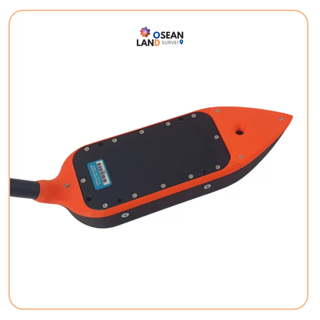
EchoNIMBUS - MBES Multibeam Echosounder Payload

EchoNIMBUS – MBES Multibeam Echosounder Payload

EchoNIMBUS-MBES payload includes: Cerulean Surveyor 240-16 MBES sensor headCerulean Bar30 depth/pressure sensorFoldable mount with housing/fairing for MBESData cable with connector for SkyHub onboard computerTransport caseSurveyor 240-16 is a 240 kHz multibeam echo sounder (MBES)

View

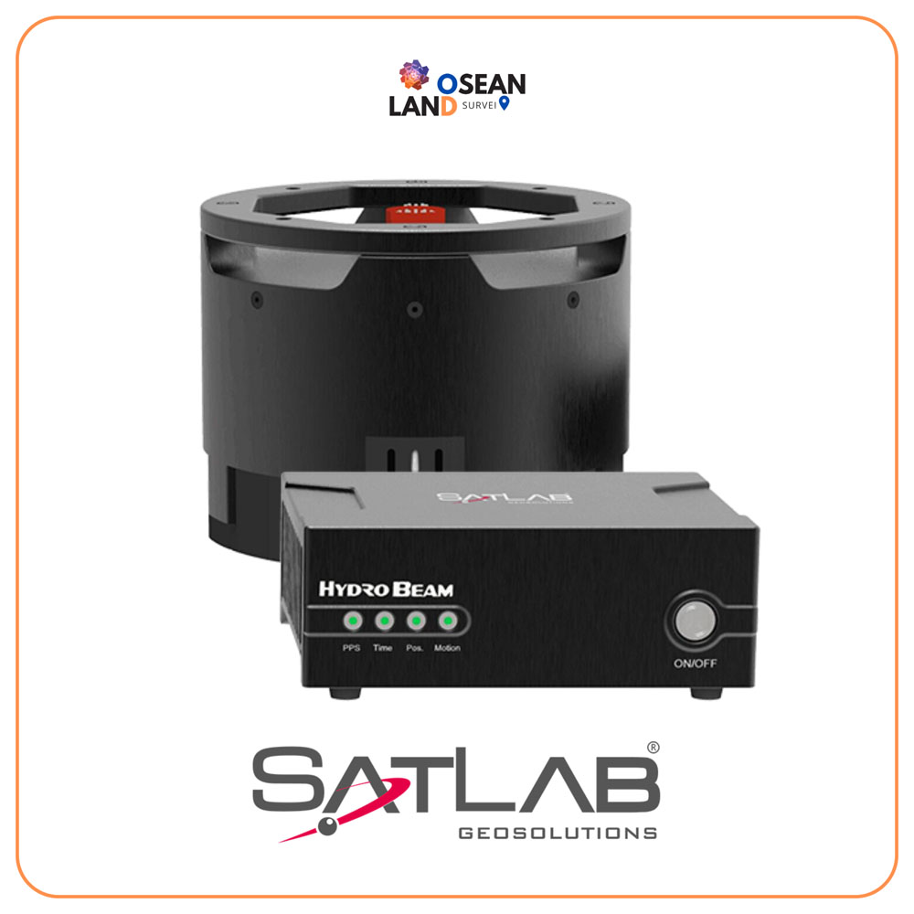
Hydrobeam M4

The HydroBeam M4 is an ingenious and compact portable multi-beam bathymetric system, brought to life by SatLab

View

All Filter

Sort by