Aerial & LiDAR

Geospasial

Marine & Hydrography

Pulsar Solution

Monitoring System

Agriculture & Precision Farming

Sensor Drone & Payload

UAV

Software

Integrated System

1745312764314

Disaster Migation

Mining

Infrastructure

Agriculture & Plantation

Marine & Water Resources

EPC & Industrial

Energy & Utilities

Sensor Drone & Payload

UAV

Software

Integrated System
1745312764314

Water Level

Mapping the Depths with Unmatched Accuracy

Chart underwater terrain that was once impossible to survey efficiently. Combine multibeam sonar and bathymetric LiDAR systems to capture seabed contours, water depth, and coastal changes with centimeter-level precision. Produce nautical-grade hydrographic charts essential for port development, dredging, and marine safety.
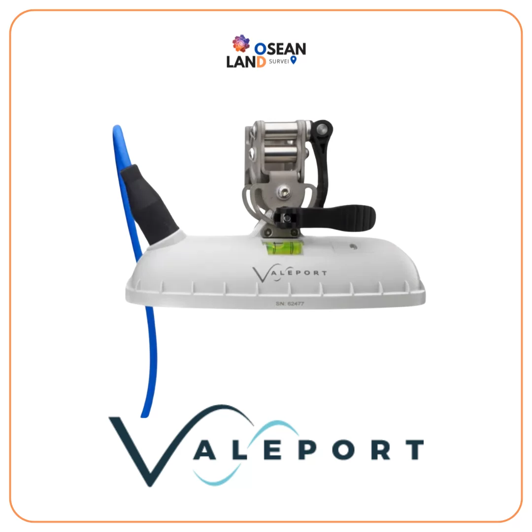
VALEPORT VRS 20

Valeport VRS-20

The VRS-20 is a pulsed k-band radar level sensor developed by Valeport to work seamlessly with the TideMaster tide logger, operate standalone with optional integrated GPRS telemetry or interface to a third party data logger

View

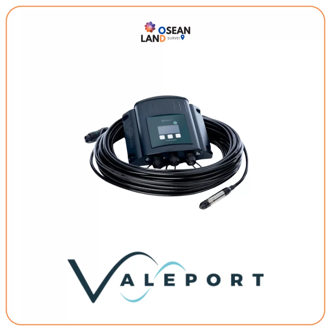
VALEPORT TIDEMASTER

Valeport Tidemaster

This small Water Level Recorder, suitable for use in fresh or salt water, can be deployed for up to one year, dependent on the sampling rate

View

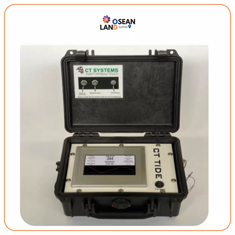
CT-Tide CT System (1)

CT-Tide CT System

RDPS FOR RIG MOVES The Rapidly Deployable Positioning System (RDPS) is designed and built to be a portable and complete system for precise positioning operations

View

All Filter

Sort by