Aerial & LiDAR

Geospasial

Marine & Hydrography

Pulsar Solution

Monitoring System

Agriculture & Precision Farming

Sensor Drone & Payload

UAV

Software

Integrated System

1745312764314

Disaster Migation

Mining

Infrastructure

Agriculture & Plantation

Marine & Water Resources

EPC & Industrial

Energy & Utilities

Sensor Drone & Payload

UAV

Software

Integrated System
1745312764314

Side Scan Sonar

Mapping the Depths with Unmatched Accuracy

Chart underwater terrain that was once impossible to survey efficiently. Combine multibeam sonar and bathymetric LiDAR systems to capture seabed contours, water depth, and coastal changes with centimeter-level precision. Produce nautical-grade hydrographic charts essential for port development, dredging, and marine safety.
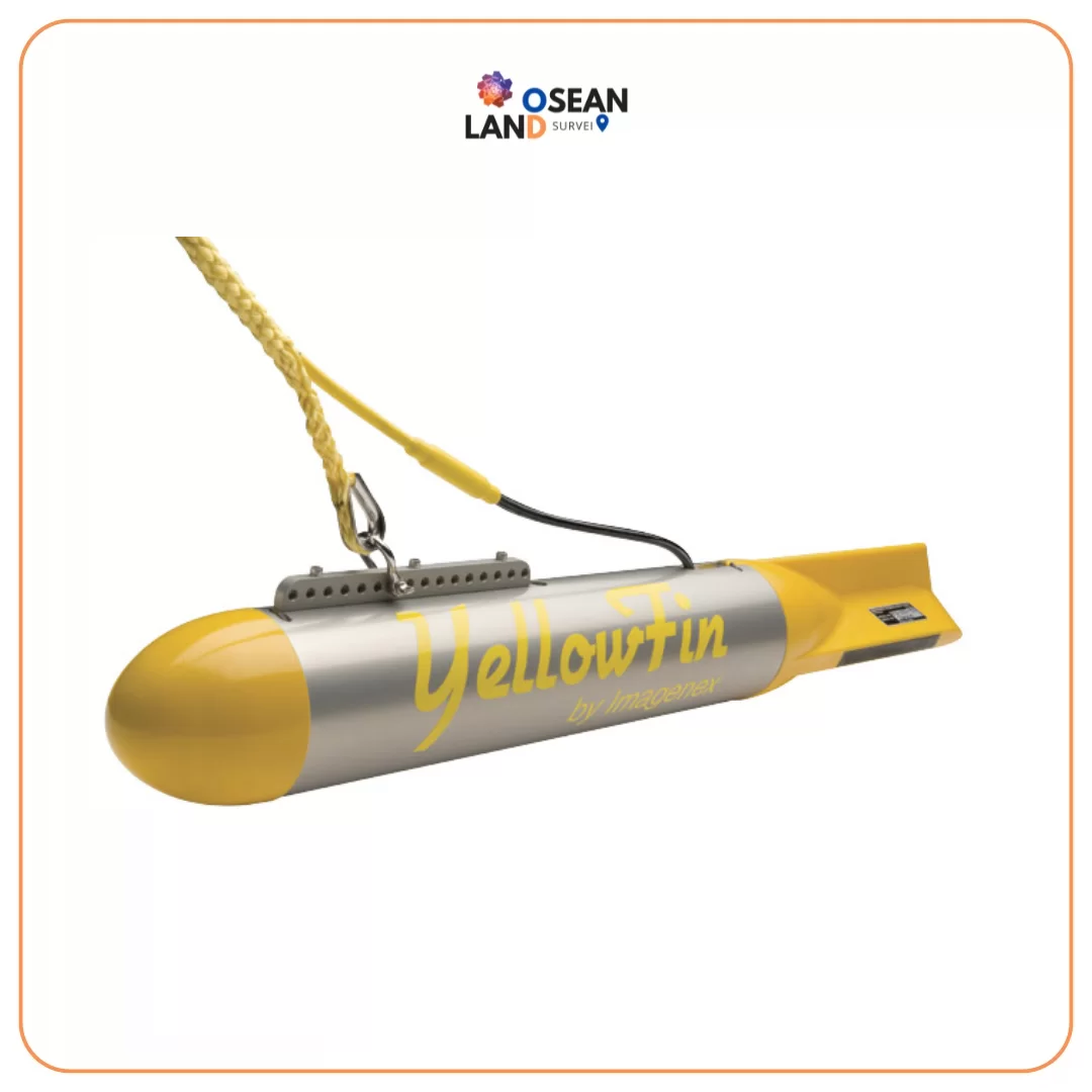
YellowFin

Imagenex Model 872 “YellowFin” Sidescan Sonar

The Imagenex Model 872 “YellowFin” is a full-featured dual channel, high resolution, sidescan sonar

View

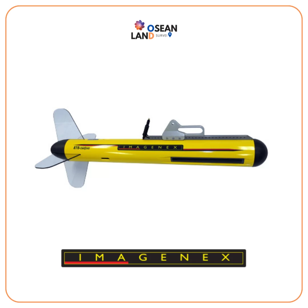
Imagenex Model _878_ Sidescan Sonar

Imagenex Model “878” Sidescan Sonar

The Imagenex Model 878 Sidescan Sonar is the next generation in high resolution sidescan sonar

View

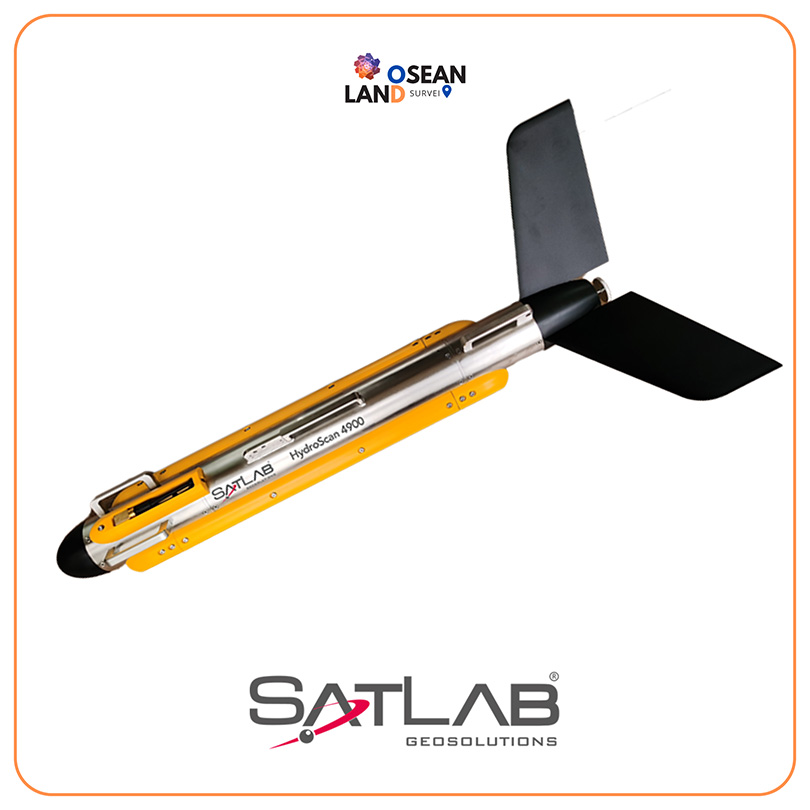
SATLAB HydroScan Side Scan Sonar

With the possibility to switch freely between CW and CHIRP on multiple frequencies, at 100kHz, 400kHz or 900kHz, the side scan sonar system provides a clearer view of the water bottom on dual simultaneous frequency, for object searching, dredging, and other industry applications

View

All Filter

Sort by