Aerial & LiDAR

Geospasial

Marine & Hydrography

Pulsar Solution

Monitoring System

Agriculture & Precision Farming

Sensor Drone & Payload

UAV

Software

Integrated System

1745312764314

Disaster Migation

Mining

Infrastructure

Agriculture & Plantation

Marine & Water Resources

EPC & Industrial

Energy & Utilities

Sensor Drone & Payload

UAV

Software

Integrated System

1745312764314

Laser Scanner

Precision Data for Real-World Decisions

Transform raw location data into insights you can act on immediately. Integrate GPS, satellite imagery, and drone-captured data into unified geospatial models with survey-grade accuracy. Deliver GIS-ready maps and 3D models that power infrastructure, urban planning, and land management decisions.

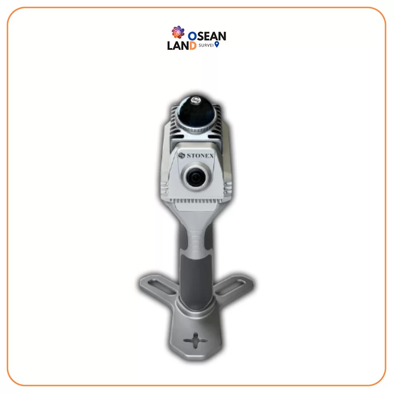
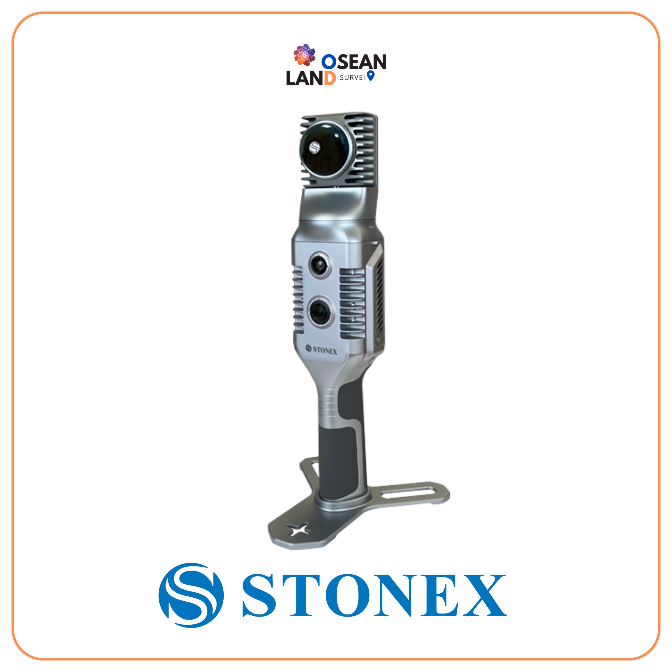
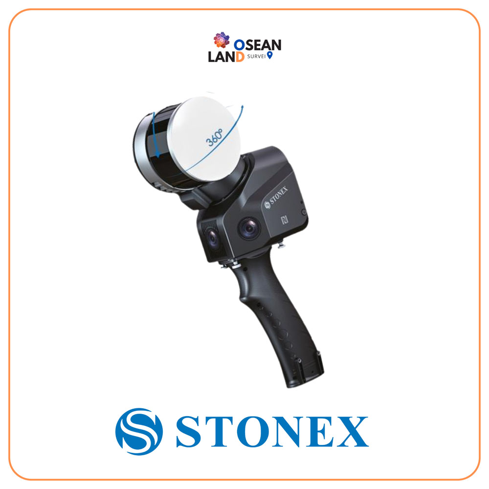
X40 GO Slam Laser Scanner

Stonex X40 GO SLAM Laser Scanner

X40GO is a compact system providing high-precision point cloud data, based on SLAM technology

View

Rental SLAM X70 GO

X70GO is a real-time 3D model reconstruction device which integrates inertial navigation module, high performance computer and storage system

View

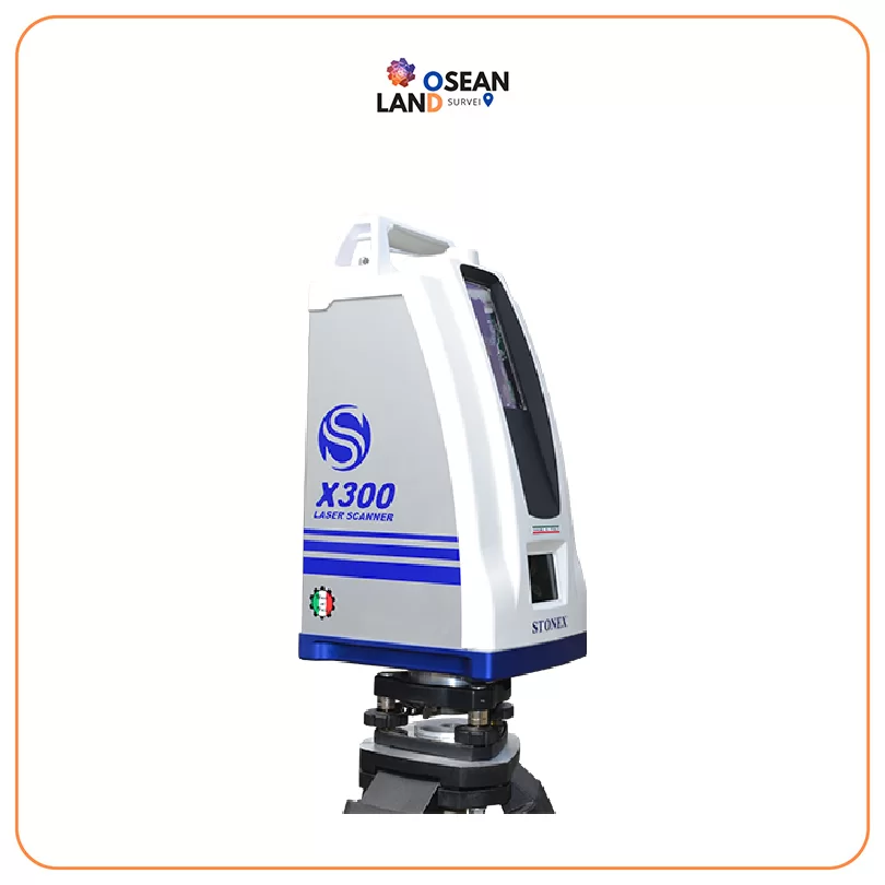
X300 Laser Scanner

X300 Laser Scanner

STONEX X300 is a 3D Laser Scanner designed to provide accurate data every time and for any project

View

SLAM X70 GO

X70GO is a real-time 3D model reconstruction device which integrates inertial navigation module, high performance computer and storage system.

View

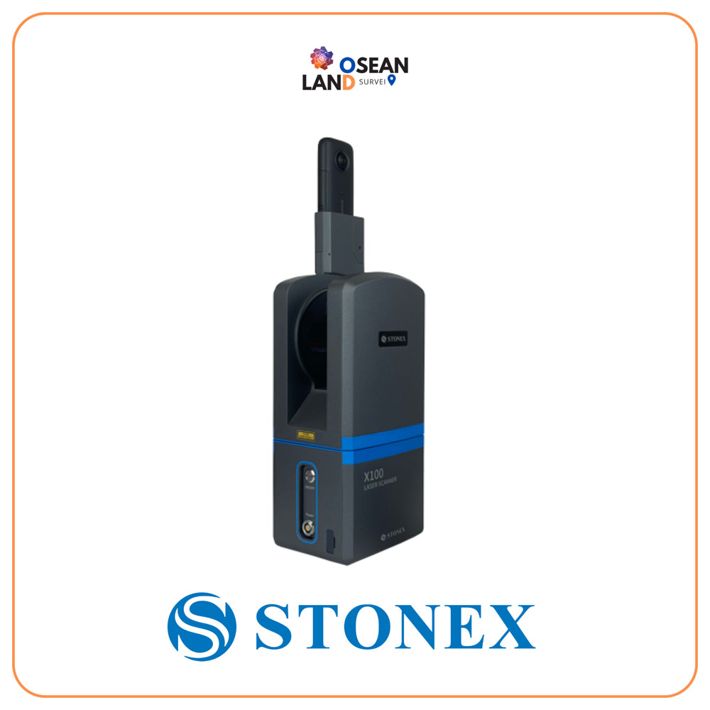
X100 Laser Scanner

X100 is a small and compact terrestrial laser scanner that is quick and easy to use

View

X120GO Laser Scanner

FIXAR 007 is a fully autonomous, VTOL fixed-wing drone designed for drone mapping and inspections, aerial imaging, precision agriculture, oil and gas, surveillance, and monitoring

View

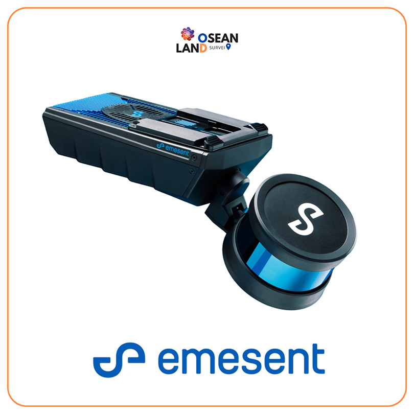
Emesent Hovermap

Emesent Hovermap

Hovermap incorporates the latest in LiDAR sensing technology to offer high density point clouds with exceptional coverage

View

All Filter

Sort by