Aerial & LiDAR

Geospasial

Marine & Hydrography

Pulsar Solution

Monitoring System

Agriculture & Precision Farming

Sensor Drone & Payload

UAV

Software

Integrated System

1745312764314

Disaster Migation

Mining

Infrastructure

Agriculture & Plantation

Marine & Water Resources

EPC & Industrial

Energy & Utilities

Sensor Drone & Payload

UAV

Software

Integrated System

1745312764314

Marine & Hydrography

Mapping the Depths with Unmatched Accuracy

Chart underwater terrain that was once impossible to survey efficiently. Combine multibeam sonar and bathymetric LiDAR systems to capture seabed contours, water depth, and coastal changes with centimeter-level precision. Produce nautical-grade hydrographic charts essential for port development, dredging, and marine safety.

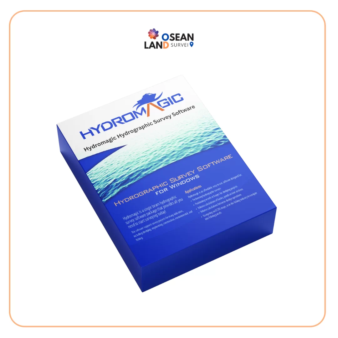
Hydromagic

HydroMagic

Hydromagic is a professional hydrographic survey package, which can be used to map depth areas using an echo sounder and GNSS receiver.

View

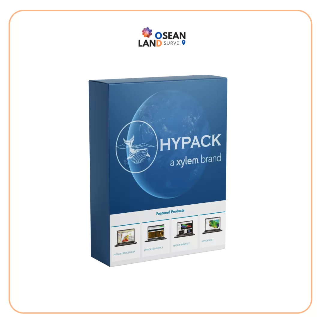
Hypack

HYPACK

Complete Hydrographic Software Package HYPACK® software was developed by Coastal Oceanographics, subsequently renamed HYPACK

View

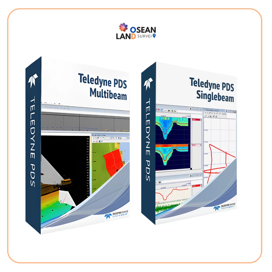
Teledyne PDS

Teledyne PDS

Teledyne PDS is a multipurpose software platform and supports a wide range of tasks within hydrography, dredge guidance, construction support, search & recovery operations, and port entrance monitoring.

View

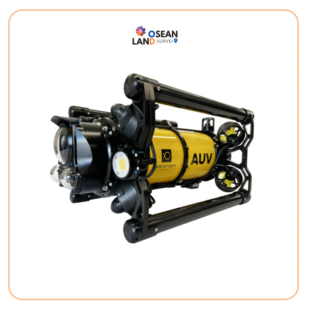
Boxfish AUV

Boxfish AUV

The Boxfish AUV is a latest-generation tetherless hovering autonomous underwater vehicle engineered to deliver precision, stability, and operational flexibility.

View

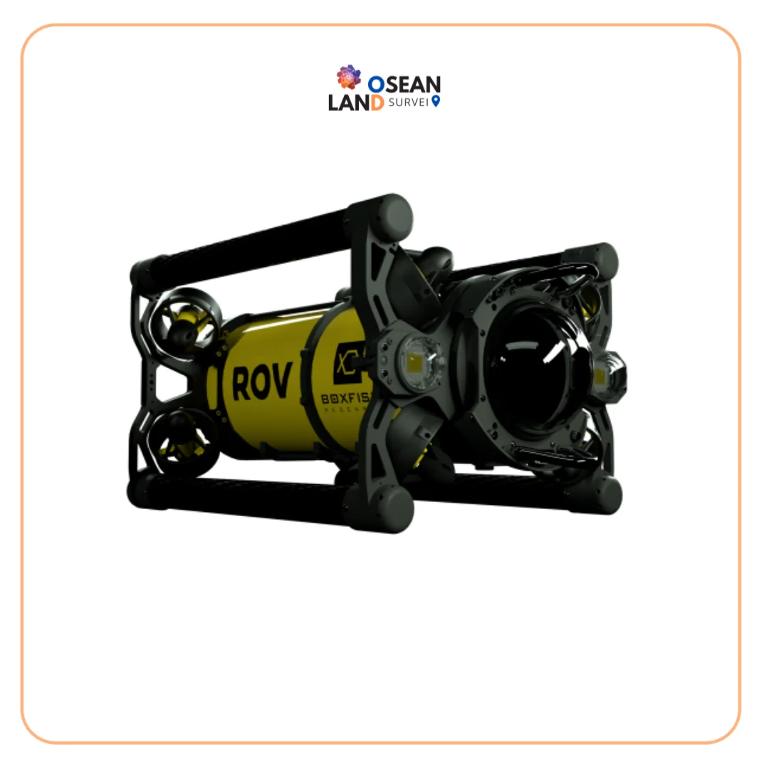
Boxfish ROV

Boxfish ROV

The Boxfish ROV features an innovative lightweight design that enables easy deployment and operation by a crew of just two, directly from small vessels without requiring additional launch and recovery equipment.

View

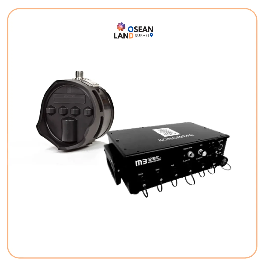
MBES M3 SONAR KONGSBERG

M3 Sonar MBES Kongsberg

The M3 Sonar is a powerful multibeam system designed to deliver both high-quality imaging and accurate bathymetric data from a single compact sonar head. With its patented eIQ (enhanced image quality) mode, it produces exceptionally clear underwater images while maintaining the speed and efficiency of multibeam technology.

View

TOTIS Software ver 2

TOTIS Software ver 2

Total Tide Solution for Modern Hydrographic Operations TOTIS (Total Tide Solution) is a powerful, IHO-compliant tidal processing software designed to deliver highly accurate tidal analysis and prediction for professional hydrographic, coastal engineering, and maritime applications

View

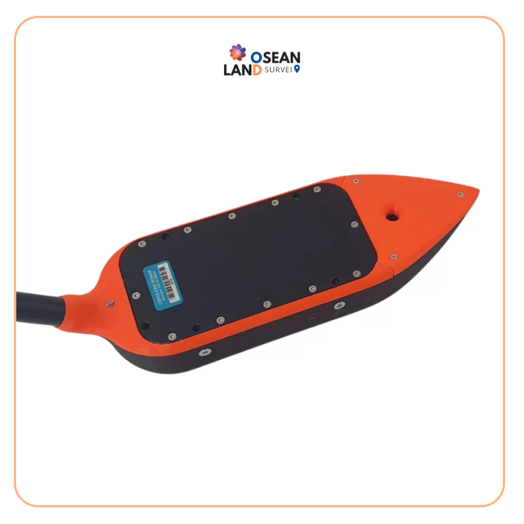
EchoNIMBUS - MBES Multibeam Echosounder Payload

EchoNIMBUS – MBES Multibeam Echosounder Payload

EchoNIMBUS-MBES payload includes: Cerulean Surveyor 240-16 MBES sensor headCerulean Bar30 depth/pressure sensorFoldable mount with housing/fairing for MBESData cable with connector for SkyHub onboard computerTransport caseSurveyor 240-16 is a 240 kHz multibeam echo sounder (MBES)

View

All Filter

Sort by