Aerial & LiDAR

Geospasial

Marine & Hydrography

Pulsar Solution

Monitoring System

Agriculture & Precision Farming

Sensor Drone & Payload

UAV

Software

Integrated System

1745312764314

Disaster Migation

Mining

Infrastructure

Agriculture & Plantation

Marine & Water Resources

EPC & Industrial

Energy & Utilities

Sensor Drone & Payload

UAV

Software

Integrated System

1745312764314

Brand

Brand

Osean Land Group brings together a portfolio of international brands that provide professional surveying, geospatial, hydrographic, oceanographic, drone, and monitoring technologies for projects across Indonesia.

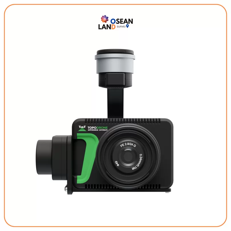
Topodrone P61 +PPK

Topodrone P61 +PPK

Professional modified camera with TOPODRONE LiDAR support and 61MP resolution, full frame sensor, mechanical shutter, ISO 100-25600, 20 mm lens, weighs 450 g

View

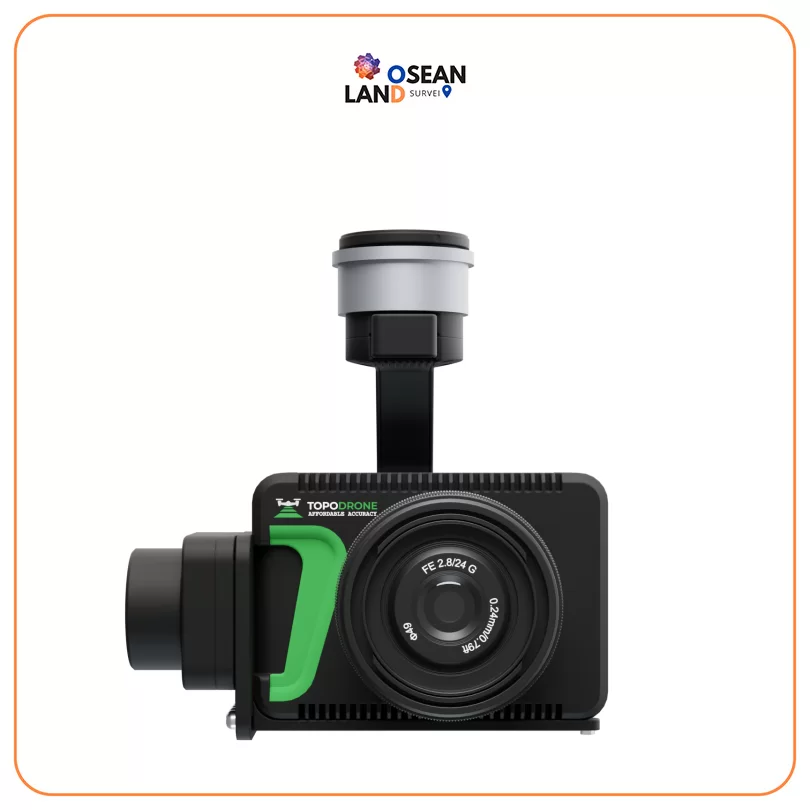
Topodrone P24 +PPK

Topodrone P24 +PPK

Professional modified camera with TOPODRONE LiDAR support and 61MP resolution, full frame sensor, mechanical shutter, ISO 100-25600, 20 mm lens, weighs 450 g

View

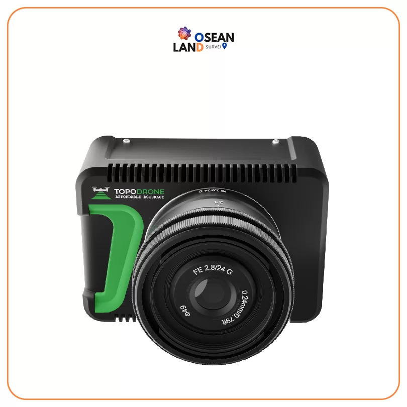
Topodrone P24

Topodrone P24

Professional modified camera with TOPODRONE LiDAR support and 24 Mp resolution, full frame sensor, mechanical shutter, ISO 100-25600, 16 mm lens, weighs 450 g

View

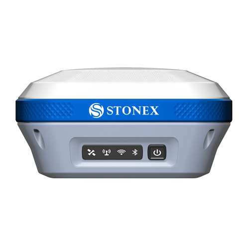
Stonex S850+

Equipped with an advanced 1408-channel GNSS board and capable of supporting various satellite constellations, including GPS, GLONASS, BEIDOU, GALILEO and QZSS

View

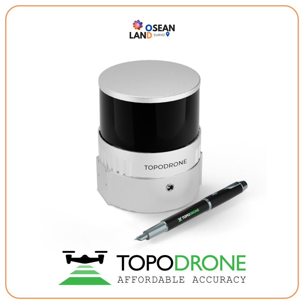
Topodrone 200+

The Hesai XT32M2X laser scanner has a working range of 300 meters and a working flight altitude of 200 meters

View

DJI Matrice 400

DJI Matrice 400

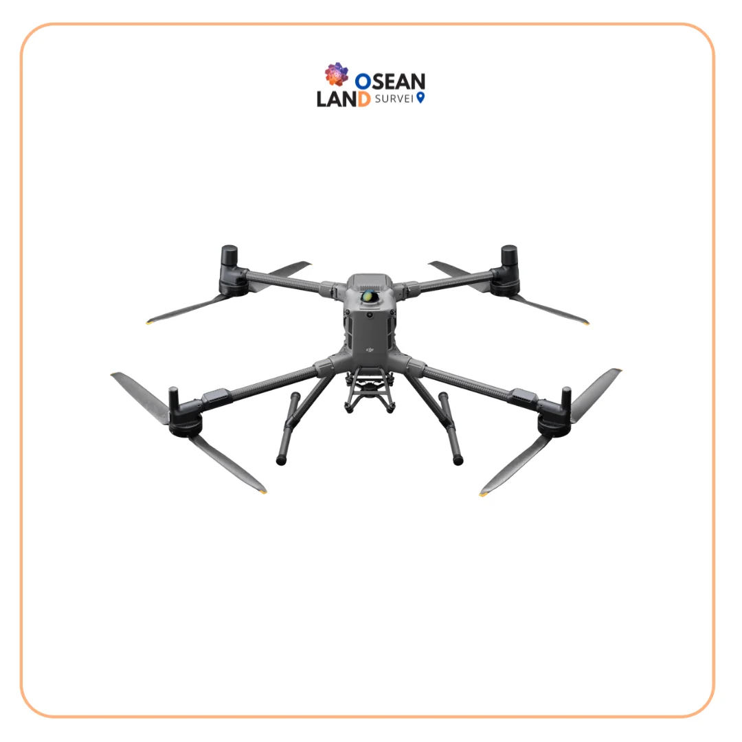
DJI Matrice 400 The DJI Matrice 400 is a next-generation enterprise drone

View

All Filter

Sort by