Aerial & LiDAR
Geospasial
Marine & Hydrography
Pulsar Solution
Monitoring System
Agriculture & Precision Farming
Sensor Drone & Payload
UAV
Software
Integrated System
Disaster Migation
Mining
Infrastructure
Agriculture & Plantation
Marine & Water Resources
EPC & Industrial
Energy & Utilities
Sensor Drone & Payload
UAV
Software
Integrated System
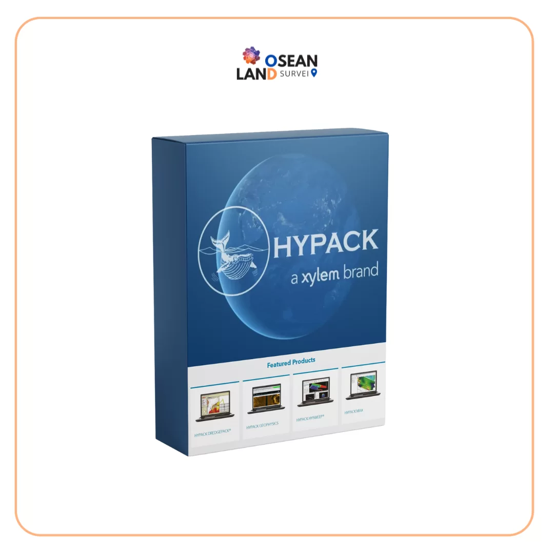
HYPACK is a comprehensive hydrographic and marine survey software platform used for data acquisition, processing, quality control, charting, and final deliverables. Its workflows support single-beam and multibeam surveying, LiDAR, dredging, volume calculations, and seabed mapping. Osean Land Group provides HYPACK solutions for professional hydrographic operations.