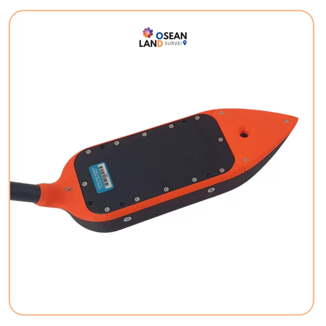
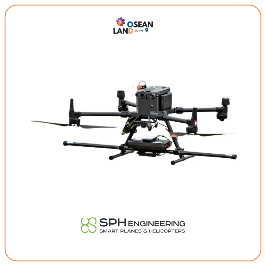
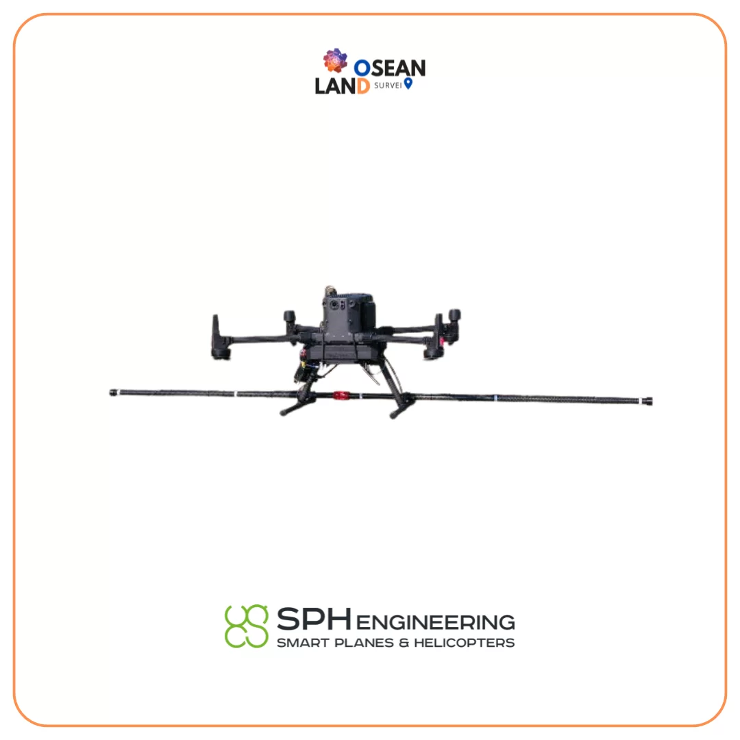
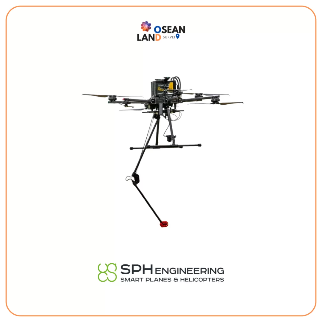
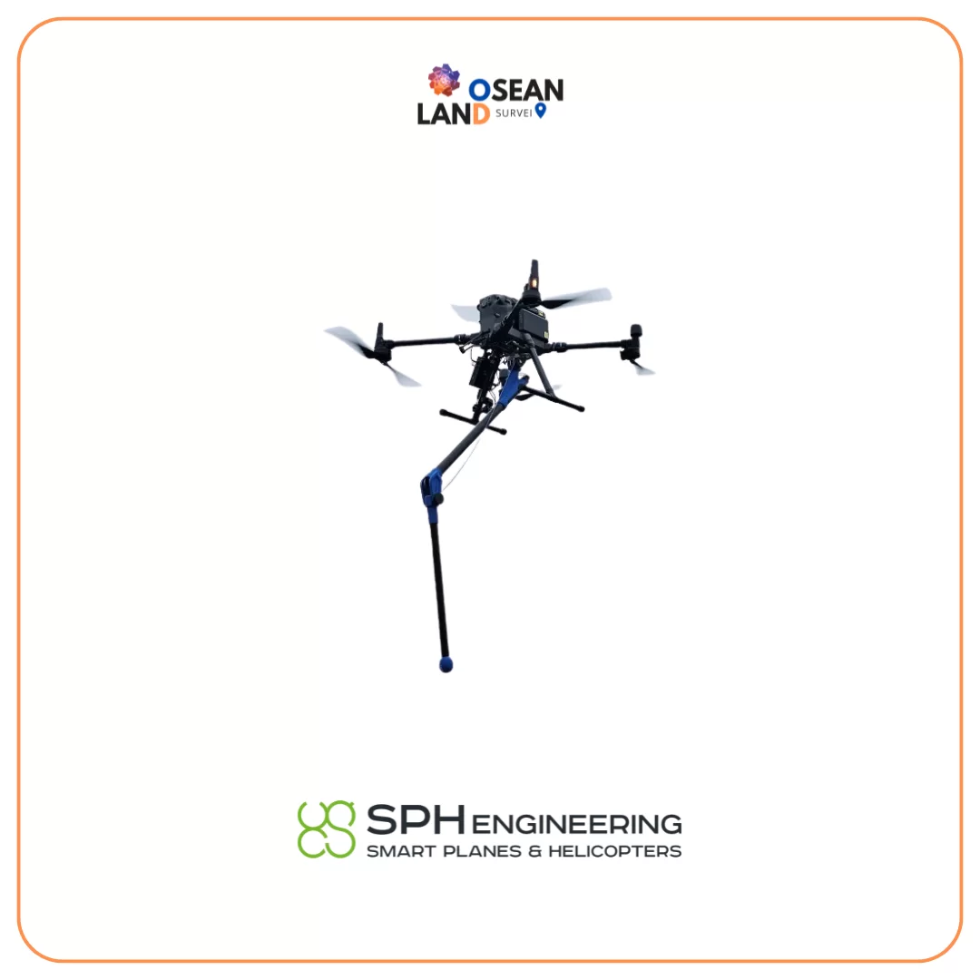
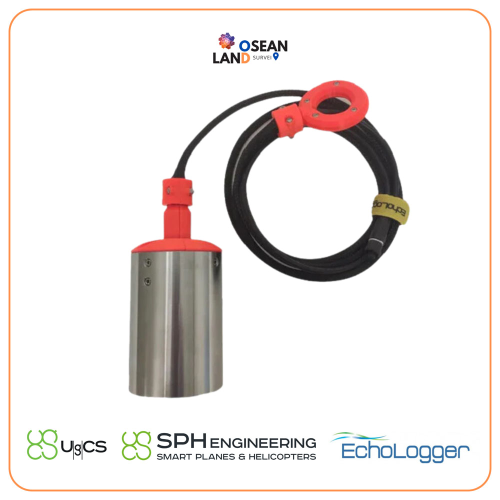
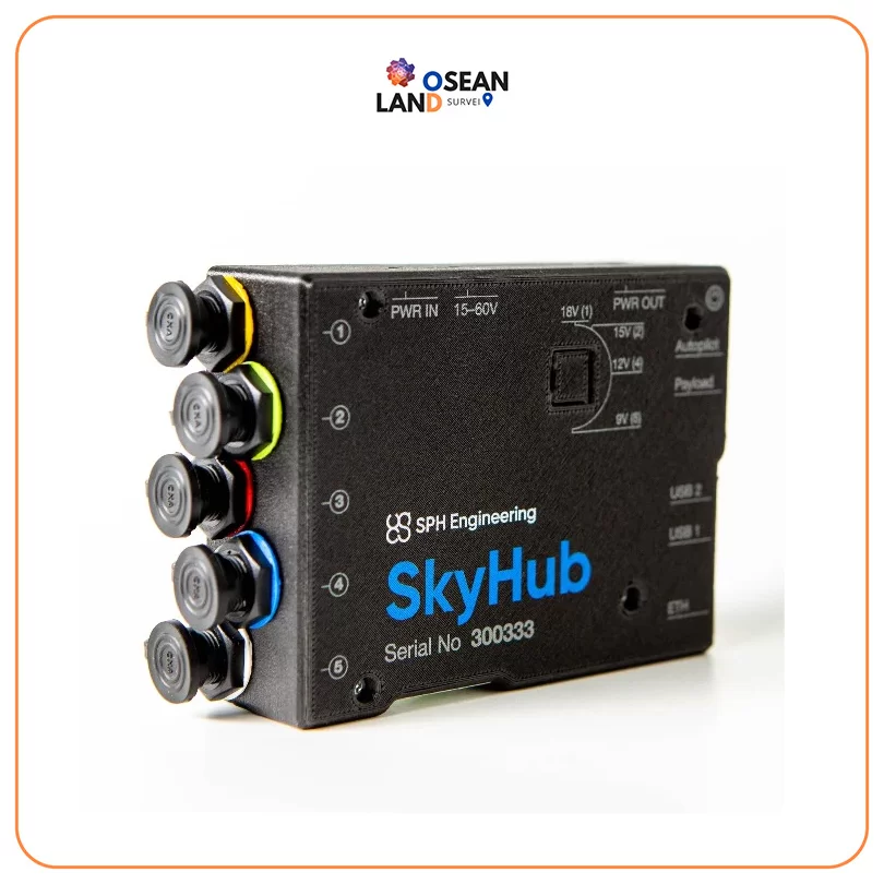
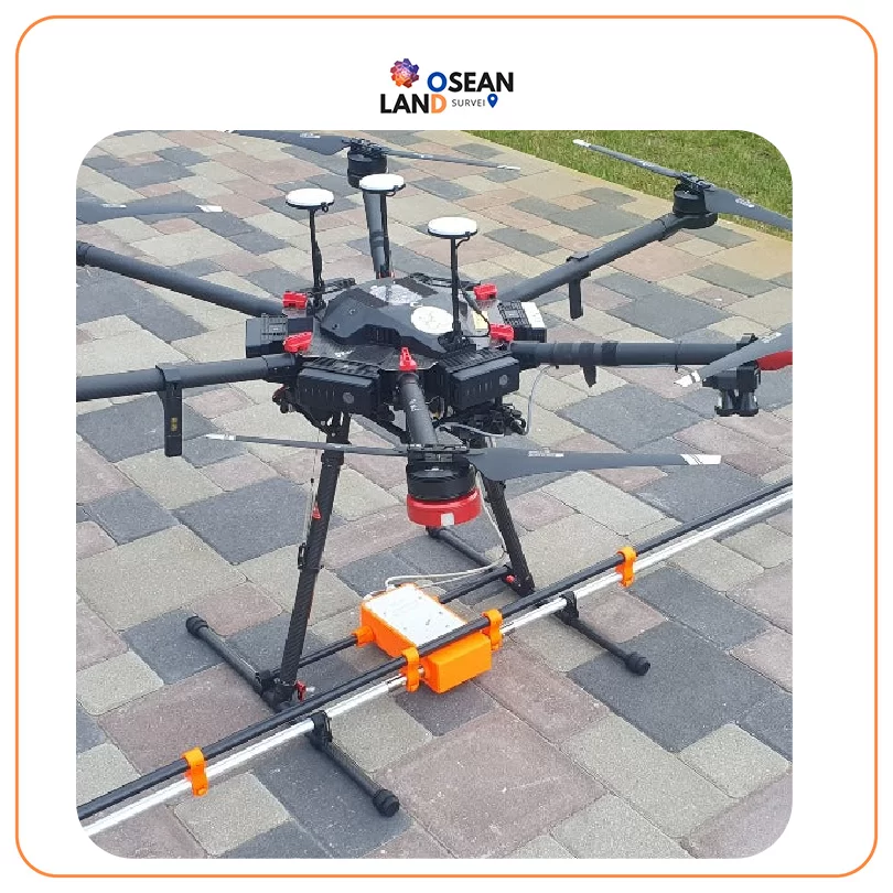
SPH Engineering develops drone and unmanned-system software for flight planning, sensor integration, data acquisition, and geospatial workflows. Its UgCS ecosystem supports survey-grade drone mapping, volumetric measurement, construction, mining, and other professional applications. Osean Land Group provides SPH Engineering solutions for advanced drone surveying and mapping.