Aerial & LiDAR

Geospasial

Marine & Hydrography

Pulsar Solution

Monitoring System

Agriculture & Precision Farming

Sensor Drone & Payload

UAV

Software

Integrated System

1745312764314

Disaster Migation

Mining

Infrastructure

Agriculture & Plantation

Marine & Water Resources

EPC & Industrial

Energy & Utilities

Sensor Drone & Payload

UAV

Software

Integrated System

1745312764314

Aerial & LiDAR

High-Speed 3D Mapping from Above

Cover vast terrain in a fraction of the time. Mount powerful LiDAR payloads onto airborne drones to penetrate dense vegetation, capture precise elevation models, and generate high-density point clouds for large-scale planning.
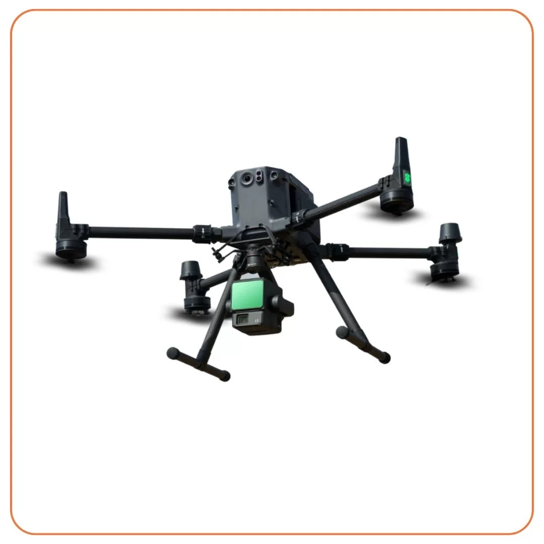
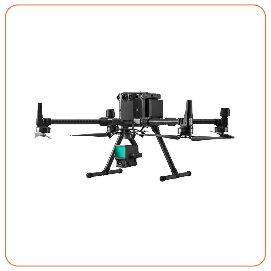
DJI Matrice 350 + L2

Rental DJI Matrice 350 + L2

1 DJI Matrice 350 The Matrice 350 RTK is an upgraded flagship drone platform that sets a new benchmark for the industry

View

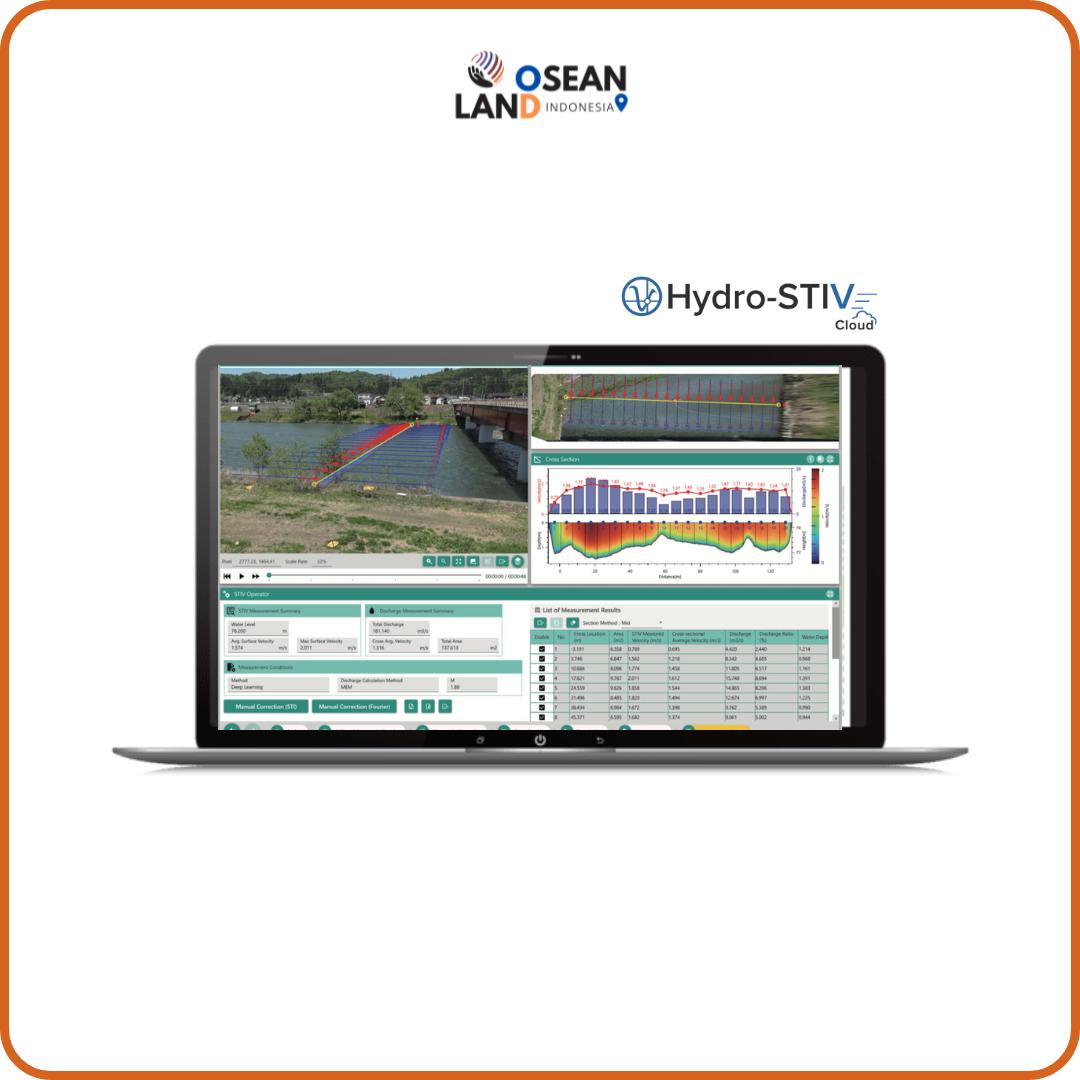
Hydro Stiv Cloud

「Hydro-STIV Cloud」 is a flow velocity and discharge measurement system that uses video images and water level information

View

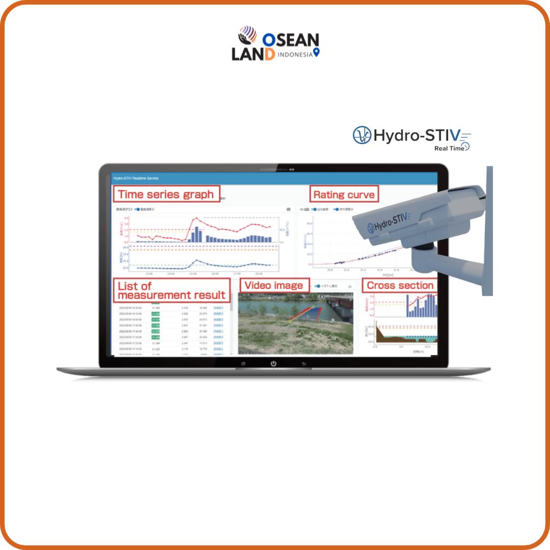
Hydro Stiv Real Time

Hydro-STIV Real Time is a system that automatically observes discharge using videos recorded by a camera and water level

View

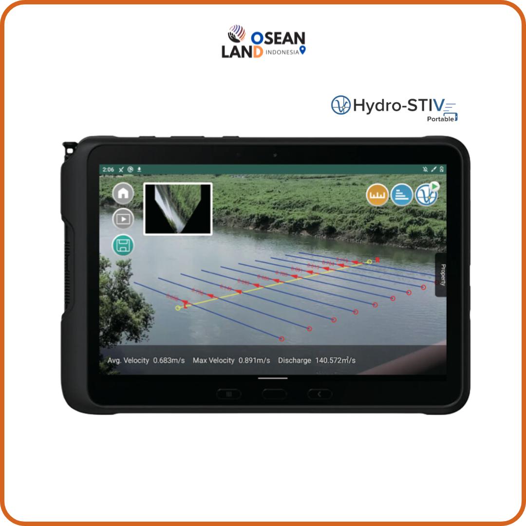
Hydro Stiv Portable

The Hydro-STIV Portable is a measurement device that can record videos with a built-in camera in a smartphone or tablet and perform velocity and discharge measurements on-site

View

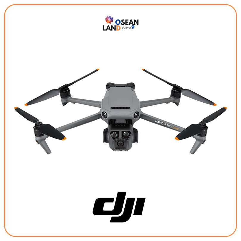
Rental DJI Mavic 3 Enterprise

The Mavic 3 Enterprise Series redefines industry standards for small commercial drones

View

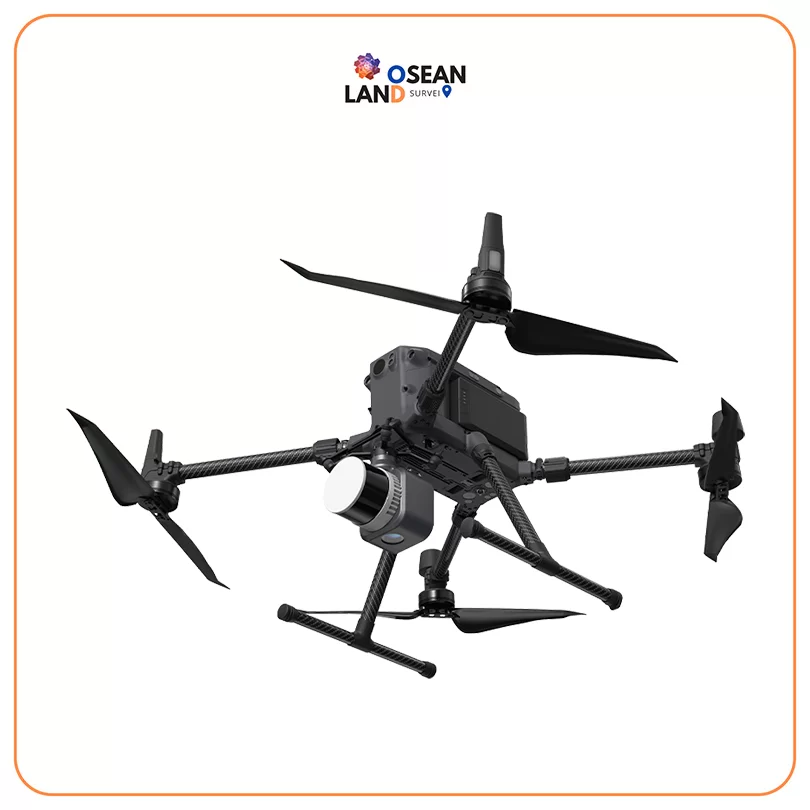
Rental DJI Matrice 300 + L1

Rental DJI Matrice 300 + L1

A commercial drone industry the matrice 300 RTK that takes inspiration from modern aviation systems.

View

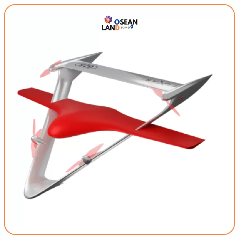
Fixar 025

Fixar 025

The FIXAR 025 is an autonomous full-electric drone designed to handle large-scale and long-range missions for commercial and industrial applications, such as mapping and inspections, aerial imaging, remote sensing, surveillance and monitoring, and more


View

Apus UAV LiDAR

Apus UAV LiDAR

The Apus represents the evolution of SatLab’s LiDAR solutions

View

All Filter

Sort by