Aerial & LiDAR

Geospasial

Marine & Hydrography

Pulsar Solution

Monitoring System

Agriculture & Precision Farming

Sensor Drone & Payload

UAV

Software

Integrated System

1745312764314

Disaster Migation

Mining

Infrastructure

Agriculture & Plantation

Marine & Water Resources

EPC & Industrial

Energy & Utilities

Sensor Drone & Payload

UAV

Software

Integrated System

1745312764314

Aerial & LiDAR

High-Speed 3D Mapping from Above

Cover vast terrain in a fraction of the time. Mount powerful LiDAR payloads onto airborne drones to penetrate dense vegetation, capture precise elevation models, and generate high-density point clouds for large-scale planning.

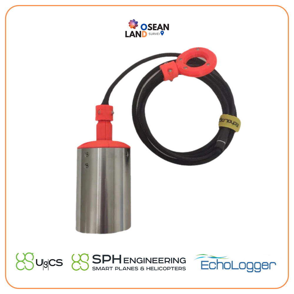
ECT D052S Dual Frequency

The EchoLogger ECT D052S is a dual-frequency echo sounder that comes with a tilt and temperature sensor, harness, housing, and mountings for the drone

View

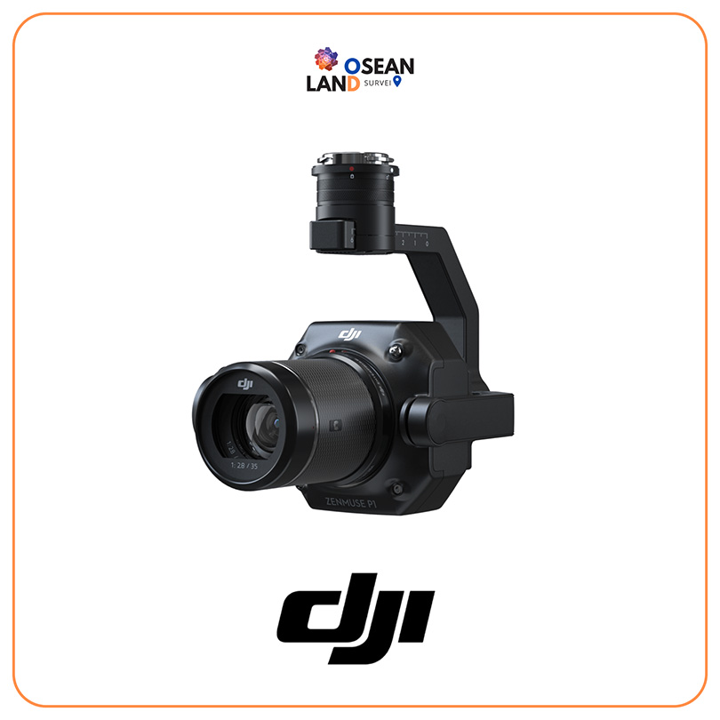
DJI Zenmuse P1

The Zenmuse P1 integrates a full-frame sensor with interchangeable fixed-focus lenses on a 3-axis stabilized gimbal

View

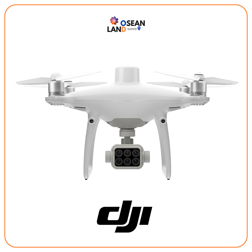
DJI Phantom 4 Multispectral

Gather precise plant-level data using the P4 Multispectral – a high-precision drone with a seamlessly integrated multispectral imaging system built for agriculture missions, environmental monitoring, and more

View

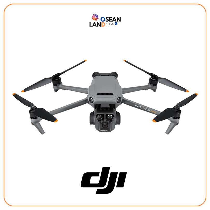
DJI Mavic 3 Enterprise

The Mavic 3 Enterprise Series redefines industry standards for small commercial drones

View

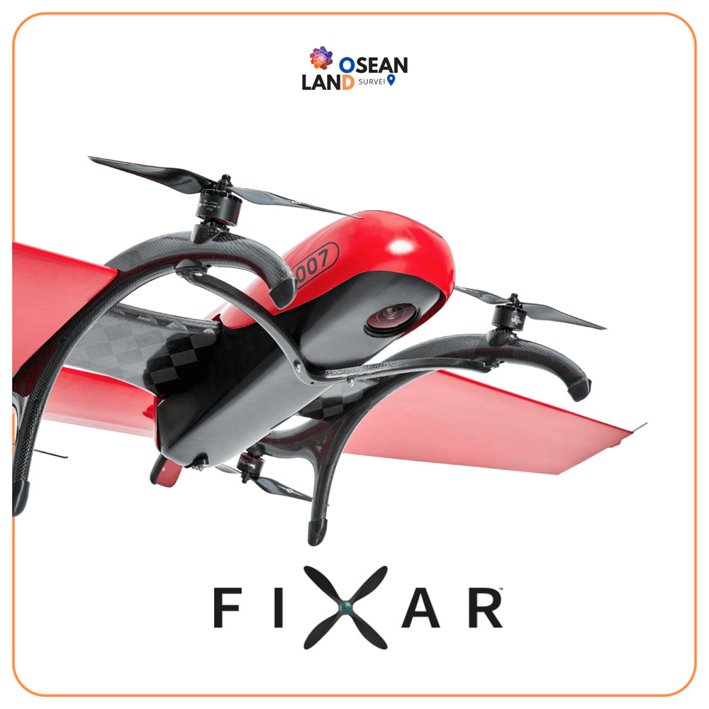
Fixar 007

FIXAR 007 is a fully autonomous, VTOL fixed-wing drone designed for drone mapping and inspections, aerial imaging, precision agriculture, oil and gas, surveillance, and monitoring

View

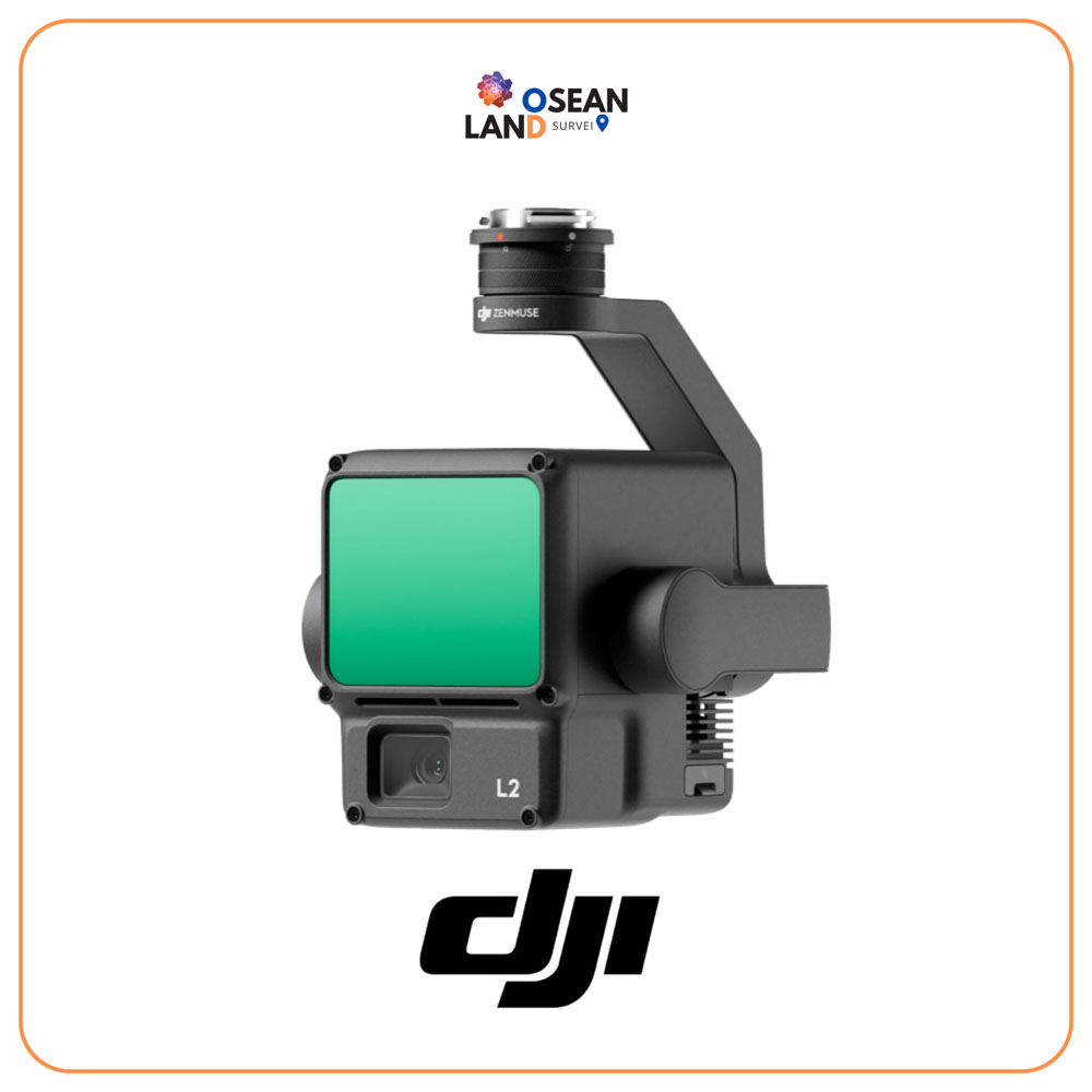
DJI Zenmuse L2

The Zenmuse L2 integrates frame LiDAR, a high-accuracy IMU system, and a 4/3 CMOS RGB mapping camera

View

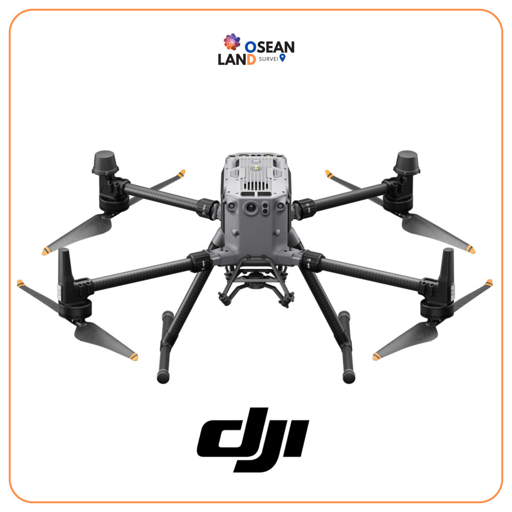
DJI Matrice 350 RTK

The Matrice 350 RTK is an upgraded flagship drone platform that sets a new benchmark for the industry

View

UgCS – Drone flight planning software

UgCS Drone Flight Planning and Control Software by SPH Engineering

View

All Filter

Sort by