Aerial & LiDAR

Geospasial

Marine & Hydrography

Pulsar Solution

Monitoring System

Agriculture & Precision Farming

Sensor Drone & Payload

UAV

Software

Integrated System

1745312764314

Disaster Migation

Mining

Infrastructure

Agriculture & Plantation

Marine & Water Resources

EPC & Industrial

Energy & Utilities

Sensor Drone & Payload

UAV

Software

Integrated System

1745312764314

Geospatial

Precision Data for Real-World Decisions

Transform raw location data into insights you can act on immediately. Integrate GPS, satellite imagery, and drone-captured data into unified geospatial models with survey-grade accuracy. Deliver GIS-ready maps and 3D models that power infrastructure, urban planning, and land management decisions.


Veripos Apex Correction Service

The VERIPOS Apex correction services deliver global, high-accuracy GNSS positioning designed to meet the requirements of all offshore positioning and navigation applications

View

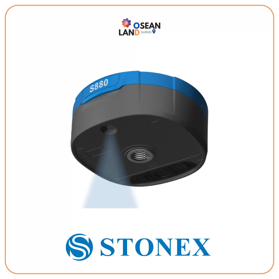
S880 GNSS receiver

S880 GNSS receiver

The S880 is a versatile and advanced GNSS receiver that caters to the needs of various applications, including surveying, mapping, and navigation. One of its key features is the integration of a bottom stakeout camera, which provides the operator with real-time visual assistance to identify the point to be staked out.

View

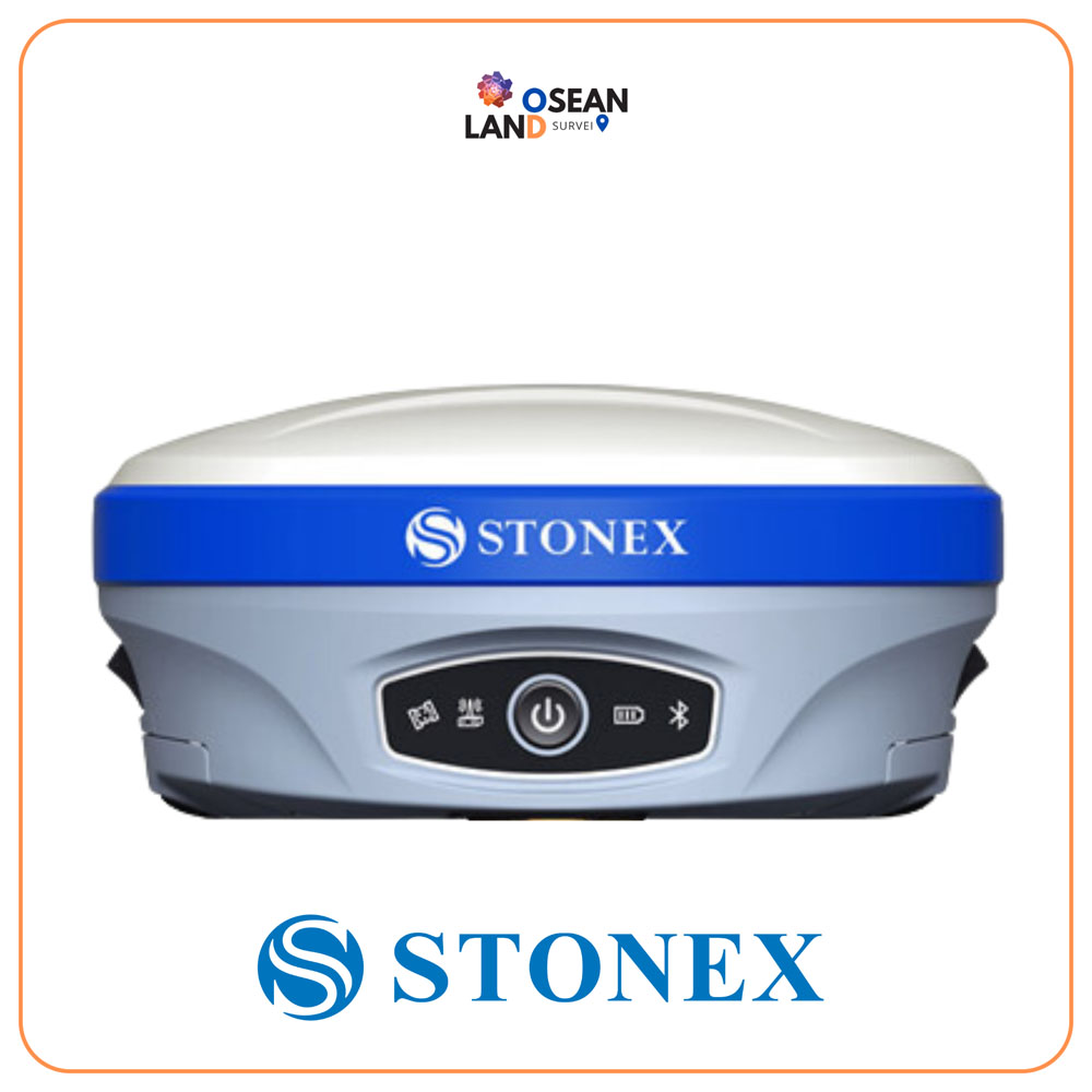
Stonex S900+

Stonex S900+ is equipped with a high-performance GNSS board with 1408 channels and can support multiple satellite constellations: GPS, GLONASS, BEIDOU, GALILEO and QZSS

View

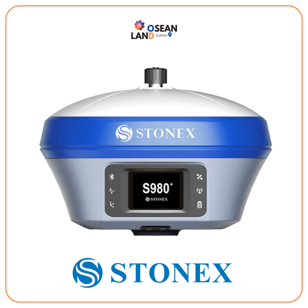
Stonex S980+

The color touch display and the ability to connect an external antenna make the S980+ an extremely effective receiver, capable of detecting GPS, GLONASS, BEIDOU, GALILEO and QZSS constellations, making it suitable for any job

View

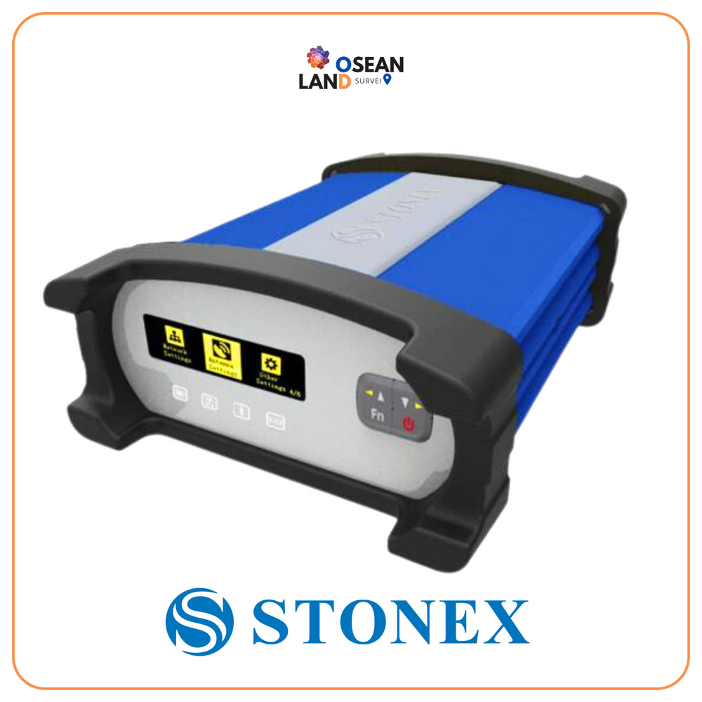
GNSS SC200

STONEX SC200 is typically used as an NTRIP server, and is the perfect equipment for many different jobs, based on the acquisition, the processing, the distribution and the management of GNSS correction data; moreover the SC200 supports raw data logging with up to 50Hz update rate

View

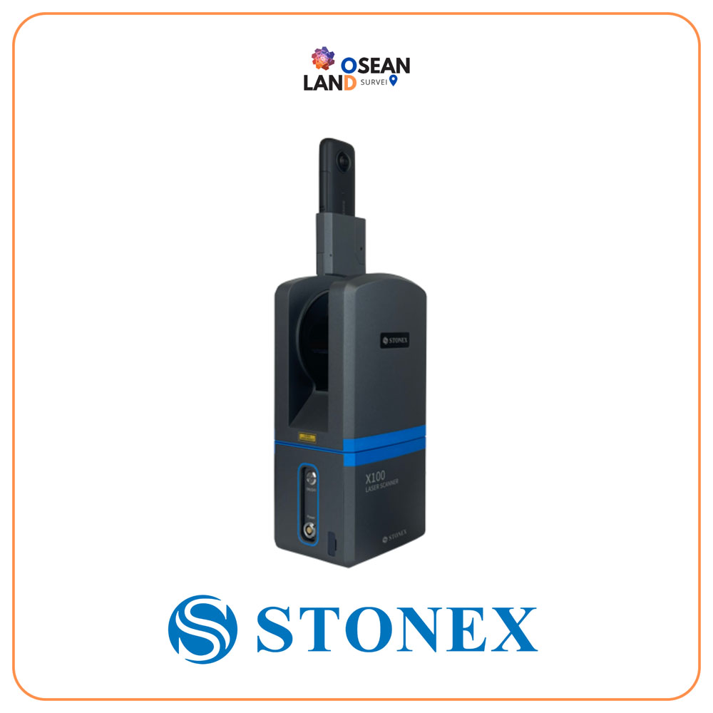
X100 Laser Scanner

X100 is a small and compact terrestrial laser scanner that is quick and easy to use

View

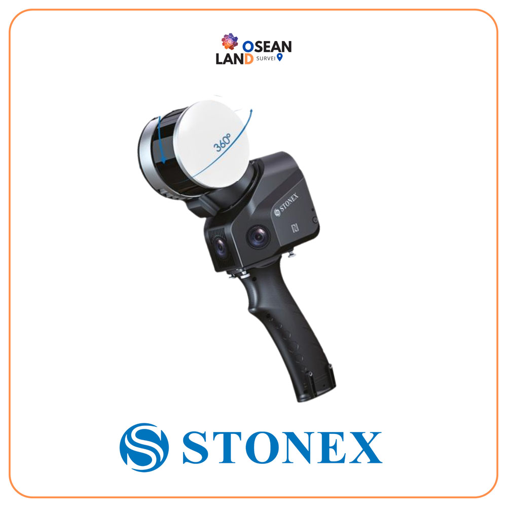
X120GO Laser Scanner

FIXAR 007 is a fully autonomous, VTOL fixed-wing drone designed for drone mapping and inspections, aerial imaging, precision agriculture, oil and gas, surveillance, and monitoring

View

R25/R25LR Total Station

High accuracy and long reflectorless range are the perfect combination that makes Stonex R25/R25LR the best friend of every professional surveyor

View

All Filter

Sort by