Aerial & LiDAR

Geospasial

Marine & Hydrography

Pulsar Solution

Monitoring System

Agriculture & Precision Farming

Sensor Drone & Payload

UAV

Software

Integrated System

1745312764314

Disaster Migation

Mining

Infrastructure

Agriculture & Plantation

Marine & Water Resources

EPC & Industrial

Energy & Utilities

Sensor Drone & Payload

UAV

Software

Integrated System

1745312764314

Integrated System

High-Speed 3D Mapping from Above

Cover vast terrain in a fraction of the time. Mount powerful LiDAR payloads onto airborne drones to penetrate dense vegetation, capture precise elevation models, and generate high-density point clouds for large-scale planning.
Radar Systems Zond Aero LF GPR

Radar Systems Zond Aero LF GPR

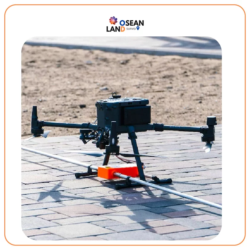
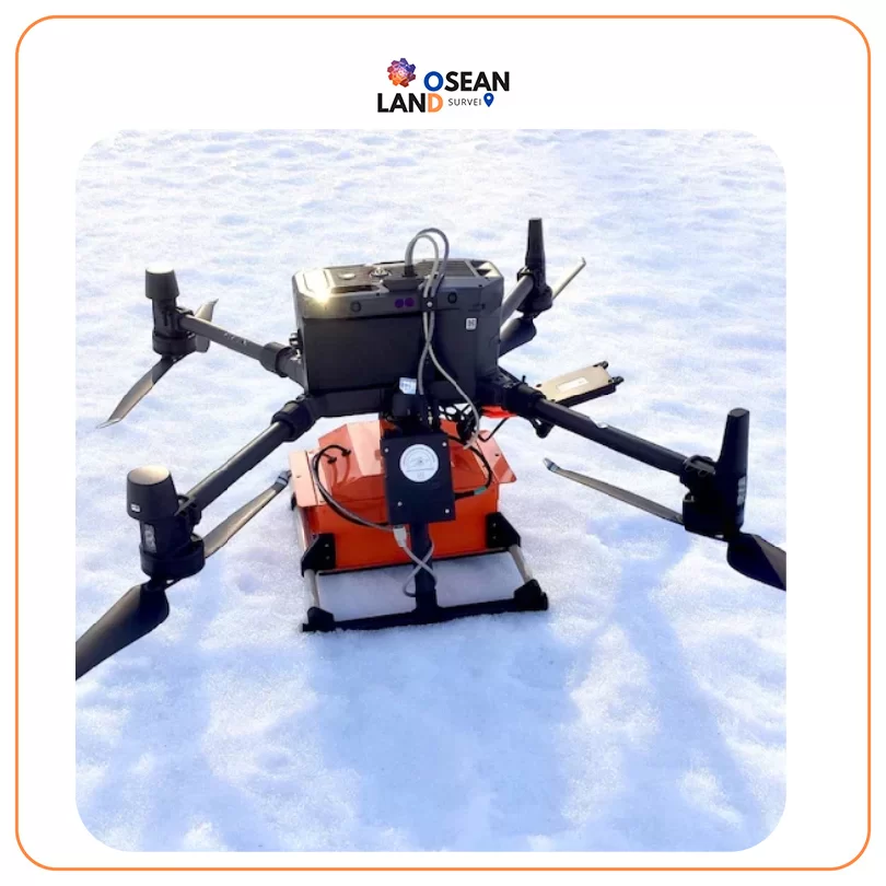
Extra-lightweight GPR system, suitable for medium-sized drones like DJI M300/M350 RTK

View

Radar Systems Zond Aero 500

Radar Systems Zond Aero 500

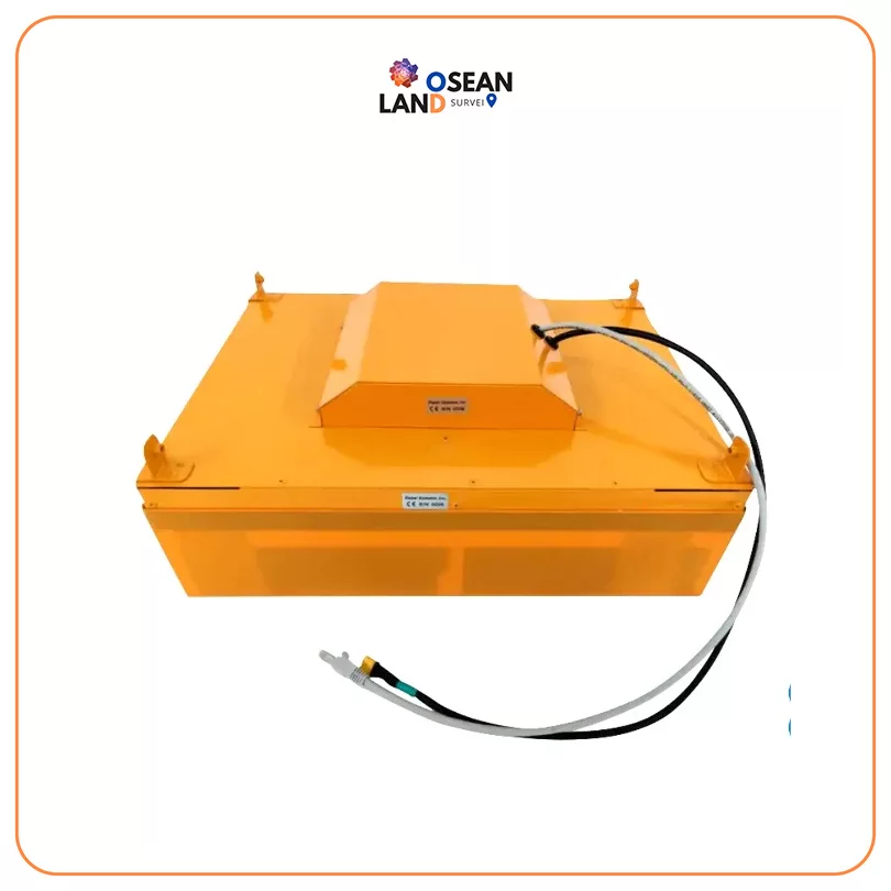
Lightweight GPR system, suitable for medium-sized drones like DJI M300 RTK

View

Radar Systems Zond Aero 1000 _NG_

Radar Systems Zond Aero 1000 “NG”

Lightweight GPR system, suitable for medium-sized drones like DJI M300/M350 RTK

View

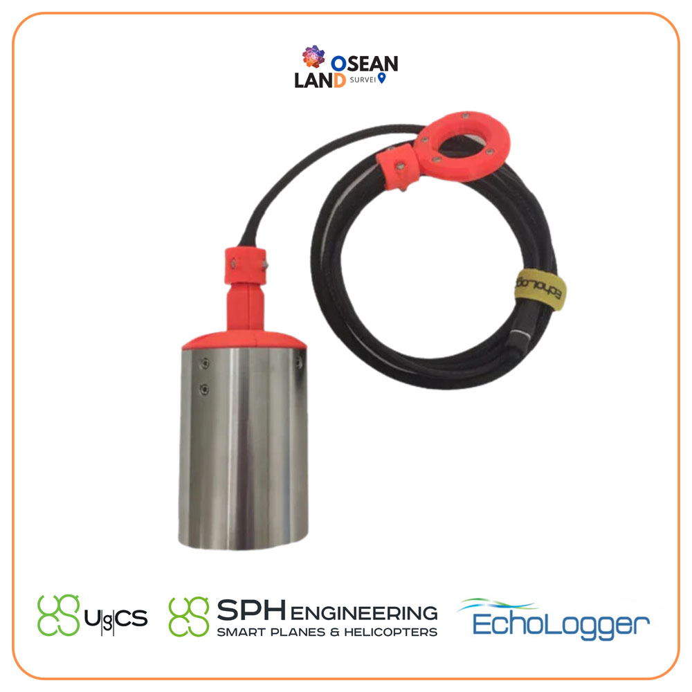
ECT D052S Dual Frequency

The EchoLogger ECT D052S is a dual-frequency echo sounder that comes with a tilt and temperature sensor, harness, housing, and mountings for the drone

View

UgCS Airborne GPR

The most important parameter of the GPR system is the center frequency

View

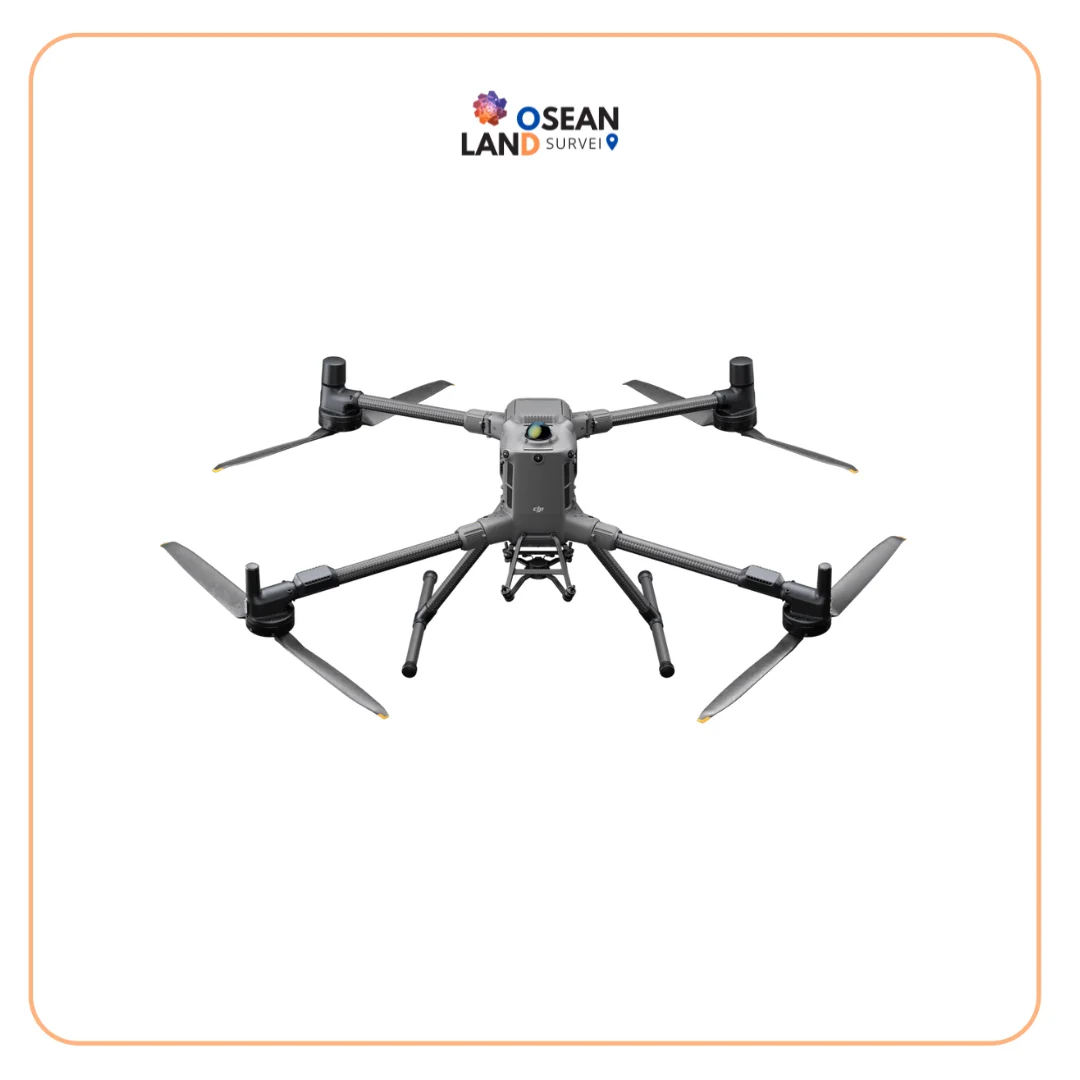
DJI Matrice 400

DJI Matrice 400

DJI Matrice 400 The DJI Matrice 400 is a next-generation enterprise drone

View

All Filter

Sort by