Aerial & LiDAR

Geospasial

Marine & Hydrography

Pulsar Solution

Monitoring System

Agriculture & Precision Farming

Sensor Drone & Payload

UAV

Software

Integrated System

1745312764314

Disaster Migation

Mining

Infrastructure

Agriculture & Plantation

Marine & Water Resources

EPC & Industrial

Energy & Utilities

Sensor Drone & Payload

UAV

Software

Integrated System

1745312764314

Level

Engineering the Future of Spatial Intelligence

Partner with a team that turns complex geospatial challenges into clear, actionable solutions. Combine cutting-edge drone technology, advanced sensors, and expert data processing under one integrated workflow. Deliver end-to-end mapping and monitoring solutions trusted across industries, from agriculture to infrastructure

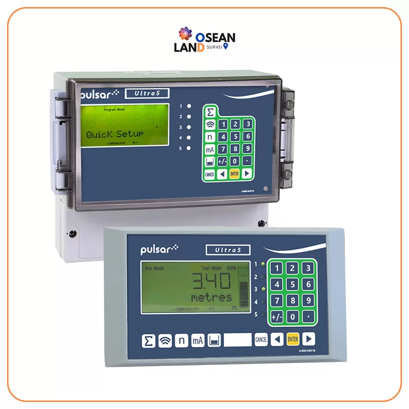
Ultra 5

Pulsar Ultra 5

The Ultra 5 offers pump control, flow measurement, level control, volume calculations, and differential level measurement all in one compact unit

View

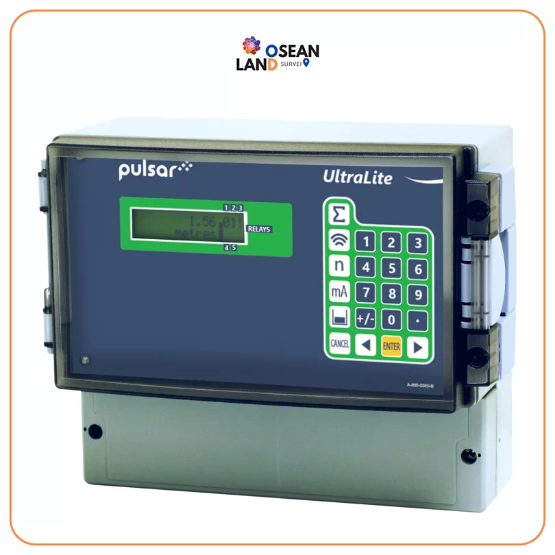
Ultra Lite

Pulsar Ultra Lite

Ultra Lite offers the ability to dedicate the functionality of the unit to any of three specific duties e

View

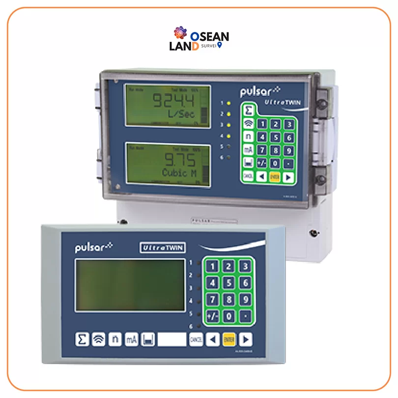
Ultra Twin

Pulsar Ultra Twin

UltraTWIN offers twin-channel differential level and volume monitoring

View

ISM 5.0 Electromagnetic Flow Meter

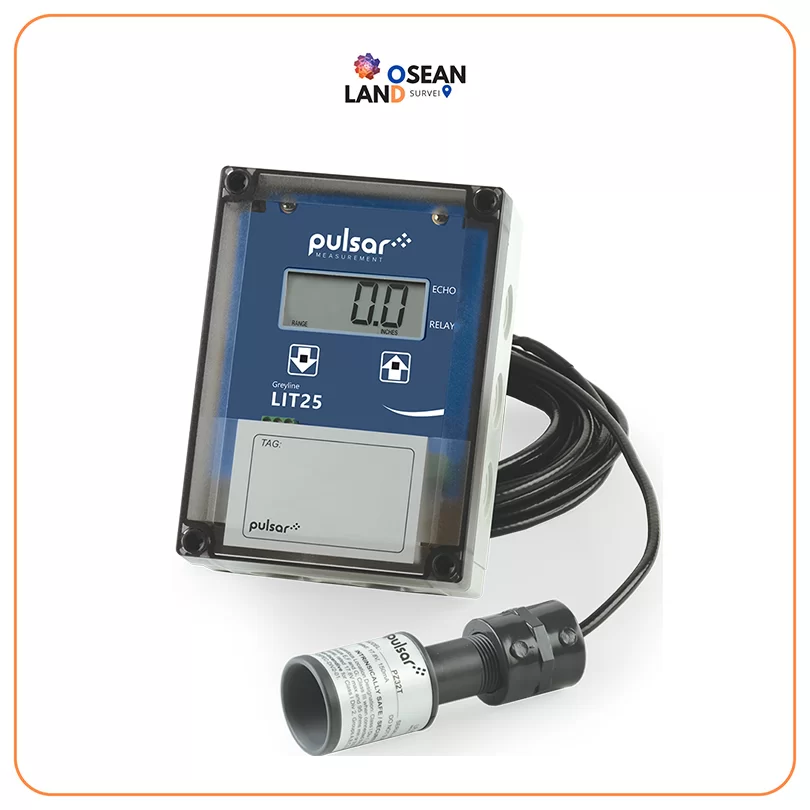
Pulsar LIT25

The LIT25 is a level indication sensor that displays, controls, and transmits level

View

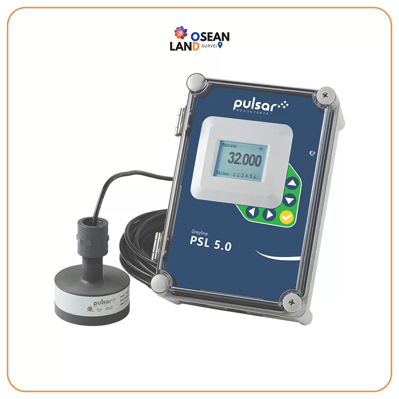
PSL 5.0

Pulsar PSL 5.0

The PSL 5

View

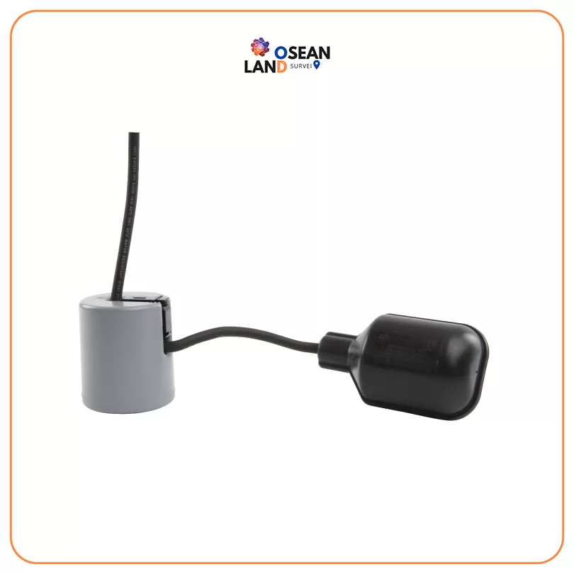
PulsarPoint 800 series

PulsarPoint 800 series

The PulsarPoint 800 series is designed for very reliable operation when controlling the level of non-potable water and sewage

View

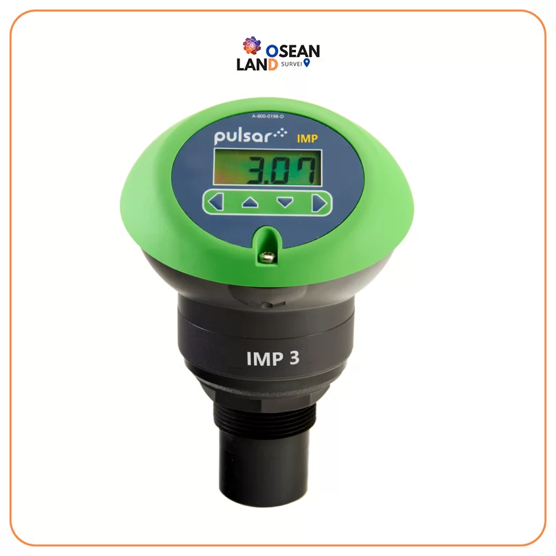
IMP

Pulsar IMP

The IMP range of non-contacting level sensors from Pulsar Measurement are designed to be used wherever you need an accurate and reliable level indication

View

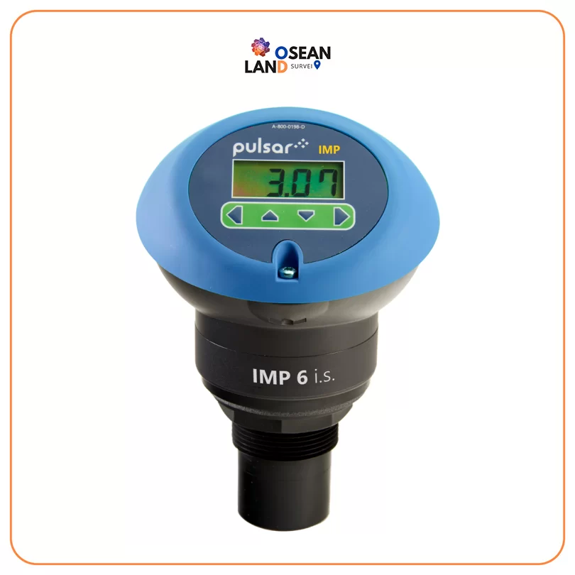
IMP IS

Pulsar IMP I.S.

The IMP range of level sensors feature a combined transducer and controller in one self-contained unit

View

All Filter

Sort by