Aerial & LiDAR

Geospasial

Marine & Hydrography

Pulsar Solution

Monitoring System

Agriculture & Precision Farming

Sensor Drone & Payload

UAV

Software

Integrated System

1745312764314

Disaster Migation

Mining

Infrastructure

Agriculture & Plantation

Marine & Water Resources

EPC & Industrial

Energy & Utilities

Sensor Drone & Payload

UAV

Software

Integrated System

1745312764314

Marine & Hydrography

Mapping the Depths with Unmatched Accuracy

Chart underwater terrain that was once impossible to survey efficiently. Combine multibeam sonar and bathymetric LiDAR systems to capture seabed contours, water depth, and coastal changes with centimeter-level precision. Produce nautical-grade hydrographic charts essential for port development, dredging, and marine safety.

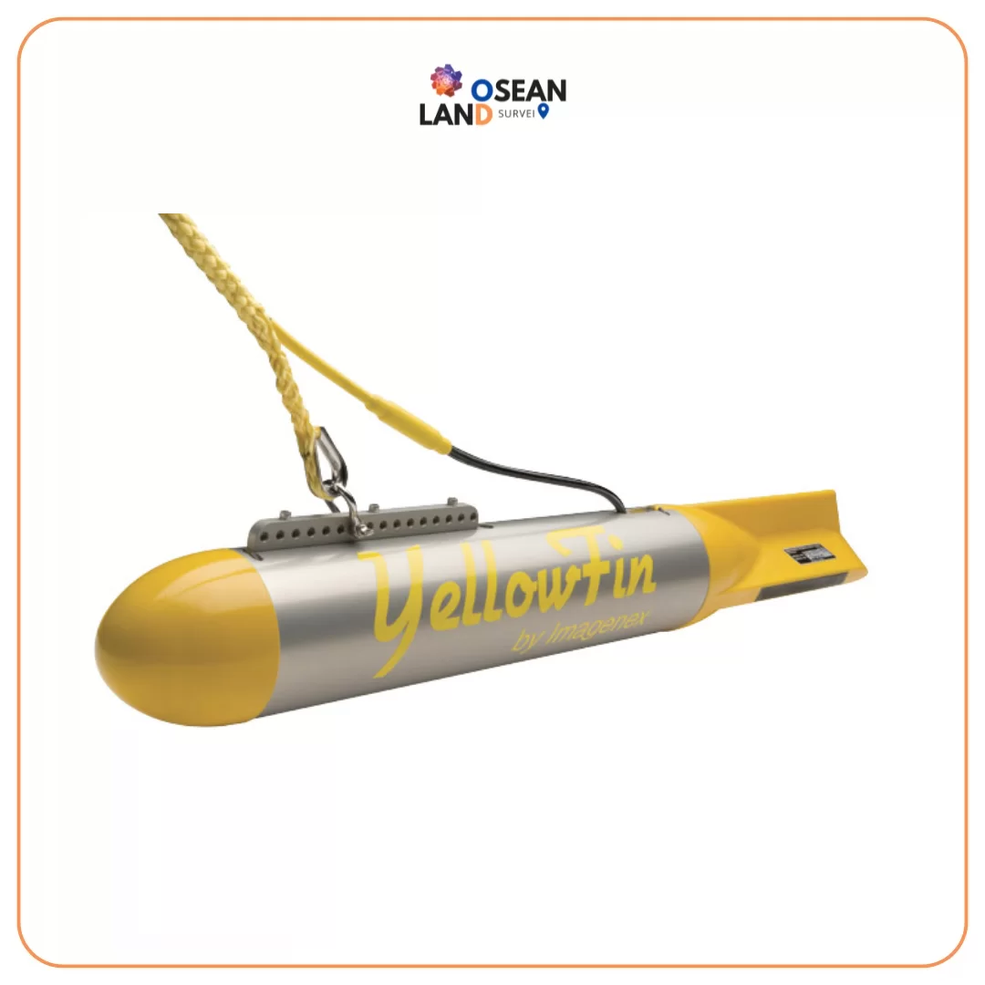
YellowFin

Imagenex Model 872 “YellowFin” Sidescan Sonar

The Imagenex Model 872 “YellowFin” is a full-featured dual channel, high resolution, sidescan sonar

View

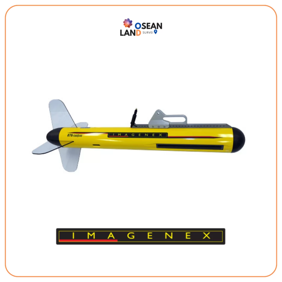
Imagenex Model _878_ Sidescan Sonar

Imagenex Model “878” Sidescan Sonar

The Imagenex Model 878 Sidescan Sonar is the next generation in high resolution sidescan sonar

View

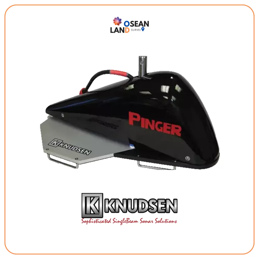
Pinger Sub Bottom Profiler

Pinger Sub Bottom Profiler

Pinger is designed specifically for shallow water sub bottom profiling (as shallow as 4m and up to 300m in ideal conditions) and is intended for a simple over the side pole mount installation

View

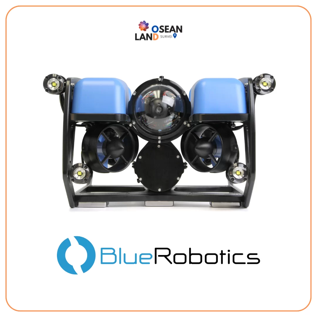
BlueROV2

BlueROV2

The Blue Robotics BlueROV2 is the world’s most affordable high-performance ROV

View

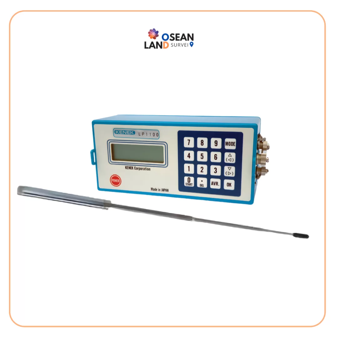
Digital Electromagnet Current Meter LP1100_LPT-200-09PS_LPT-500-25F

Digital Electromagnet Current Meter LP1100/LPT-200-09PS/LPT-500-25F

The Kenek Current Meter is engineered for professionals who demand reliable, accurate, and efficient flow measurement in any field environment

View

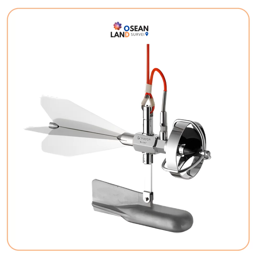
Current Meters UC-200V _ UC-300V

Current Meters UC-200V / UC-300V

A current meter is an equipment which measures the speed of water flow

View

TOTIS Software ver 1.65

TOTIS Software ver 1.65

Total Tide Solution for Modern Hydrographic Operations TOTIS (Total Tide Solution) is a powerful, IHO-compliant tidal processing software designed to deliver highly accurate tidal analysis and prediction for professional hydrographic, coastal engineering, and maritime applications

View

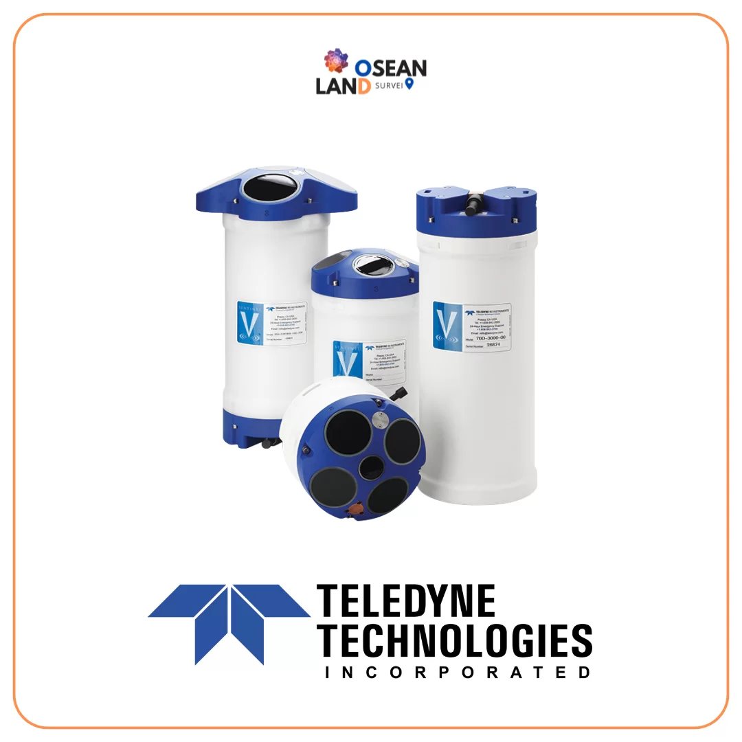
Teledyne Sentinel V

Sentinel V

Teledyne RD Instruments (TRDI) is continually committed to providing advanced technology solutions whilst maintaining the highest levels of service and support for our customers

View

All Filter

Sort by