Aerial & LiDAR

Geospasial

Marine & Hydrography

Pulsar Solution

Monitoring System

Agriculture & Precision Farming

Sensor Drone & Payload

UAV

Software

Integrated System

1745312764314

Disaster Migation

Mining

Infrastructure

Agriculture & Plantation

Marine & Water Resources

EPC & Industrial

Energy & Utilities

Sensor Drone & Payload

UAV

Software

Integrated System

1745312764314

Sensor Drone & Payload

High-Speed 3D Mapping from Above

Cover vast terrain in a fraction of the time. Mount powerful LiDAR payloads onto airborne drones to penetrate dense vegetation, capture precise elevation models, and generate high-density point clouds for large-scale planning.

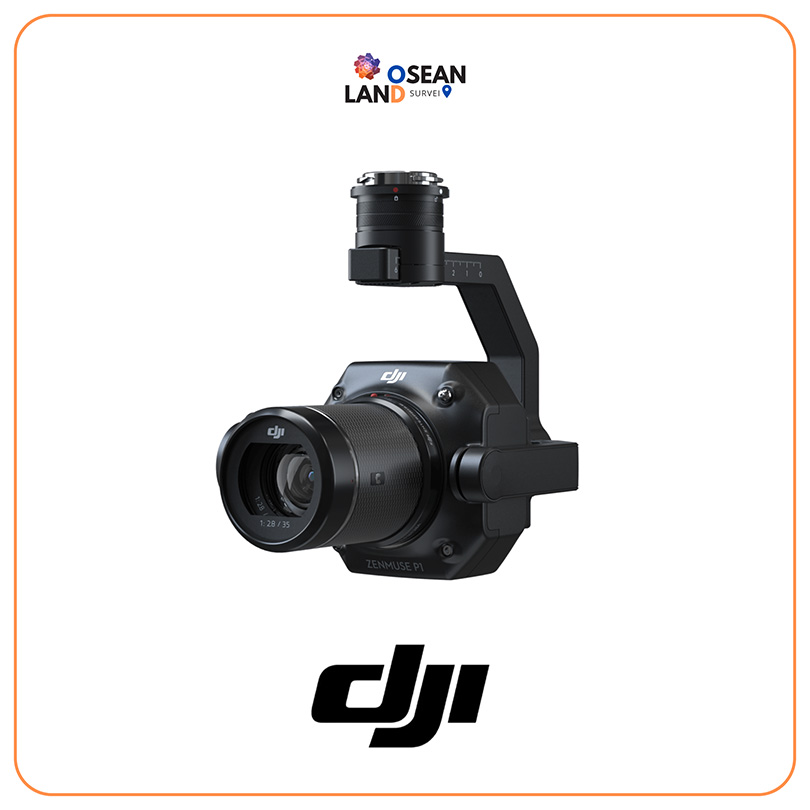
DJI Zenmuse P1

The Zenmuse P1 integrates a full-frame sensor with interchangeable fixed-focus lenses on a 3-axis stabilized gimbal

View

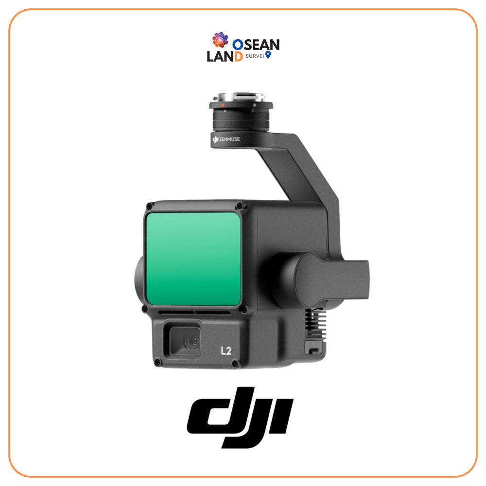
DJI Zenmuse L2

The Zenmuse L2 integrates frame LiDAR, a high-accuracy IMU system, and a 4/3 CMOS RGB mapping camera

View

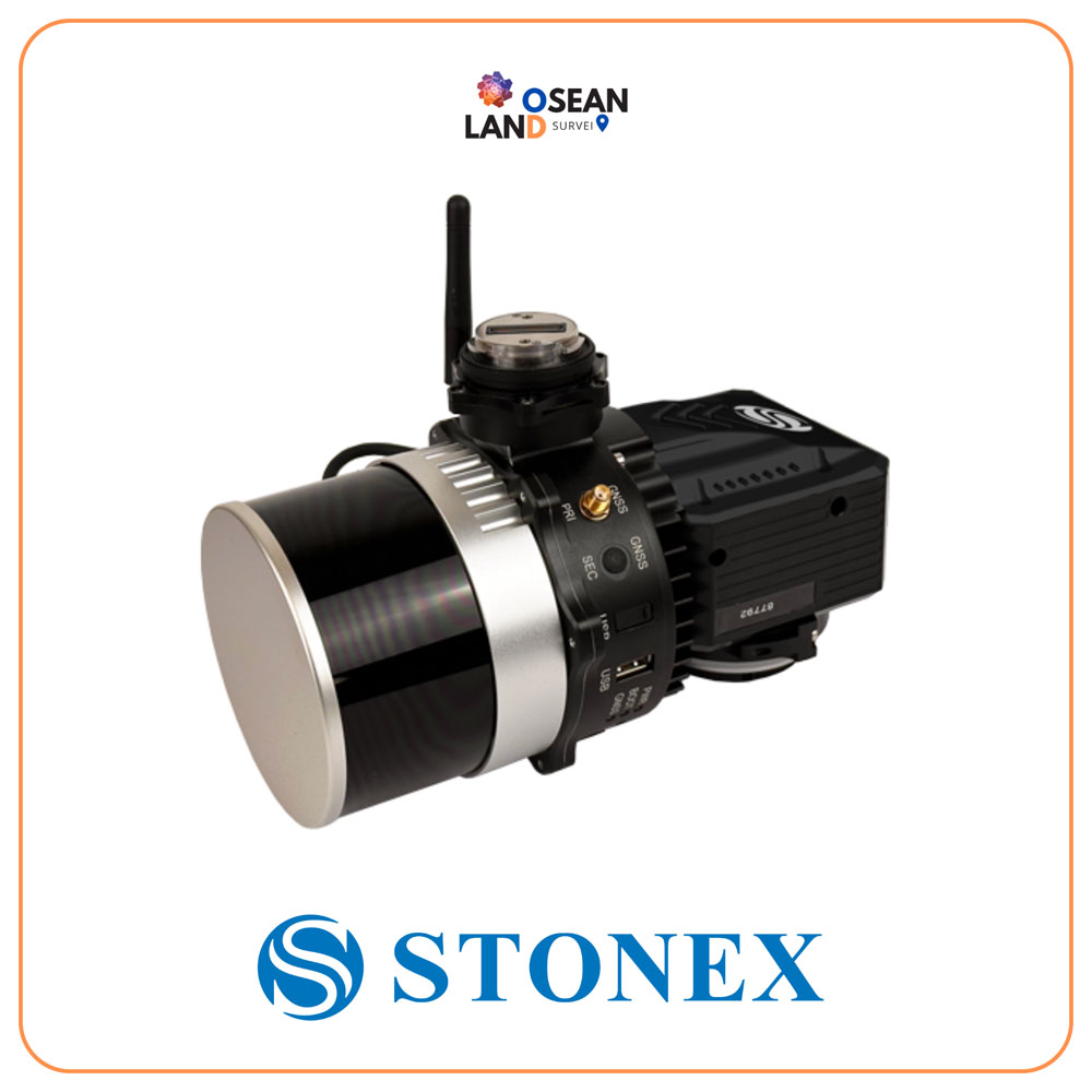
XFly LiDAR Solution

The XFLY series combines an advanced Inertial Navigation System with a camera and LiDAR to generate point clouds

View

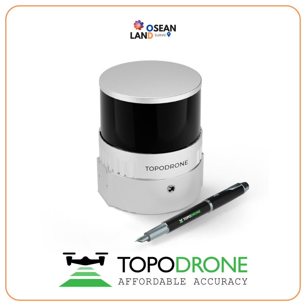
Topodrone 200+

The Hesai XT32M2X laser scanner has a working range of 300 meters and a working flight altitude of 200 meters

View

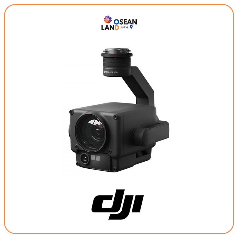
DJI Zenmuse H20

Multi-sensor payloads that bring a whole new meaning to mission efficiency

View

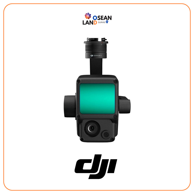
DJI Zenmuse L1

The Zenmuse L1 integrates a Livox Lidar module, a high-accuracy IMU, and a camera with a 1-inch CMOS on a 3-axis stabilized gimbal

View

All Filter

Sort by