Aerial & LiDAR

Geospasial

Marine & Hydrography

Pulsar Solution

Monitoring System

Agriculture & Precision Farming

Sensor Drone & Payload

UAV

Software

Integrated System

1745312764314

Disaster Migation

Mining

Infrastructure

Agriculture & Plantation

Marine & Water Resources

EPC & Industrial

Energy & Utilities

Sensor Drone & Payload

UAV

Software

Integrated System
1745312764314

Total Stations

Precision Data for Real-World Decisions

Transform raw location data into insights you can act on immediately. Integrate GPS, satellite imagery, and drone-captured data into unified geospatial models with survey-grade accuracy. Deliver GIS-ready maps and 3D models that power infrastructure, urban planning, and land management decisions.

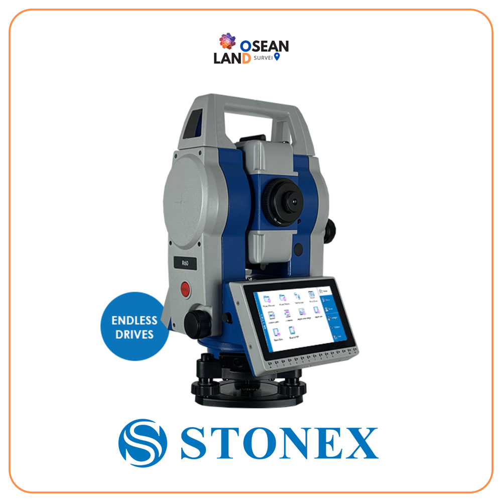
R60 Total Station

The R60 is a device with a 5

View

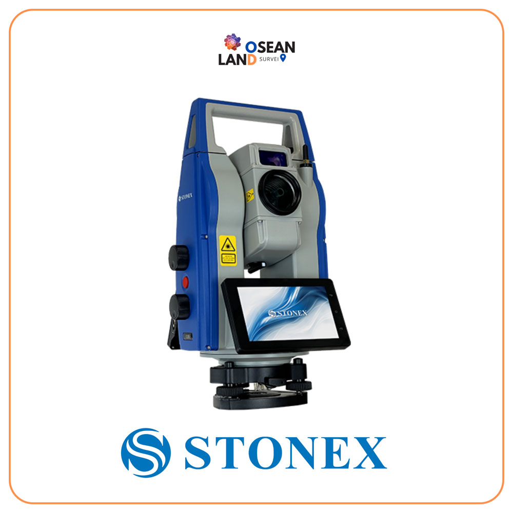
R180 Robotic Total Station

The R180 is a highly accurate and fast Android robotic station

View

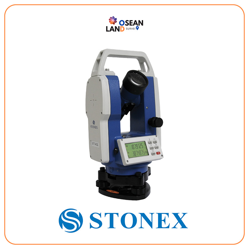
STT402L THEODOLITE

STT402L offers the opportunity to challenge high-precision monitoring and engineering works.

View

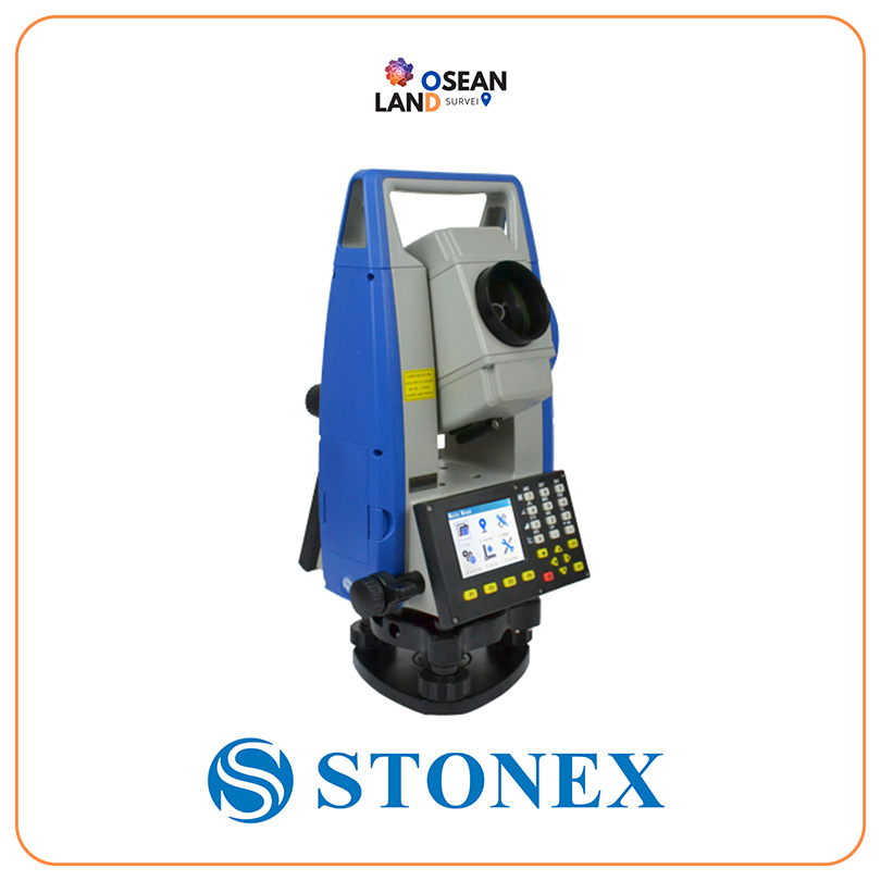
R20 Total Station

R20 TOTAL STATION

The R20 range is composed of 3 versions

View

All Filter

Sort by