Aerial & LiDAR

Geospasial

Marine & Hydrography

Pulsar Solution

Monitoring System

Agriculture & Precision Farming

Sensor Drone & Payload

UAV

Software

Integrated System

1745312764314

Disaster Migation

Mining

Infrastructure

Agriculture & Plantation

Marine & Water Resources

EPC & Industrial

Energy & Utilities

Sensor Drone & Payload

UAV

Software

Integrated System

1745312764314

Aerial & LiDAR

High-Speed 3D Mapping from Above

Cover vast terrain in a fraction of the time. Mount powerful LiDAR payloads onto airborne drones to penetrate dense vegetation, capture precise elevation models, and generate high-density point clouds for large-scale planning.
Sensys R1

Sensys R1

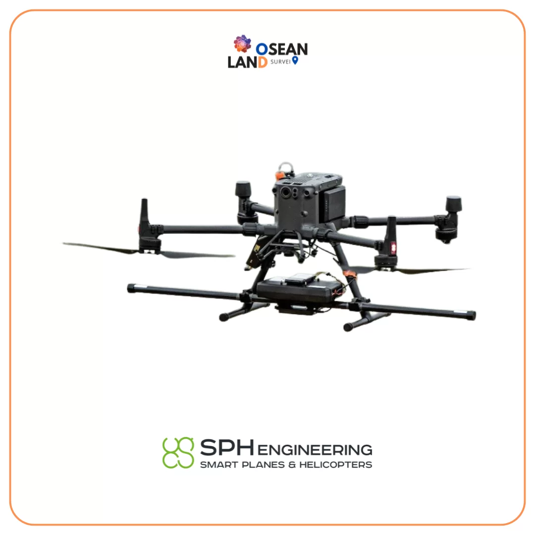
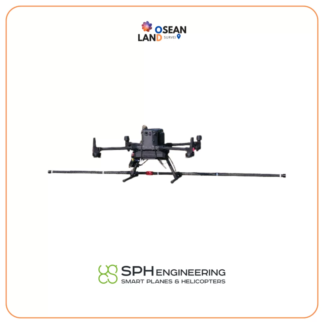
The MagDrone R1 is an ultra portable magnetometer to be attached to any UAV with a minimum payload of 1kg

View

Sensys R3

Sensys R3

The MagDrone R3 is an ultra portable magnetometer to be attached to any UAV with a minimum payload of 1kg

View

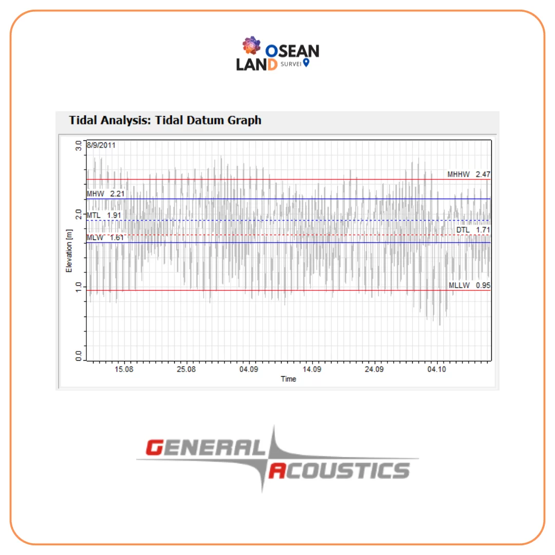
Tide Analysis & Prediction Software

Tide Analysis & Prediction Software

Tide Prediction & Tidal Analysis Software TidePredictor is a complete, powerful and userfriendly tool

View

Sensys R4

Sensys R4

The MagDrone R4 is an ultra light weight magnetometer with 5 triaxial Fluxgates to be attached to any UAV capable to carry 2 kg of payload

View

SG130

SG130

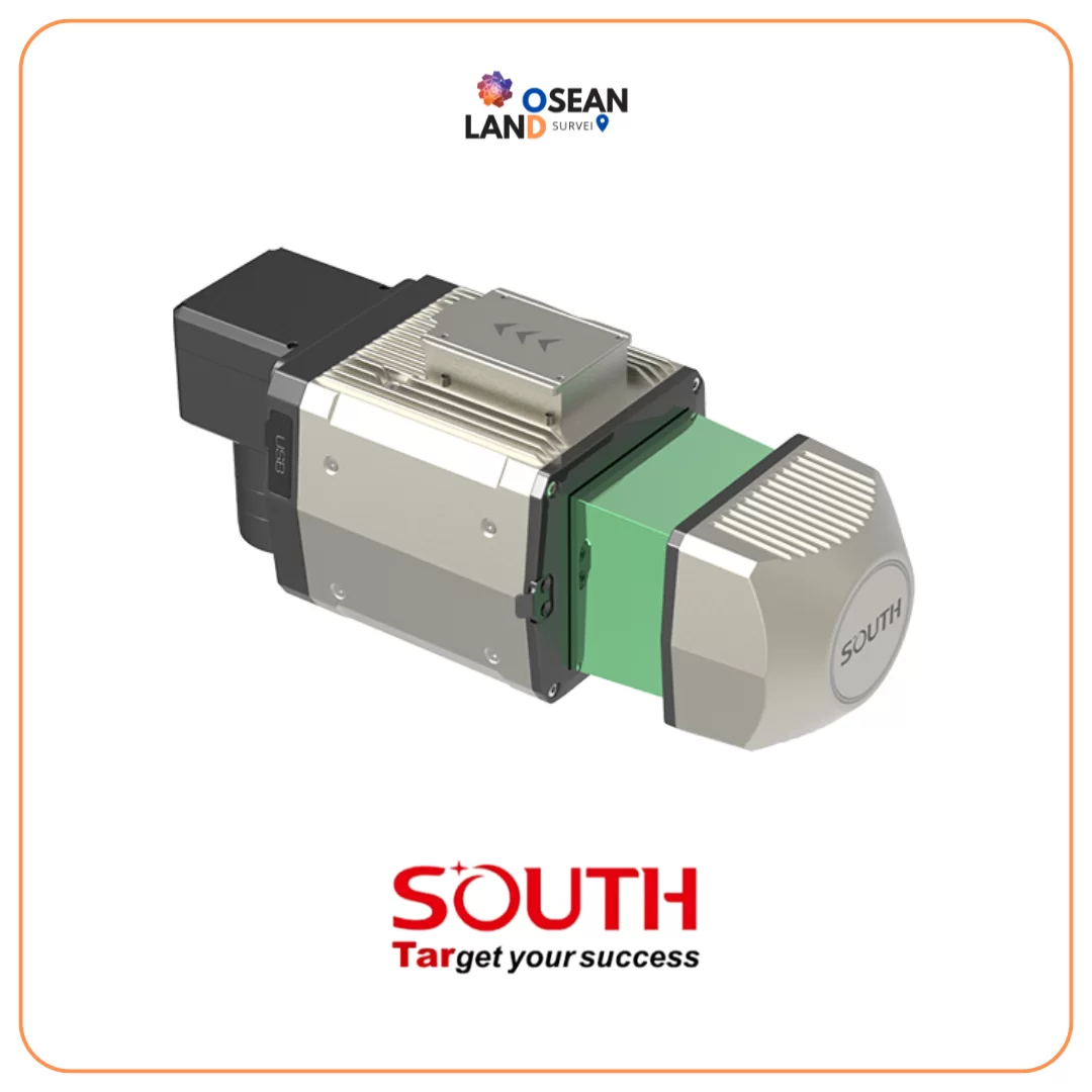
SG130 is a multi-platform LiDAR system that combines high-resolution laser scanning and precise positional data to collect geo-referenced point cloud, which is particularly designed for geospatial survey scanning from air to ground

View

SOUTH DIVERSO

DIVERSO

South is a leading-edge UAV solution equipped with VTOL (Vertical Take-Off and Landing) technology, designed to meet the demanding requirements of large-area surveying and mapping missions

View

SOUTH RAPIDO

RAPIDO

South is a leading-edge UAV solution equipped with VTOL (Vertical Take-Off and Landing) technology, designed to meet the demanding requirements of large-area surveying and mapping missions

View

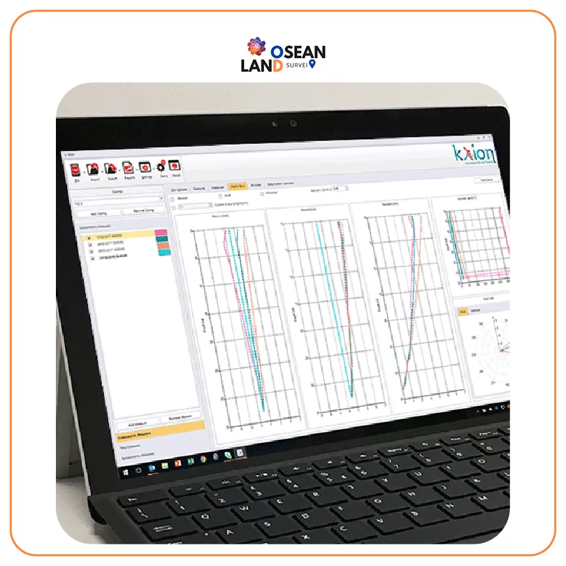
KLION software for inclinometers and extensometers

KLION software for inclinometers and extensometers

KLION is a powerful desktop software designed to manage vertical/horizontal inclinometer and T-Rex extensometer surveys

View

All Filter

Sort by