Aerial & LiDAR

Geospasial

Marine & Hydrography

Pulsar Solution

Monitoring System

Agriculture & Precision Farming

Sensor Drone & Payload

UAV

Software

Integrated System

1745312764314

Disaster Migation

Mining

Infrastructure

Agriculture & Plantation

Marine & Water Resources

EPC & Industrial

Energy & Utilities

Sensor Drone & Payload

UAV

Software

Integrated System

1745312764314

Aerial & LiDAR

High-Speed 3D Mapping from Above

Cover vast terrain in a fraction of the time. Mount powerful LiDAR payloads onto airborne drones to penetrate dense vegetation, capture precise elevation models, and generate high-density point clouds for large-scale planning.
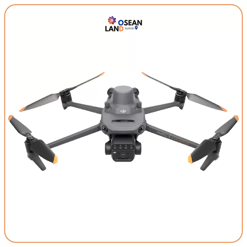
DJI Mavic 3 Multispectral

DJI Mavic 3 M

Mavic 3M allows terrain-follow aerial surveying of orchards, even on sloped landscapes

View

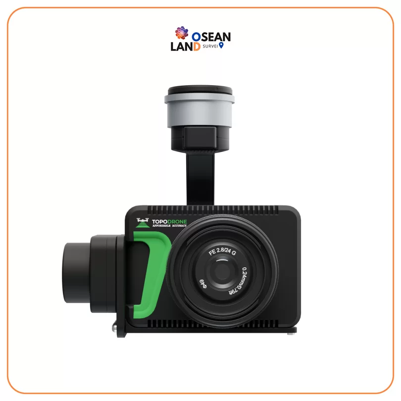
Topodrone P61 +PPK

Topodrone P61 +PPK

Professional modified camera with TOPODRONE LiDAR support and 61MP resolution, full frame sensor, mechanical shutter, ISO 100-25600, 20 mm lens, weighs 450 g

View

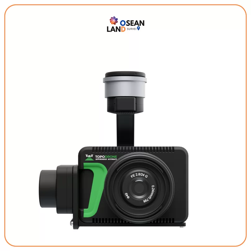
Topodrone P24 +PPK

Topodrone P24 +PPK

Professional modified camera with TOPODRONE LiDAR support and 61MP resolution, full frame sensor, mechanical shutter, ISO 100-25600, 20 mm lens, weighs 450 g

View

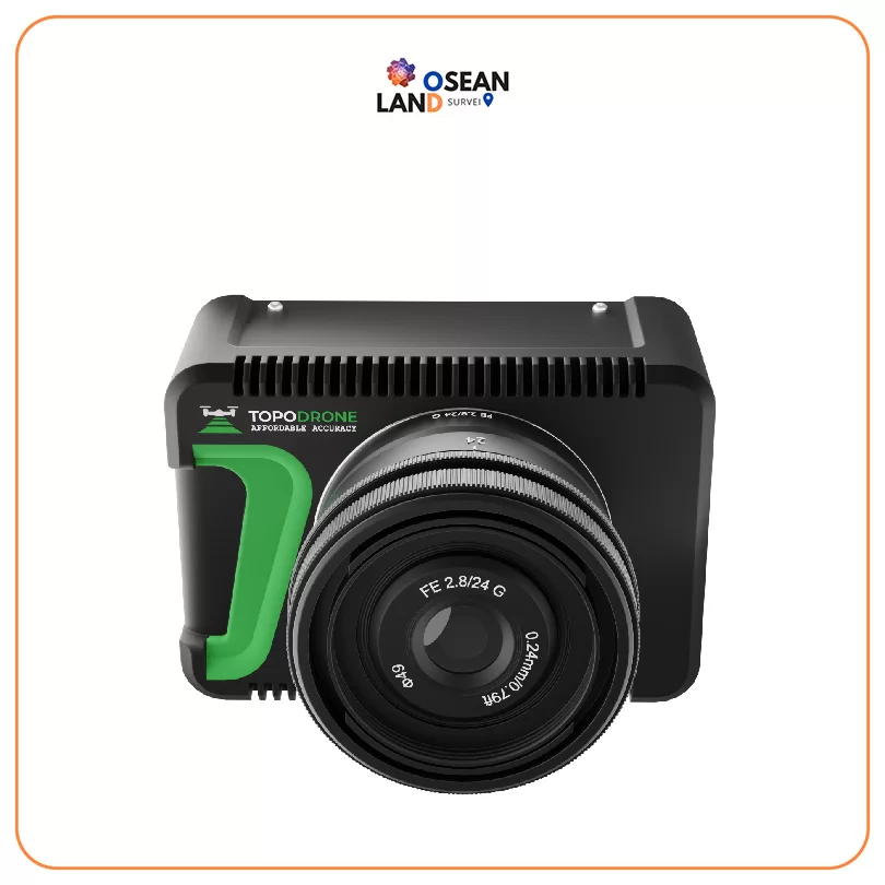
Topodrone P24

Topodrone P24

Professional modified camera with TOPODRONE LiDAR support and 24 Mp resolution, full frame sensor, mechanical shutter, ISO 100-25600, 16 mm lens, weighs 450 g

View

Terrastar Correction Service

Superior GNSS reference stations, redundant system architecture and continuous quality monitoring contribute to an exceptional service that is available anytime, anywhere

View

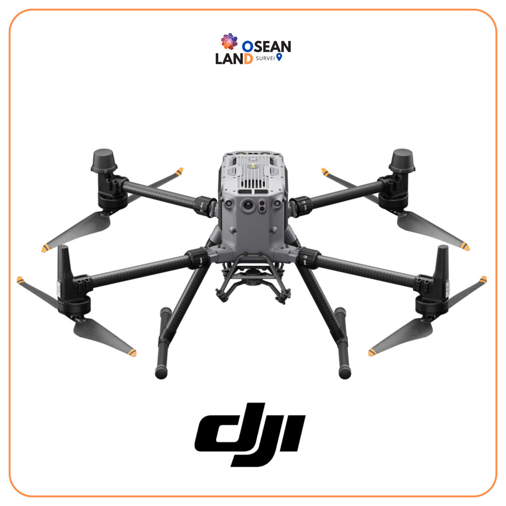
DJI Matrice 350 RTK

The Matrice 350 RTK is an upgraded flagship drone platform that sets a new benchmark for the industry

View

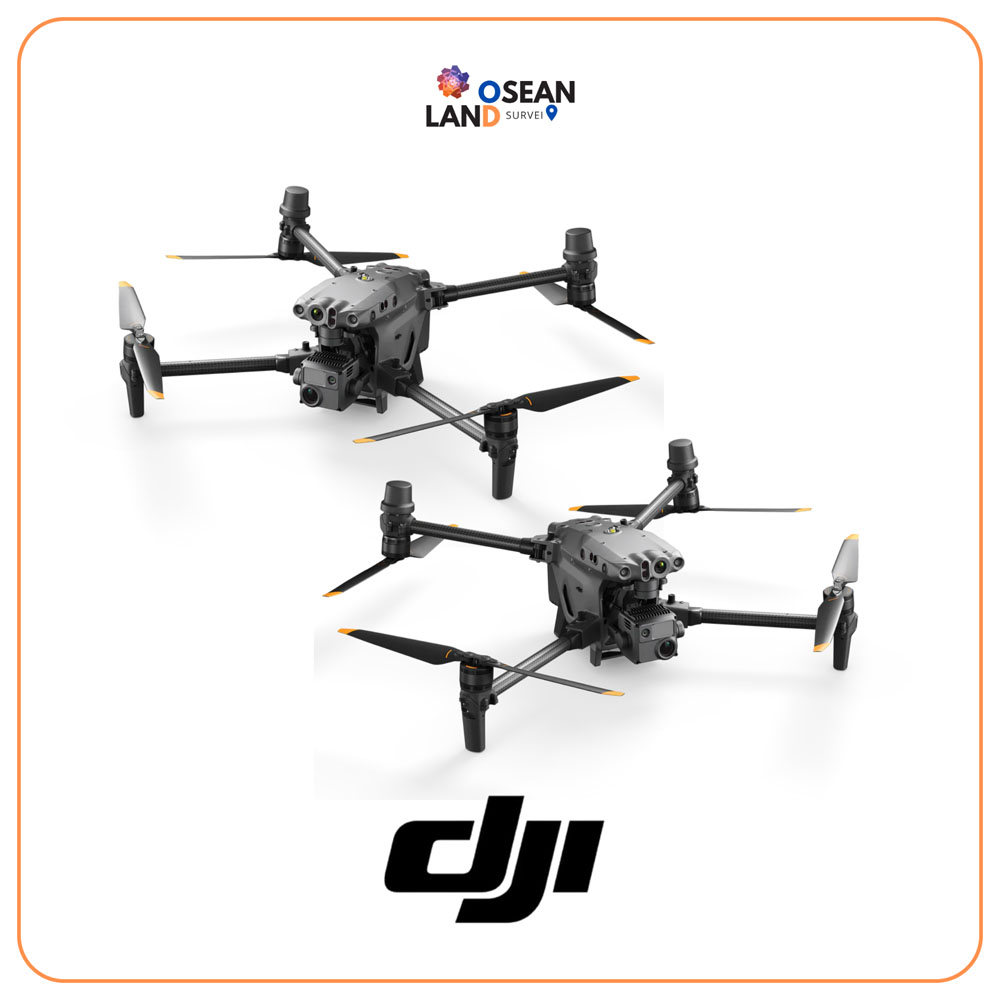
DJI Matrice 30 Series

The M30 offers a balance of power and portability, resulting in higher operational efficiency

View

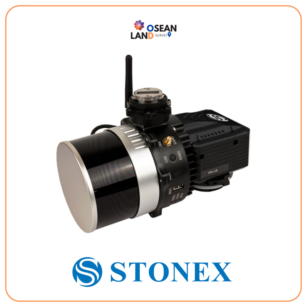
XFly LiDAR Solution

The XFLY series combines an advanced Inertial Navigation System with a camera and LiDAR to generate point clouds

View

All Filter

Sort by