Aerial & LiDAR

Geospasial

Marine & Hydrography

Pulsar Solution

Monitoring System

Agriculture & Precision Farming

Sensor Drone & Payload

UAV

Software

Integrated System

1745312764314

Disaster Migation

Mining

Infrastructure

Agriculture & Plantation

Marine & Water Resources

EPC & Industrial

Energy & Utilities

Sensor Drone & Payload

UAV

Software

Integrated System

1745312764314

Marine & Hydrography

Mapping the Depths with Unmatched Accuracy

Chart underwater terrain that was once impossible to survey efficiently. Combine multibeam sonar and bathymetric LiDAR systems to capture seabed contours, water depth, and coastal changes with centimeter-level precision. Produce nautical-grade hydrographic charts essential for port development, dredging, and marine safety.


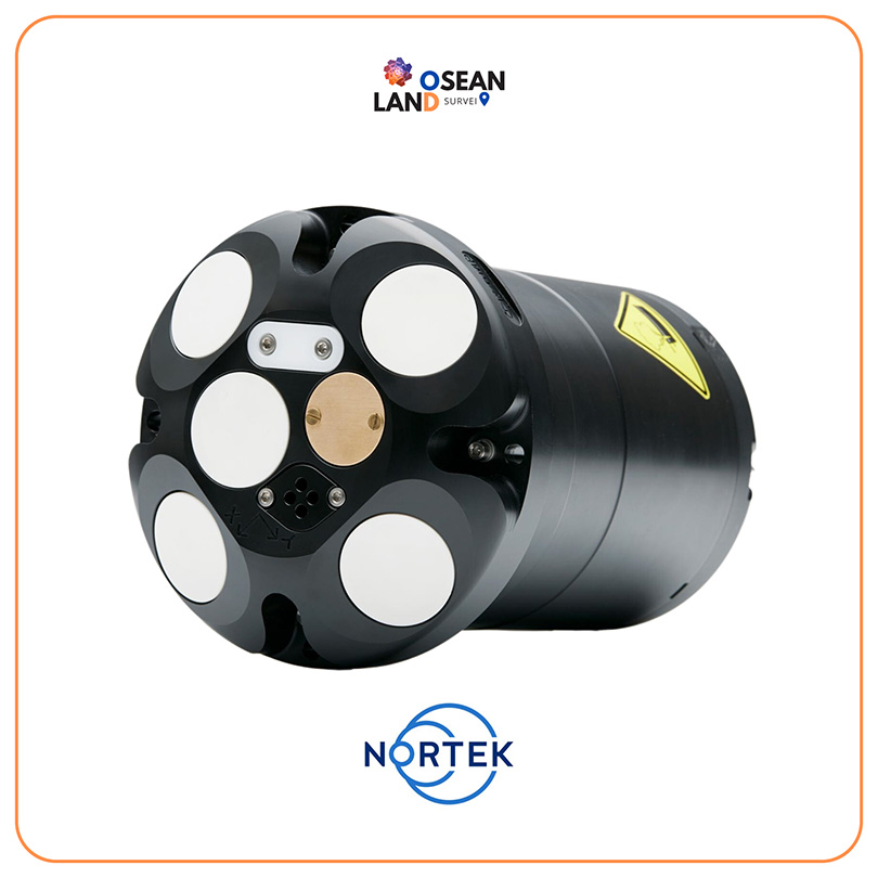
Nortek Signature1000 | Signature500

Nortek’s Signature1000 and Signature500 five-beam AD2CPs introduce a scientific powerhouse to the research community

View

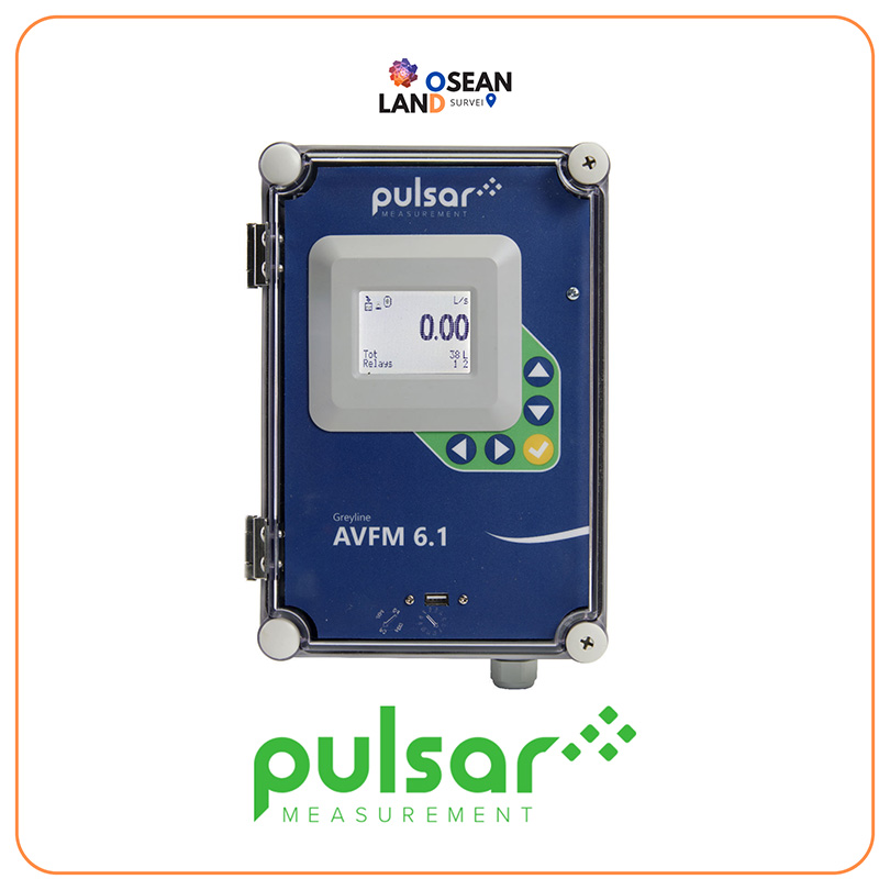
AVFM 6.1 Area Velocity

The Area Velocity Flow Measurement method is the most common method of all flow measurements

View

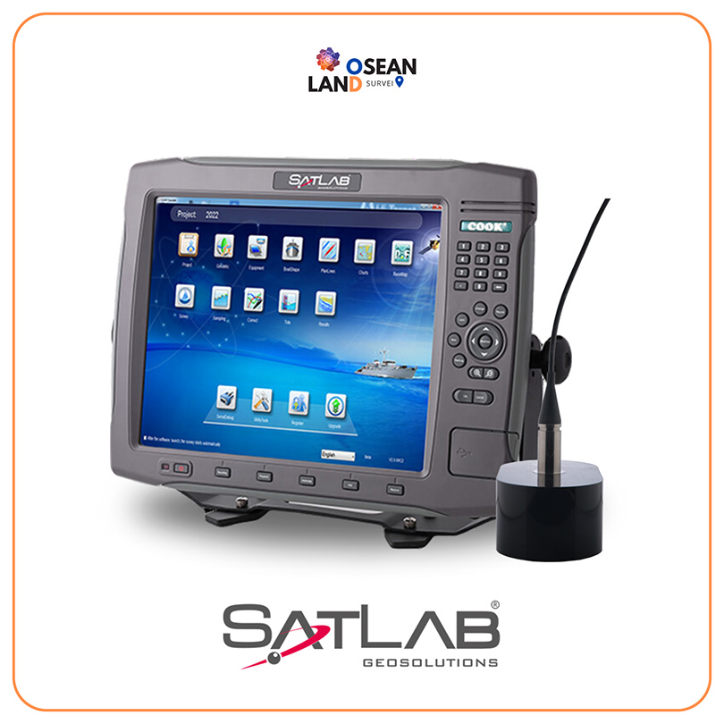
Satlab – ES-224 Dual-frequency Echo Sounder

ES-224 dual-frequency echo sounder is widely used in sediment measurement for dredging and other water depth measurement projects in shallow water, deep water, and high sandy water

View

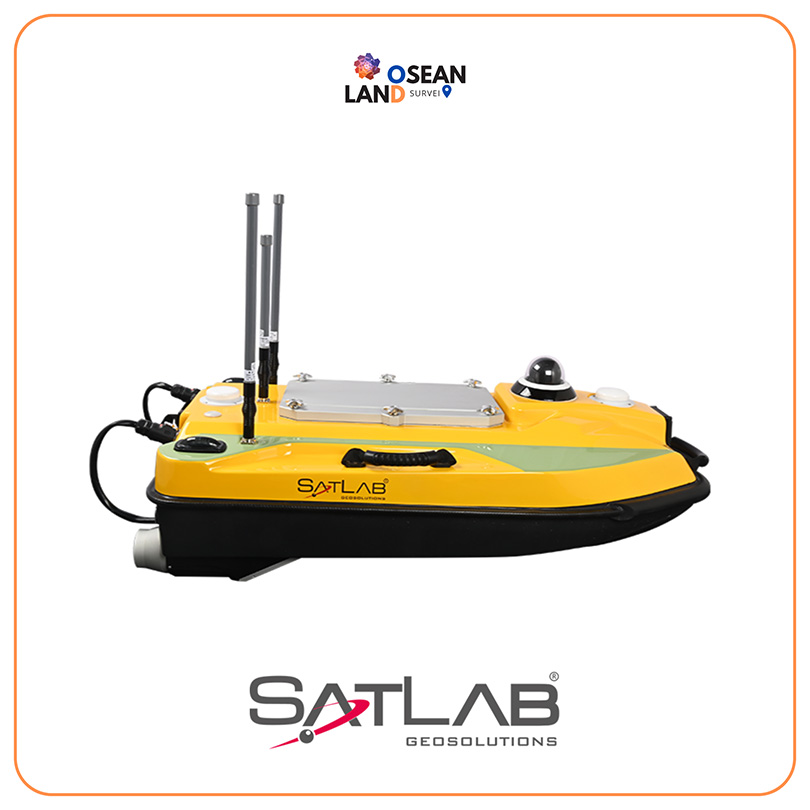
Satlab USV HydroBoat 990 Bathymetric

Truly convenient, truly Powerful, and truly reliable HydroBoat 990 is an Android-powered USV system for bathymetric surveys

View

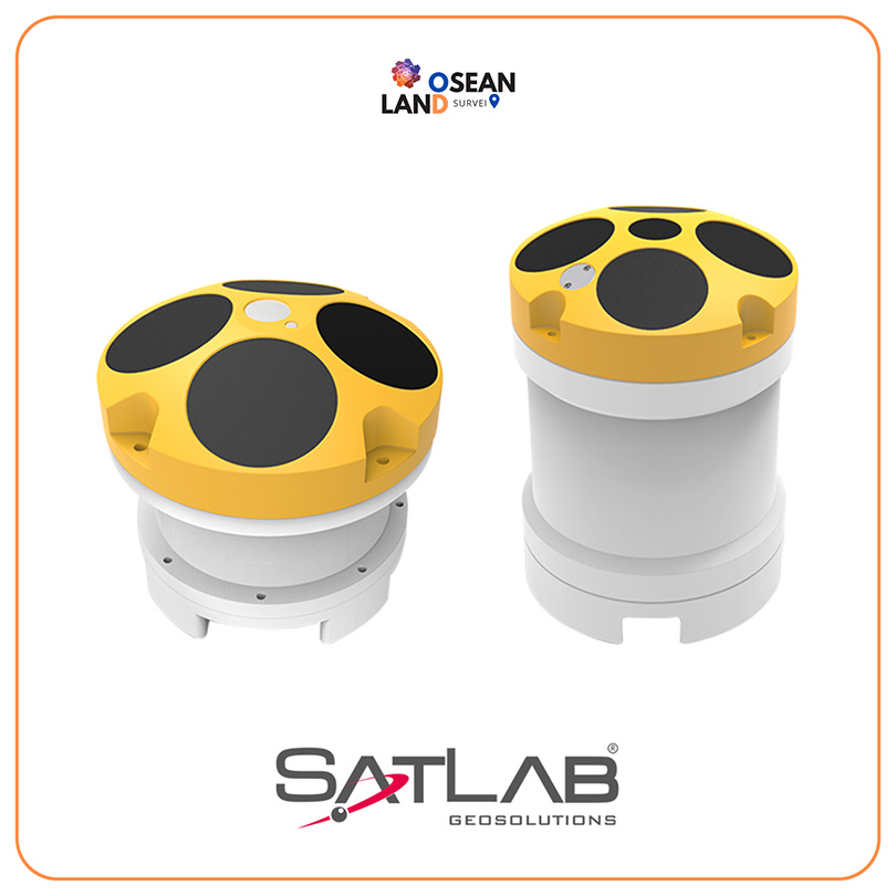
Satlab Hydroflow ADCP

The HydroFlow series direct-reading Acoustic Doppler Current Profiler(ADCP) is an accurate and easy to use current profiling system, which can be deployed on a flexible platform: trimaran, UVS, buoys and seafloor mounting and so on

View

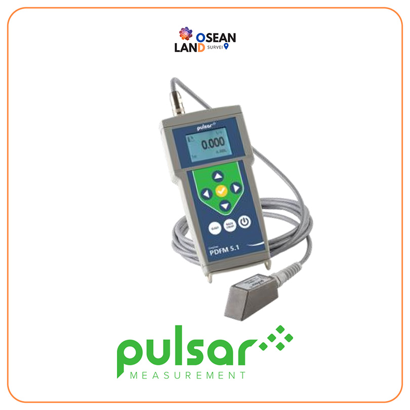
Pulsar PDFM 5.1

The ultrasonic Doppler technology used by the PDFM 5

View

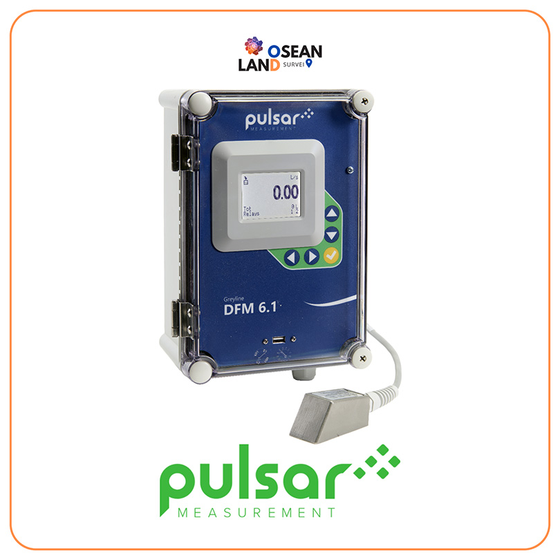
Pulsar DFM 6.1

Gaining flow measurement inside a pipe can sometimes be tricky

View

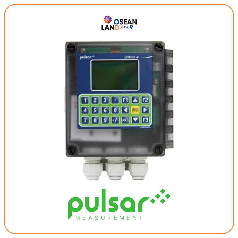
Pulsar Ultra 4

The Ultra 4 is a fully functional advanced controller for level, flow, volume, and pump control

View

All Filter

Sort by