Aerial & LiDAR

Geospasial

Marine & Hydrography

Pulsar Solution

Monitoring System

Agriculture & Precision Farming

Sensor Drone & Payload

UAV

Software

Integrated System

1745312764314

Disaster Migation

Mining

Infrastructure

Agriculture & Plantation

Marine & Water Resources

EPC & Industrial

Energy & Utilities

Sensor Drone & Payload

UAV

Software

Integrated System

1745312764314

Marine & Hydrography

Mapping the Depths with Unmatched Accuracy

Chart underwater terrain that was once impossible to survey efficiently. Combine multibeam sonar and bathymetric LiDAR systems to capture seabed contours, water depth, and coastal changes with centimeter-level precision. Produce nautical-grade hydrographic charts essential for port development, dredging, and marine safety.


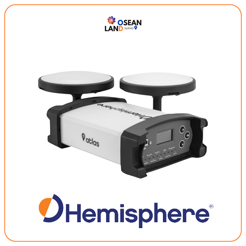
Atlas GNSS Global Correction Service

Atlas is an innovative, industry-leading GNSS-based global L-band correction service, providing robust performance at competitive market prices.

View

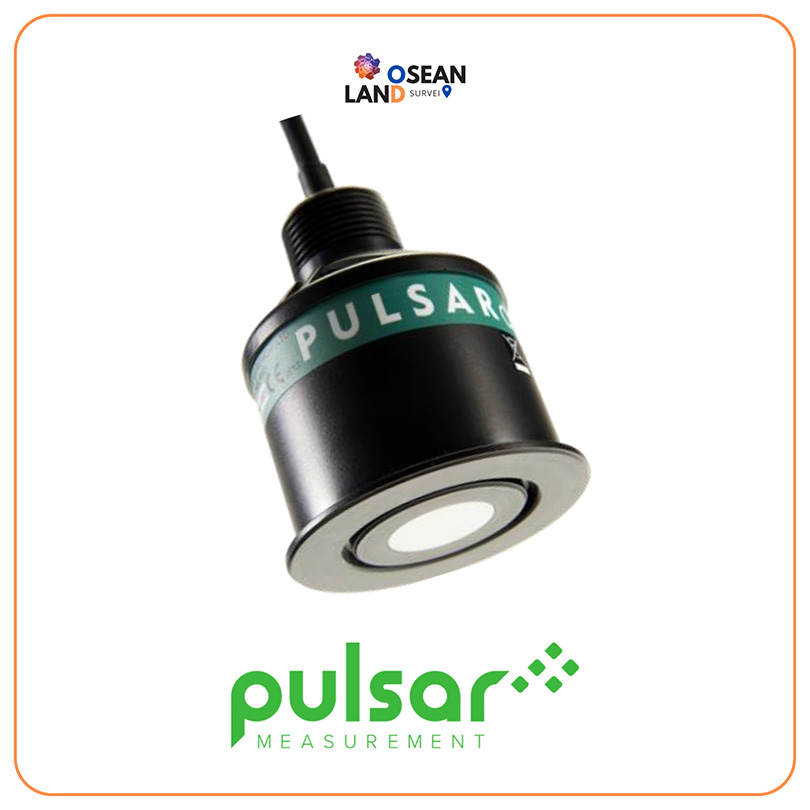
dB Transducer

The dB Transducer series from Pulsar Measurement is a range of level sensors for wastewater and industrial environments

View

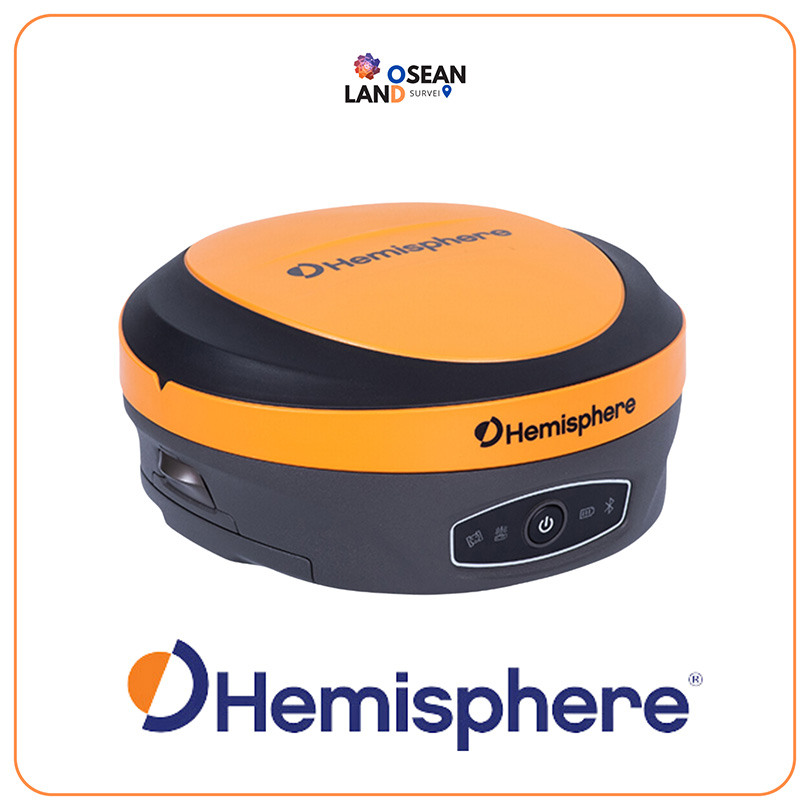
S631 GNSS Smart Antenna

The S631 provides robust performance and high precision in a compact and rugged package.

View

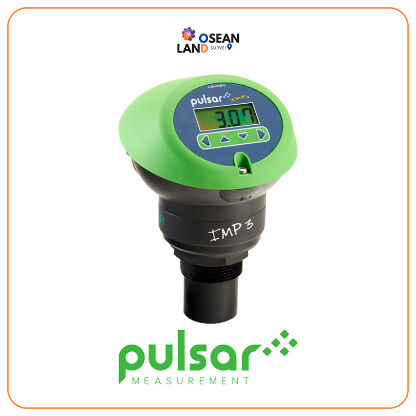
IMP Range

The IMP range of non-contacting level sensors from Pulsar Measurement are designed to be used wherever you need an accurate and reliable level indication

View

Vector VS1000 GNSS Receiver

The Vector™ VS1000 is Hemisphere GNSS’ premiere multi-GNSS, multi-frequency receiver designed specifically for the professional marine market.

View

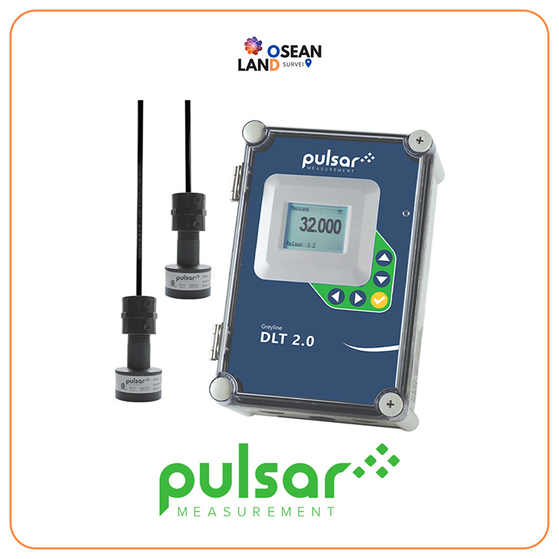
Greyline DLT 2.0

The DLT 2

View

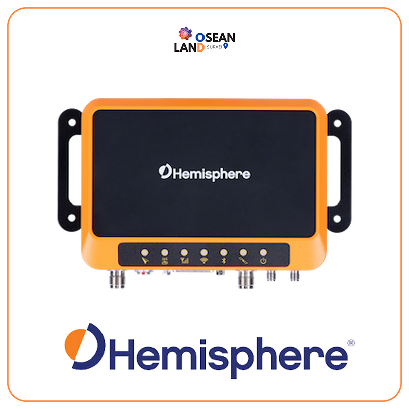
R632 GNSS Receiver

The R632 GNSS receiver is a full-solution product in an incredibly compact and powerful package, offering the ability to easily upgrade to an astounding 0.01° accurate heading.

View

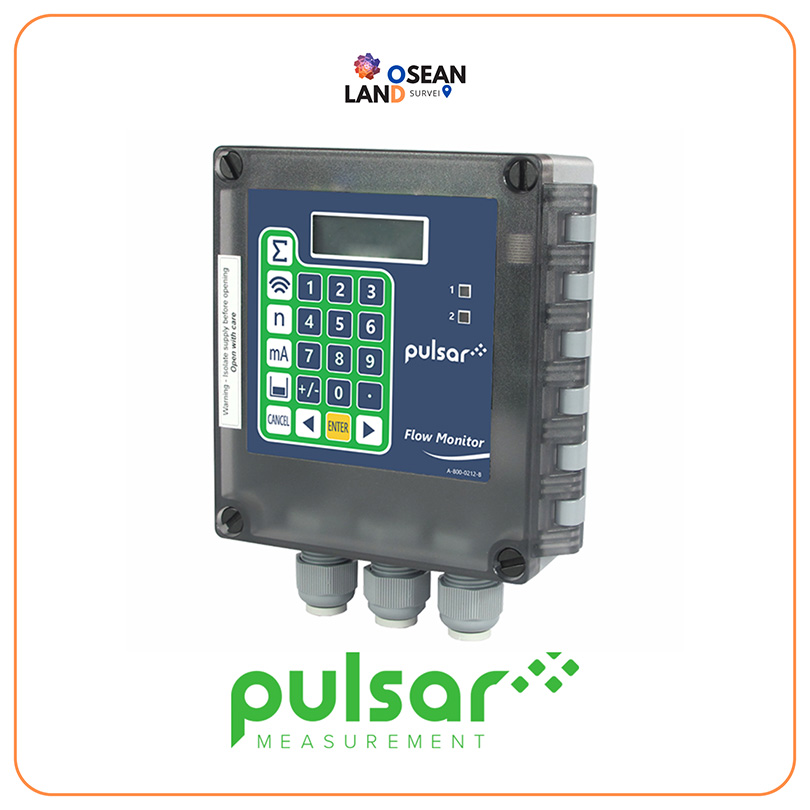
Pulsar Flow Monitor

The Pulsar Flow Monitor is designed to be combined with the FlowPulse Sensor, a dedicated wall-mounted device that gives an instant indication to pipe flow

View

All Filter

Sort by