Aerial & LiDAR

Geospasial

Marine & Hydrography

Pulsar Solution

Monitoring System

Agriculture & Precision Farming

Sensor Drone & Payload

UAV

Software

Integrated System

1745312764314

Disaster Migation

Mining

Infrastructure

Agriculture & Plantation

Marine & Water Resources

EPC & Industrial

Energy & Utilities

Sensor Drone & Payload

UAV

Software

Integrated System

1745312764314

Pulsar Solutions

Engineering the Future of Spatial Intelligence

Partner with a team that turns complex geospatial challenges into clear, actionable solutions. Combine cutting-edge drone technology, advanced sensors, and expert data processing under one integrated workflow. Deliver end-to-end mapping and monitoring solutions trusted across industries, from agriculture to infrastructure

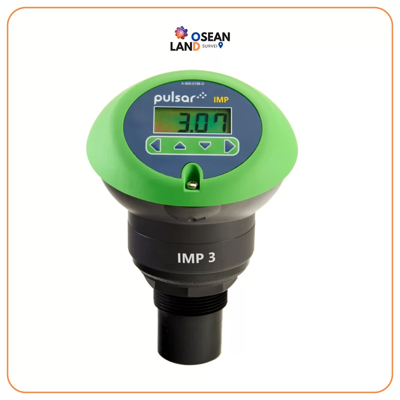
IMP

Pulsar IMP

The IMP range of non-contacting level sensors from Pulsar Measurement are designed to be used wherever you need an accurate and reliable level indication

View

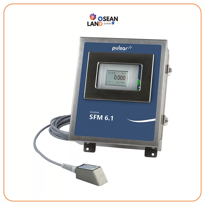
SFM 6.1

Pulsar SFM 6.1

The SFM 6

View

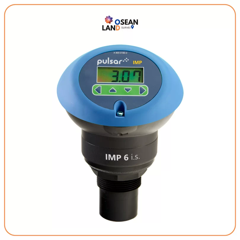
IMP IS

Pulsar IMP I.S.

The IMP range of level sensors feature a combined transducer and controller in one self-contained unit

View

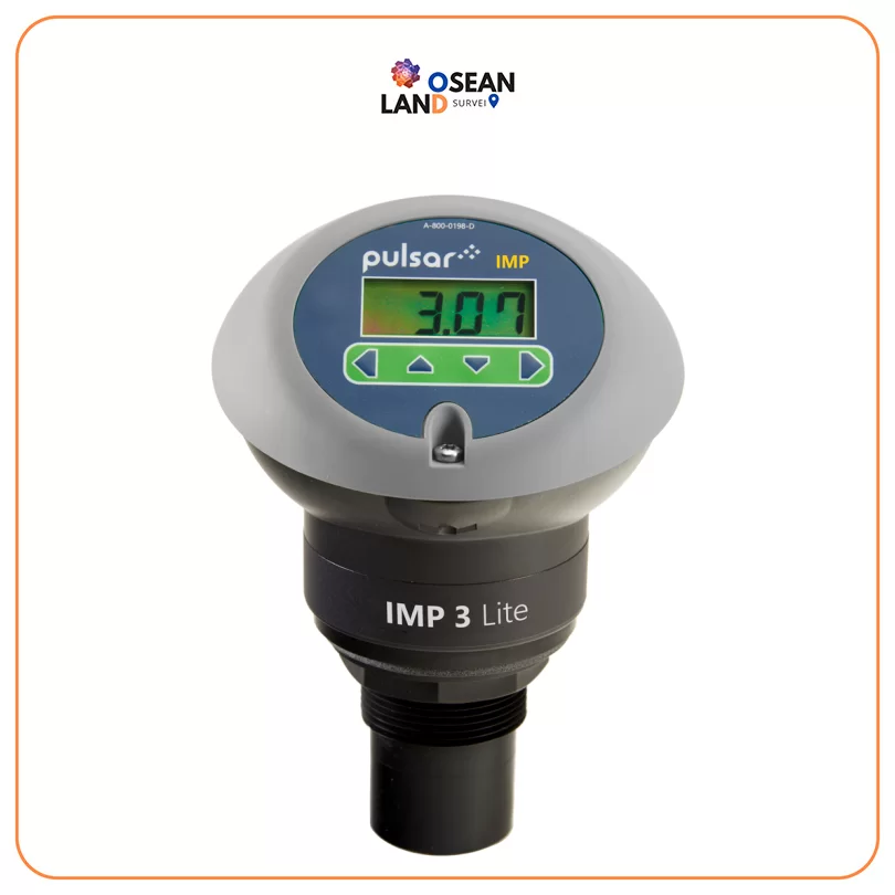
IMP LITE

Pulsar IMP Lite

The IMP Lite is part of the IMP non-contacting level sensor range from Pulsar Measurement

View

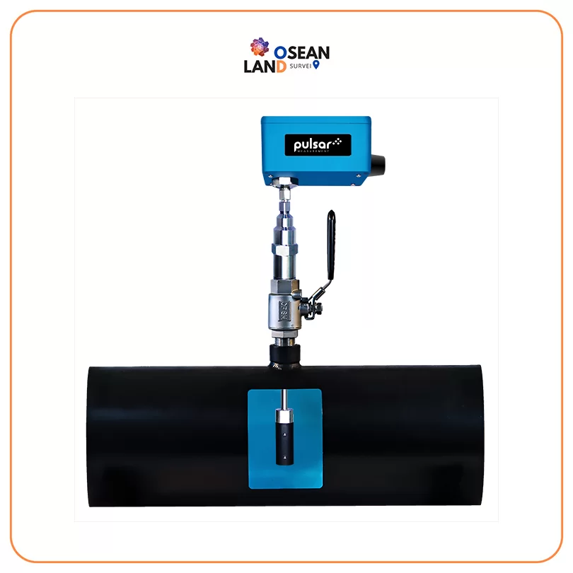
Pulsar ISM

Pulsar ISM 5.0 Electromagnetic Flow Meter

The ISM 5

View

ISM 5.0 Electromagnetic Flow Meter

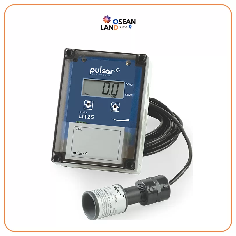
Pulsar LIT25

The LIT25 is a level indication sensor that displays, controls, and transmits level

View

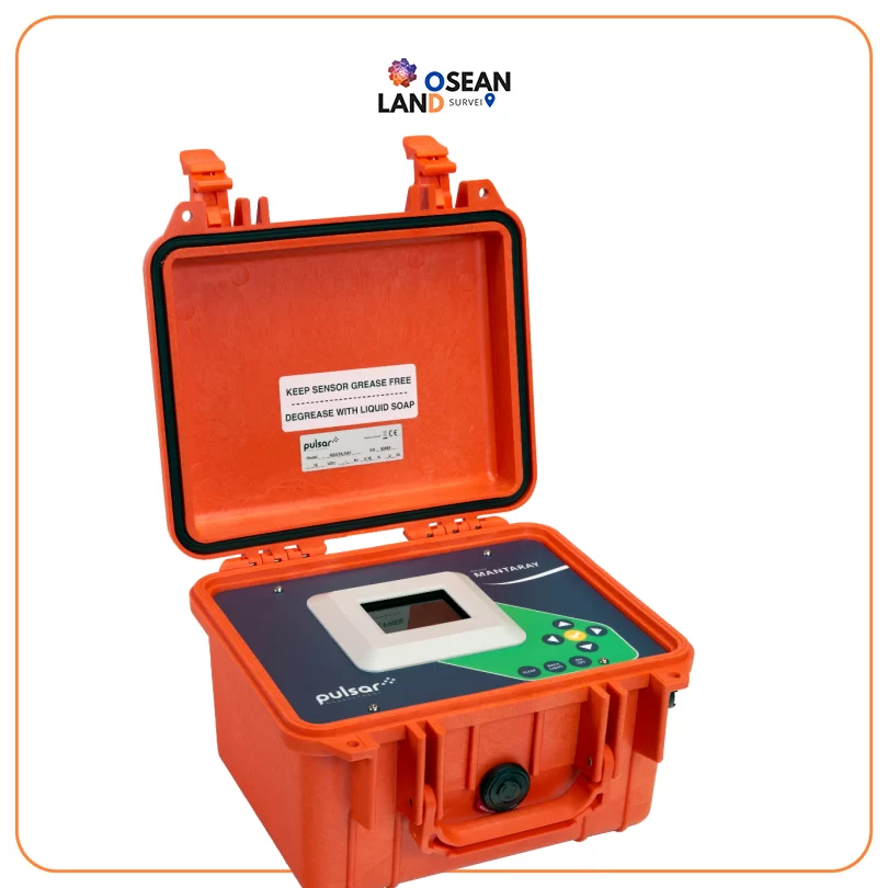
MantaRay

Pulsar MantaRay

The MantaRay is a portable area velocity meter that measures flow using a submersible ultrasonic sensor

View

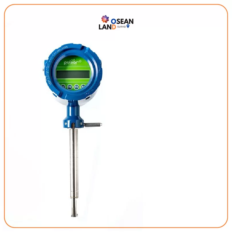
MDot

Pulsar MDot

The MDot™ is one of the most technically advanced gas flow meters specifically designed for water and wastewater

View

All Filter

Sort by