Aerial & LiDAR

Geospasial

Marine & Hydrography

Pulsar Solution

Monitoring System

Agriculture & Precision Farming

Sensor Drone & Payload

UAV

Software

Integrated System

1745312764314

Disaster Migation

Mining

Infrastructure

Agriculture & Plantation

Marine & Water Resources

EPC & Industrial

Energy & Utilities

Sensor Drone & Payload

UAV

Software

Integrated System

1745312764314

Pulsar Solutions

Engineering the Future of Spatial Intelligence

Partner with a team that turns complex geospatial challenges into clear, actionable solutions. Combine cutting-edge drone technology, advanced sensors, and expert data processing under one integrated workflow. Deliver end-to-end mapping and monitoring solutions trusted across industries, from agriculture to infrastructure

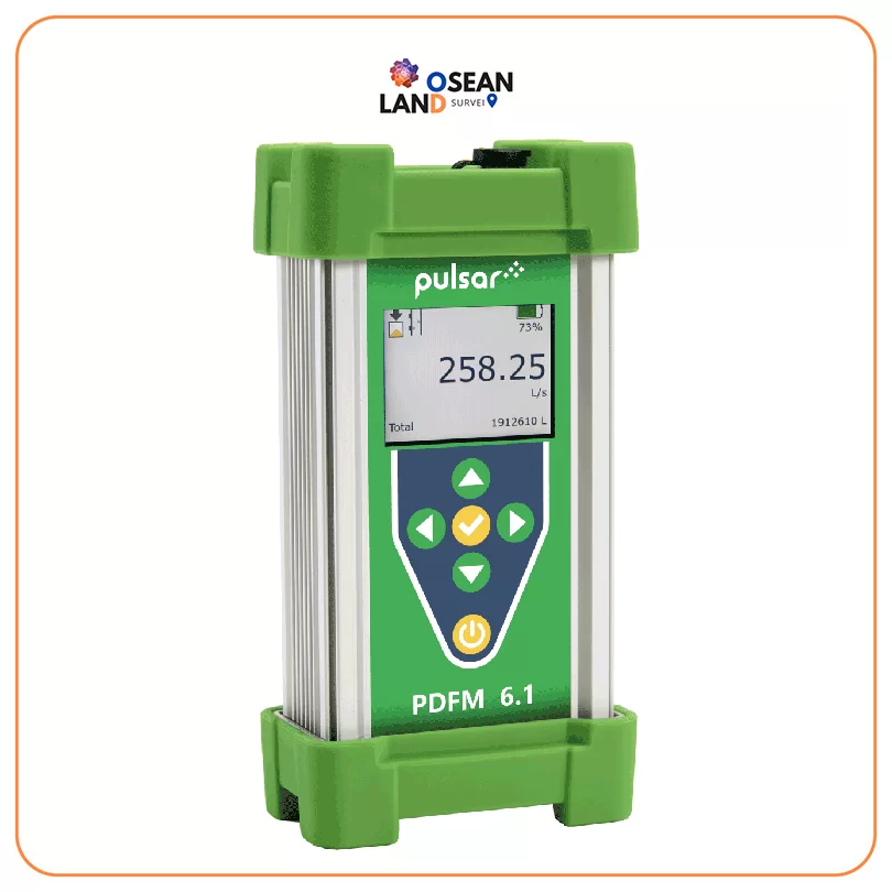
PDFM 6.1

Pulsar PDFM 6.1

The PDFM 6

View

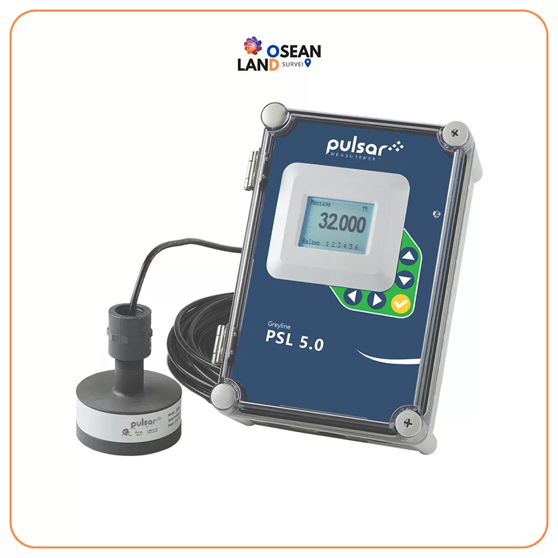
PSL 5.0

Pulsar PSL 5.0

The PSL 5

View

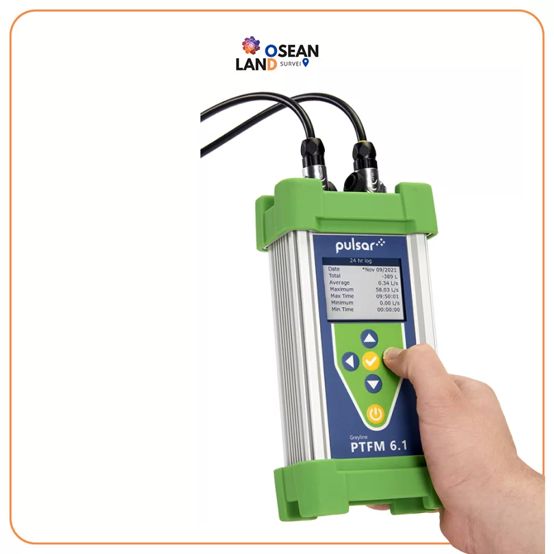
Pulsar PTFM 6.1

Pulsar PTFM 6.1

Whether you need flow measurement when you didn’t have it before, or you need to prove that your existing system is performing properly, the PTFM 6

View

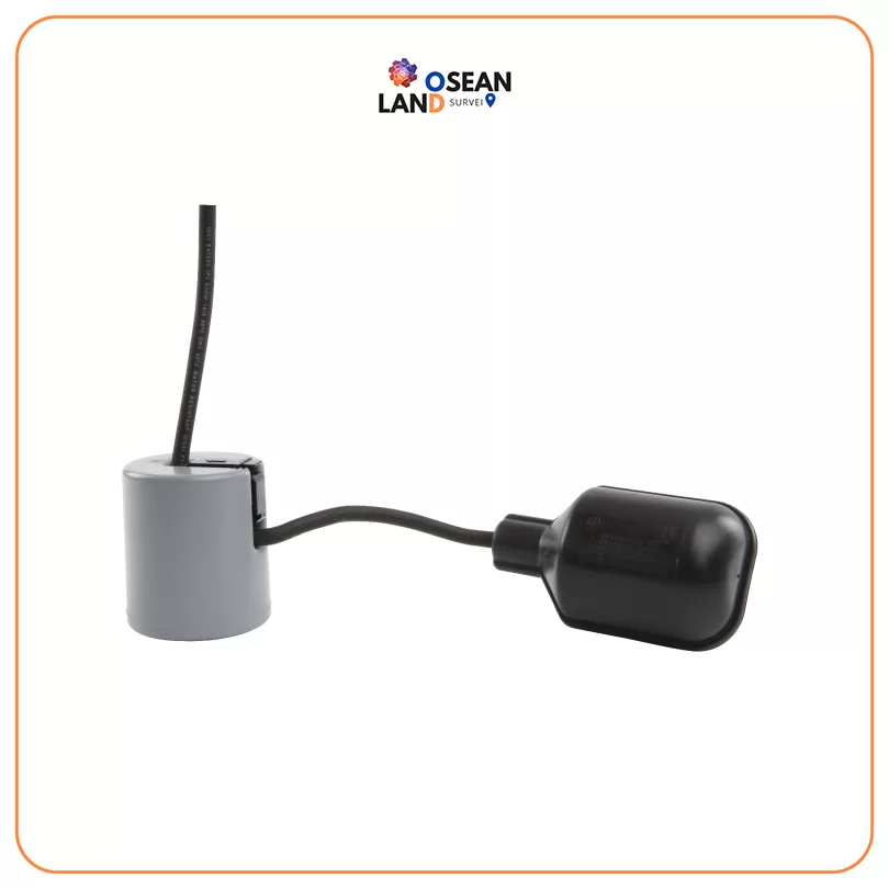
PulsarPoint 800 series

PulsarPoint 800 series

The PulsarPoint 800 series is designed for very reliable operation when controlling the level of non-potable water and sewage

View

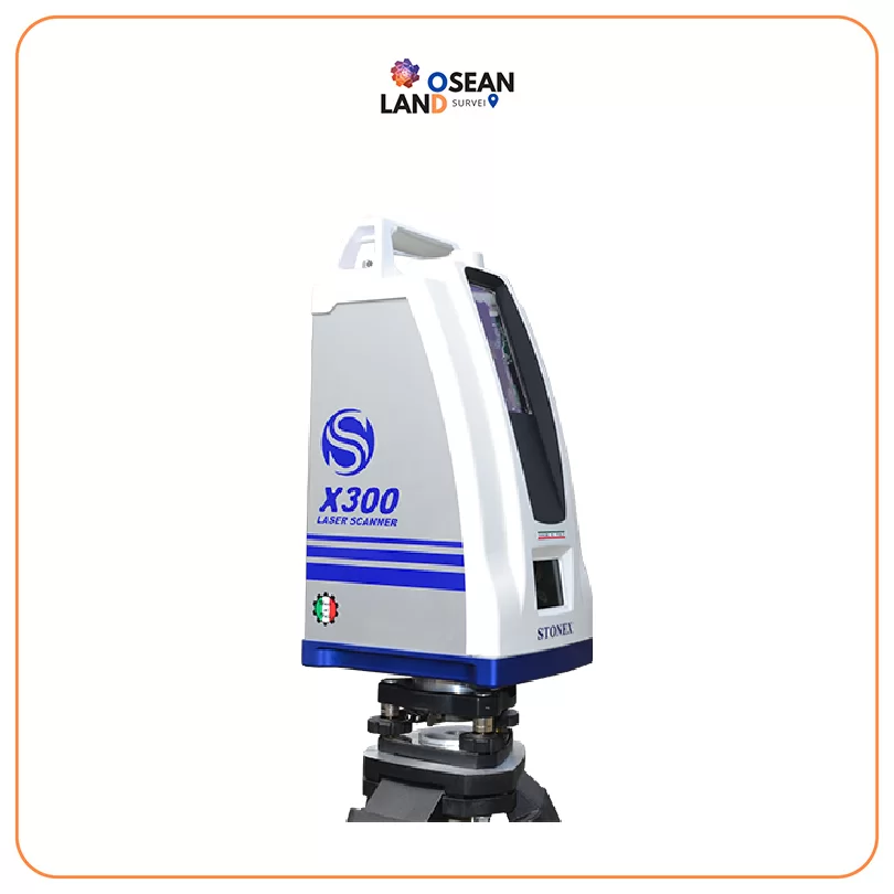
X300 Laser Scanner

X300 Laser Scanner

STONEX X300 is a 3D Laser Scanner designed to provide accurate data every time and for any project

View

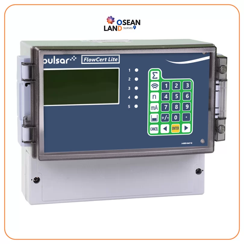
Pulsar FlowCERT Lite

Pulsar FlowCERT Lite

The FlowCERT Lite from Pulsar Measurement brings the sophistication of FlowCERT, fully certified to MCERTS Class 1, within reach of many more applications

View

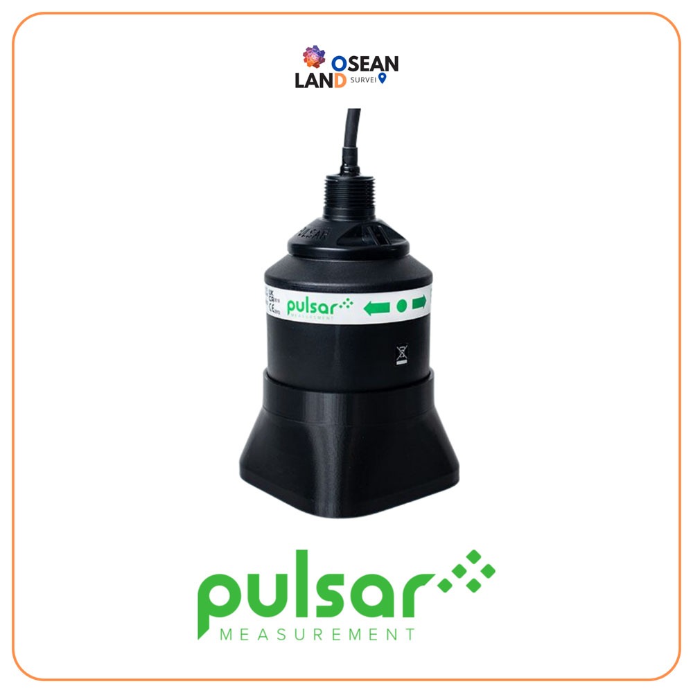
Pulsar Farsight

Providing the highest confidence in challenging velocity measurement applications while maintaining maximum performance

View

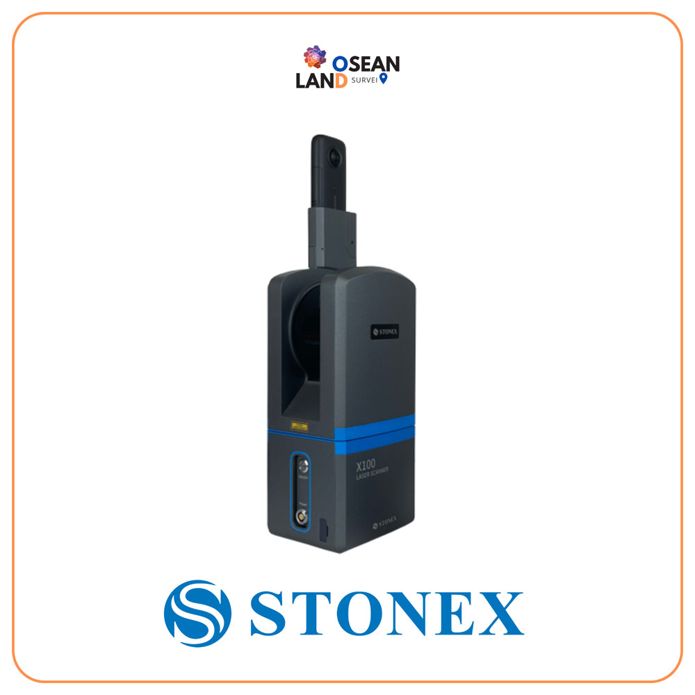
X100 Laser Scanner

X100 is a small and compact terrestrial laser scanner that is quick and easy to use

View

All Filter

Sort by