Aerial & LiDAR

Geospasial

Marine & Hydrography

Pulsar Solution

Monitoring System

Agriculture & Precision Farming

Sensor Drone & Payload

UAV

Software

Integrated System

1745312764314

Disaster Migation

Mining

Infrastructure

Agriculture & Plantation

Marine & Water Resources

EPC & Industrial

Energy & Utilities

Sensor Drone & Payload

UAV

Software

Integrated System

1745312764314

Find the Right Gear or Solution in Seconds

Answer a few quick questions or search directly to get tailored equipment and service recommendations for your site.

🔍
93 results found for "software"
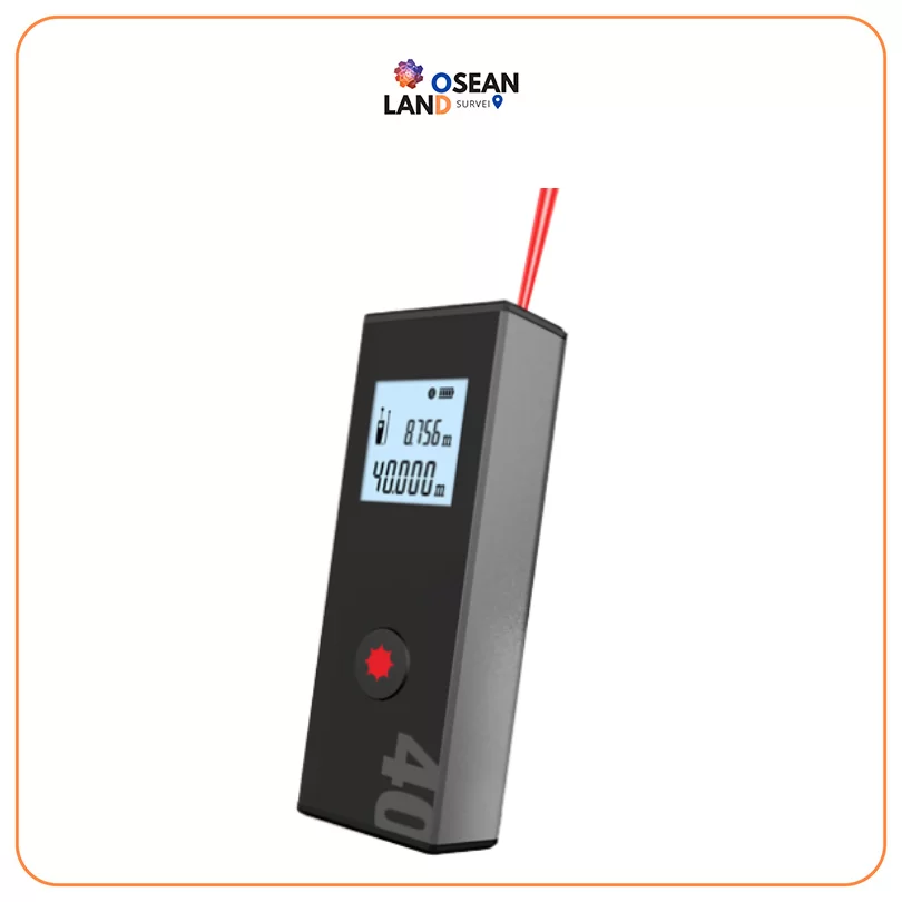
M1 Laser Distance Meter

M1 Laser Distance Meter

Stonex M1 is a small and very easy to use Bluetooth Laser Distance meter

View

Cube-3d Software

Stonex Cube 3D

Easy to use and versatile

View

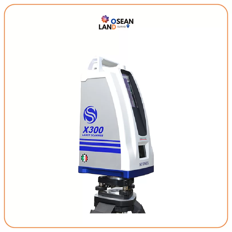
X300 Laser Scanner

X300 Laser Scanner

STONEX X300 is a 3D Laser Scanner designed to provide accurate data every time and for any project

View

Stonex Cube-Link

Stonex Cube-Link

What sets FieldGenius apart from the competition?

View

Stonex Cube-Manager

Stonex Cube-Manager

Cube-manager has been developed to work on desktop computers running Microsoft Windows and it implements the tools to download, to manage and to process the data acquired with one of the mobile solutions

View

Cube nrtk

Stonex Cube-nrtk

Cube-nrtk is a GNSS software designed for managing GNSS station networks

View

Couldn’t Find Quite What You Were Looking For?

Tell us what you’re working on, and our team will build a custom setup.
What type industry are you working in?

🔍

All Filter

Sort by