Aerial & LiDAR

Geospasial

Marine & Hydrography

Pulsar Solution

Monitoring System

Agriculture & Precision Farming

Sensor Drone & Payload

UAV

Software

Integrated System

1745312764314

Disaster Migation

Mining

Infrastructure

Agriculture & Plantation

Marine & Water Resources

EPC & Industrial

Energy & Utilities

Sensor Drone & Payload

UAV

Software

Integrated System

1745312764314

Find the Right Gear or Solution in Seconds

Answer a few quick questions or search directly to get tailored equipment and service recommendations for your site.

🔍
93 results found for "software"

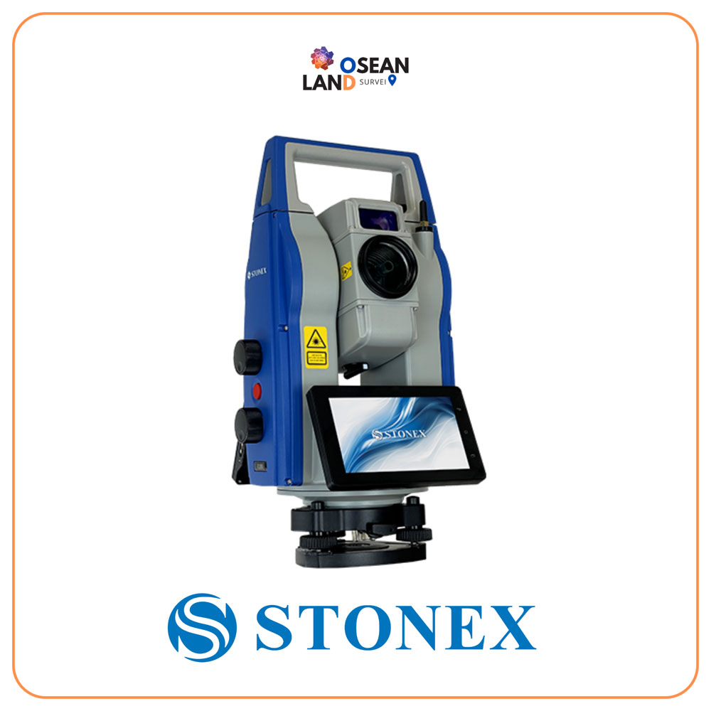
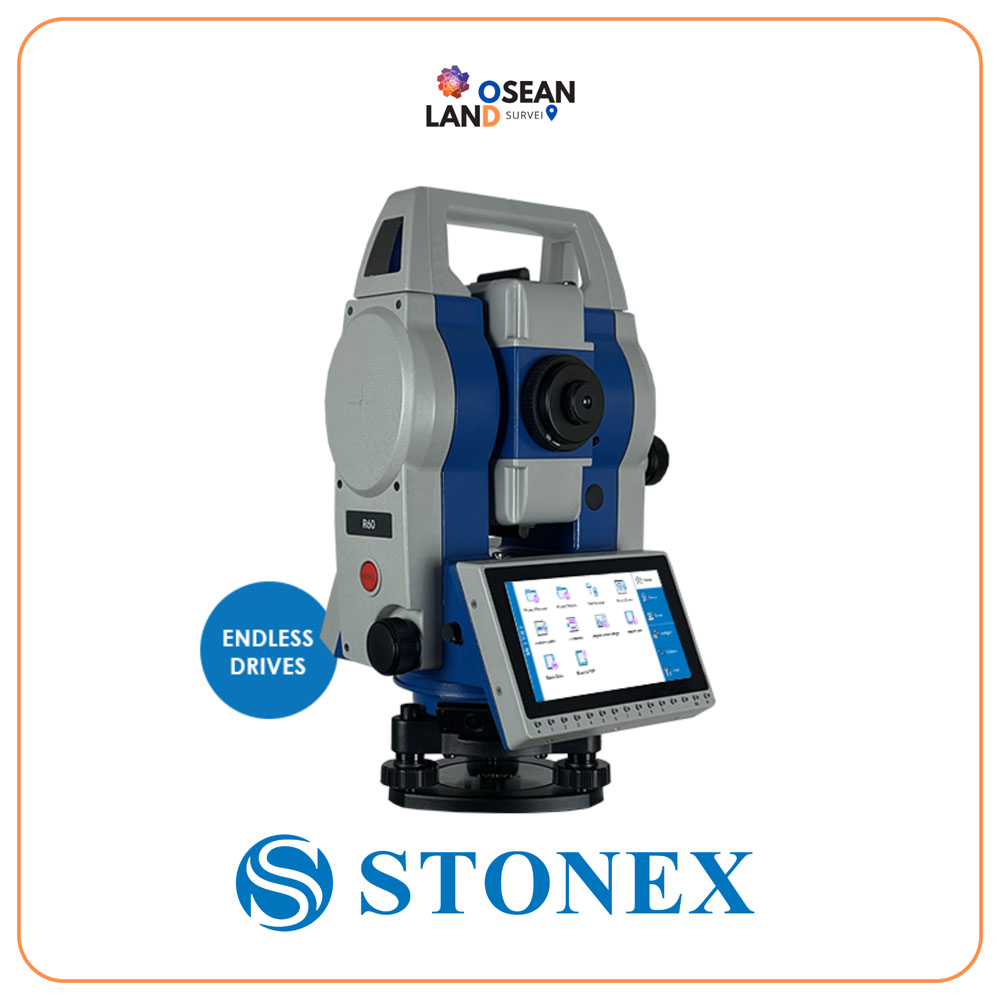
R60 Total Station

The R60 is a device with a 5

View

R180 Robotic Total Station

The R180 is a highly accurate and fast Android robotic station

View

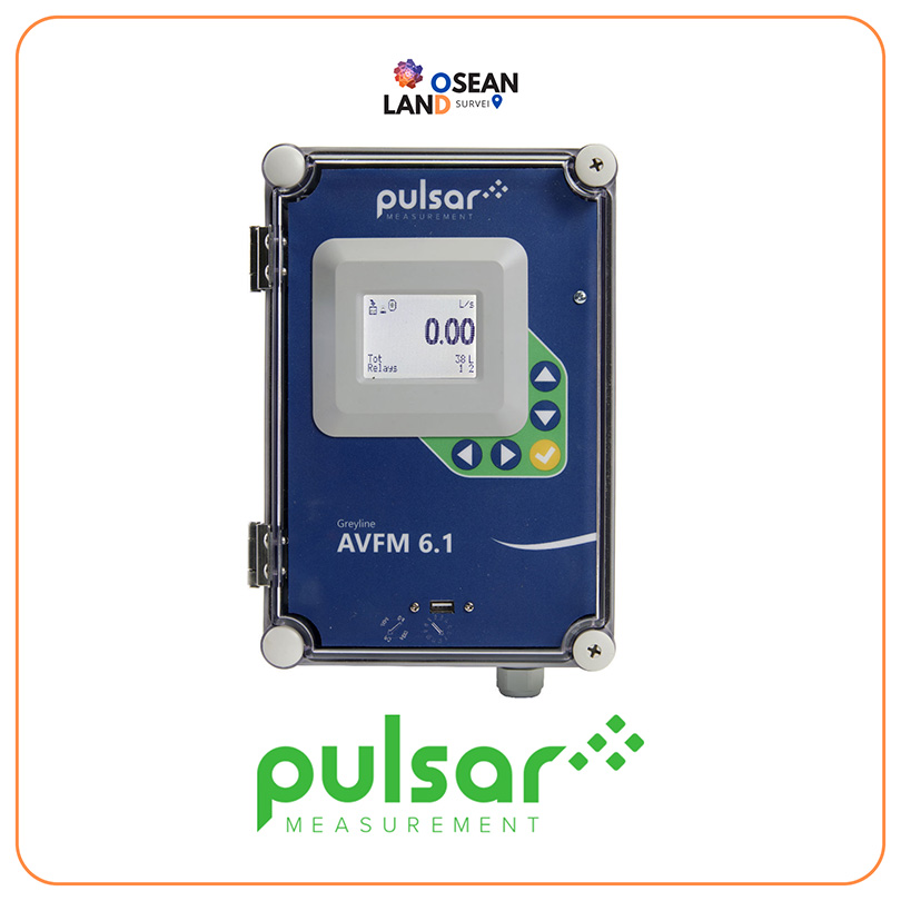
AVFM 6.1 Area Velocity

The Area Velocity Flow Measurement method is the most common method of all flow measurements

View

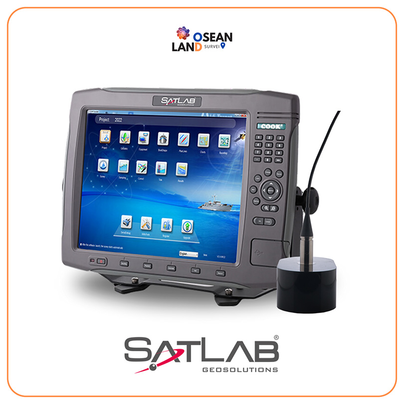
Satlab – ES-224 Dual-frequency Echo Sounder

ES-224 dual-frequency echo sounder is widely used in sediment measurement for dredging and other water depth measurement projects in shallow water, deep water, and high sandy water

View

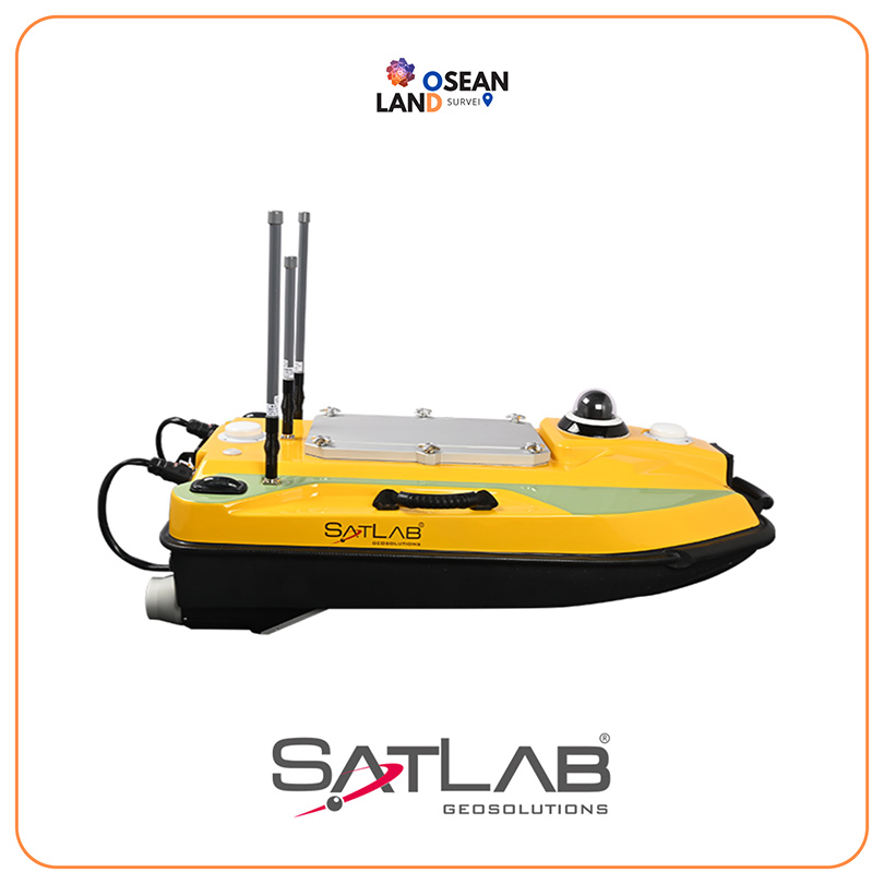
Satlab USV HydroBoat 990 Bathymetric

Truly convenient, truly Powerful, and truly reliable HydroBoat 990 is an Android-powered USV system for bathymetric surveys

View

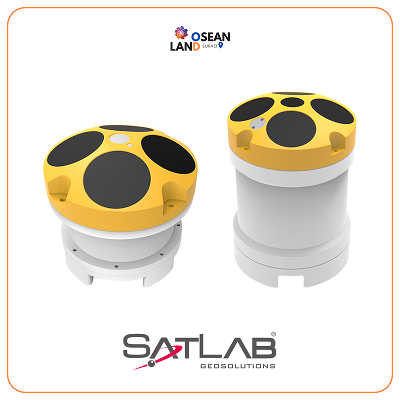
Satlab Hydroflow ADCP

The HydroFlow series direct-reading Acoustic Doppler Current Profiler(ADCP) is an accurate and easy to use current profiling system, which can be deployed on a flexible platform: trimaran, UVS, buoys and seafloor mounting and so on

View

Couldn’t Find Quite What You Were Looking For?

Tell us what you’re working on, and our team will build a custom setup.
What type industry are you working in?

🔍

All Filter

Sort by