Aerial & LiDAR

Geospasial

Marine & Hydrography

Pulsar Solution

Monitoring System

Agriculture & Precision Farming

Sensor Drone & Payload

UAV

Software

Integrated System

1745312764314

Disaster Migation

Mining

Infrastructure

Agriculture & Plantation

Marine & Water Resources

EPC & Industrial

Energy & Utilities

Sensor Drone & Payload

UAV

Software

Integrated System

1745312764314

Find the Right Gear or Solution in Seconds

Answer a few quick questions or search directly to get tailored equipment and service recommendations for your site.

🔍
93 results found for "software"

SLAM X70 GO

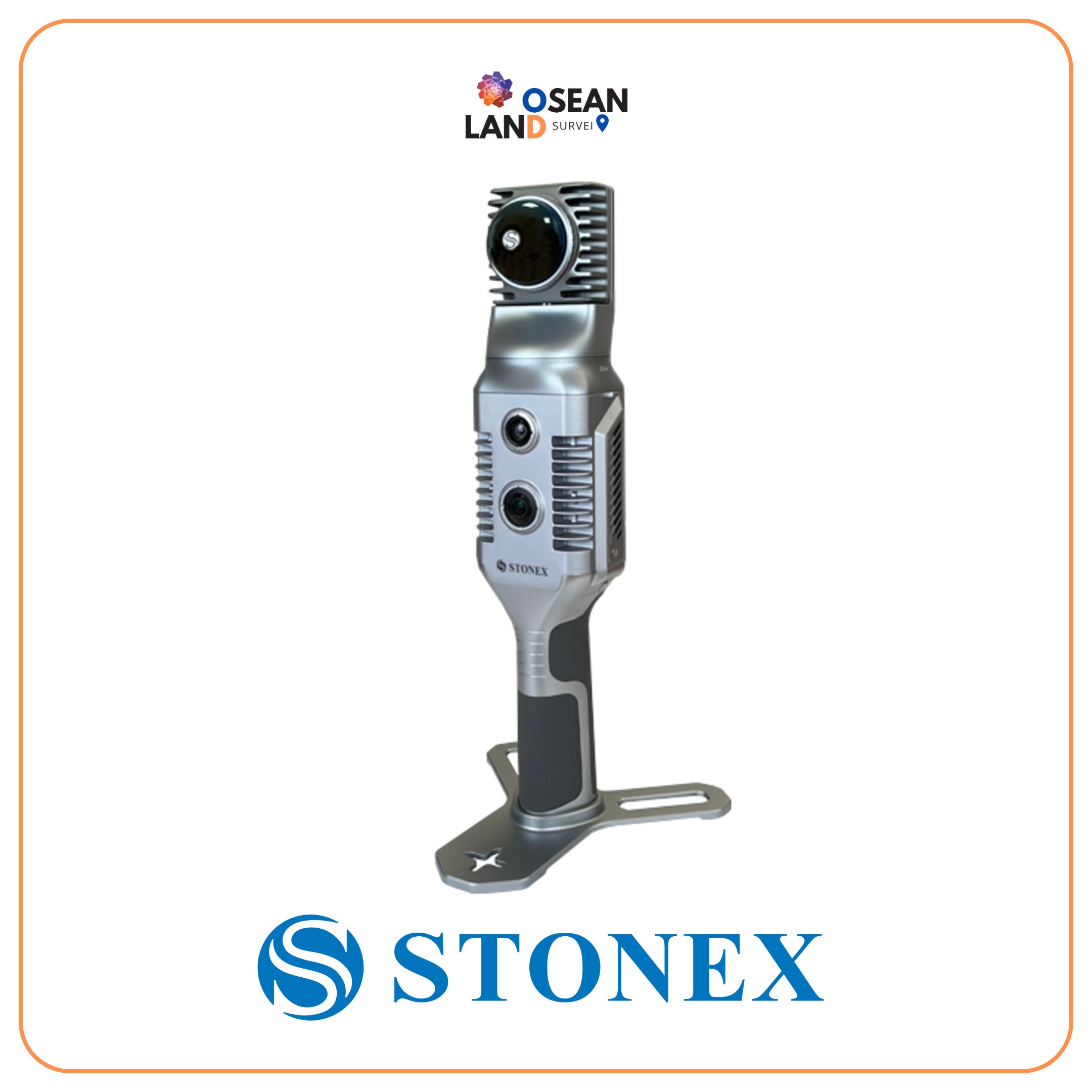
X70GO is a real-time 3D model reconstruction device which integrates inertial navigation module, high performance computer and storage system.

View

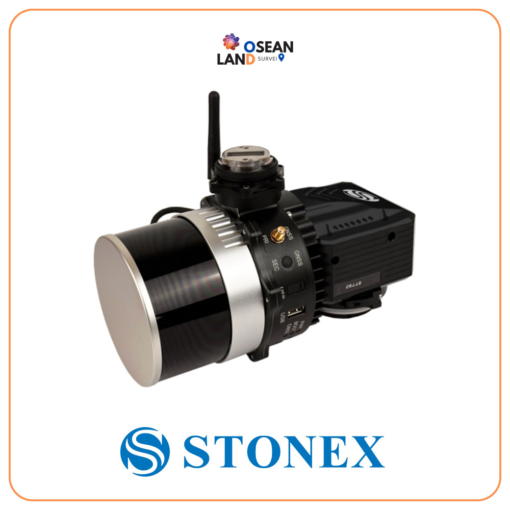
XFly LiDAR Solution

The XFLY series combines an advanced Inertial Navigation System with a camera and LiDAR to generate point clouds

View

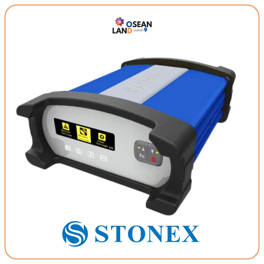
GNSS SC200

STONEX SC200 is typically used as an NTRIP server, and is the perfect equipment for many different jobs, based on the acquisition, the processing, the distribution and the management of GNSS correction data; moreover the SC200 supports raw data logging with up to 50Hz update rate

View

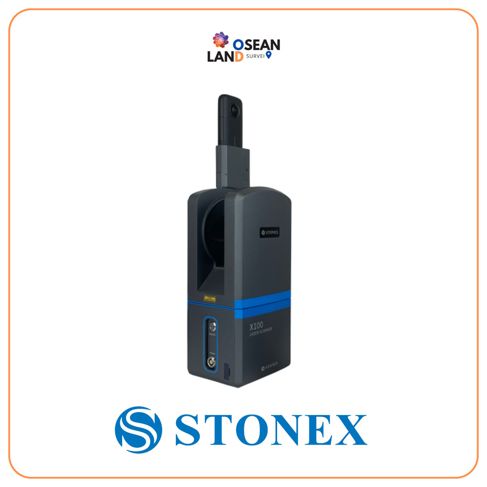
X100 Laser Scanner

X100 is a small and compact terrestrial laser scanner that is quick and easy to use

View

R25/R25LR Total Station

High accuracy and long reflectorless range are the perfect combination that makes Stonex R25/R25LR the best friend of every professional surveyor

View

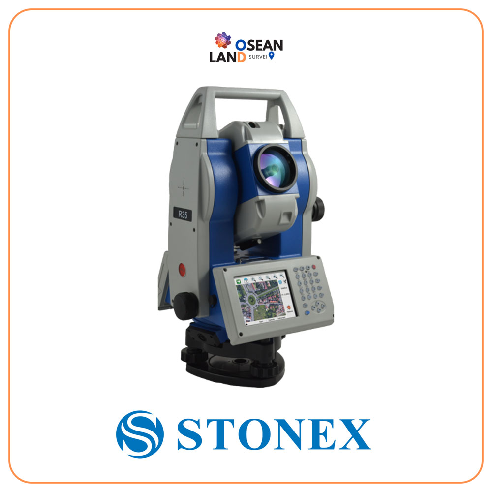
R35/R35LR Total Station

Stonex R35/R35LR series is the most customizable Total Station of the market

View

Couldn’t Find Quite What You Were Looking For?

Tell us what you’re working on, and our team will build a custom setup.
What type industry are you working in?

🔍

All Filter

Sort by